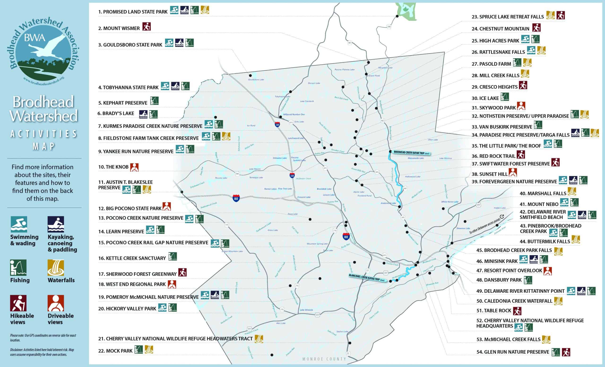
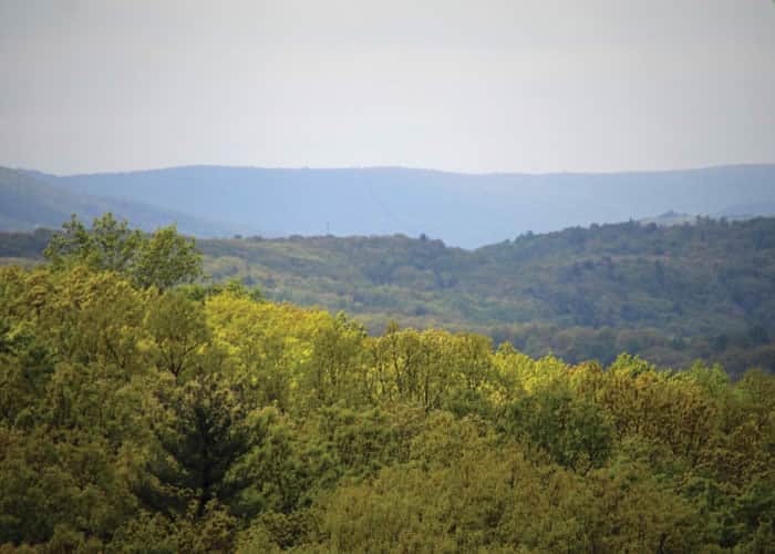
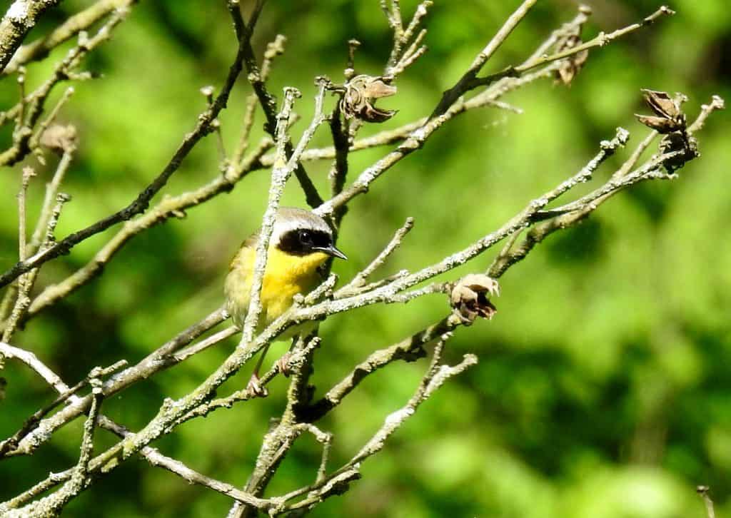
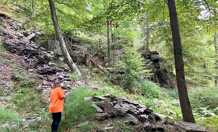
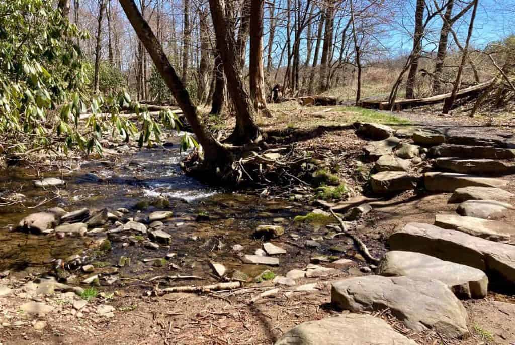
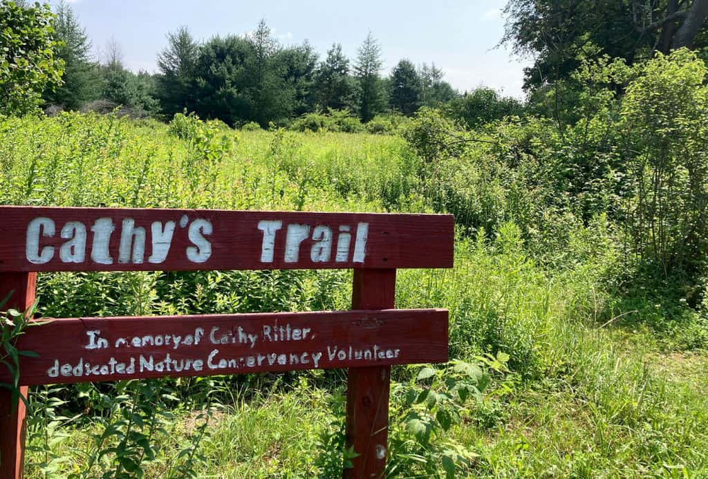
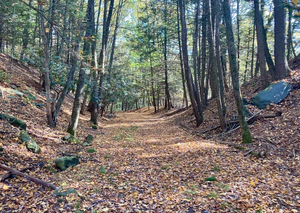
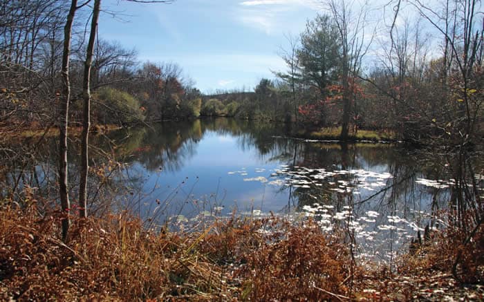
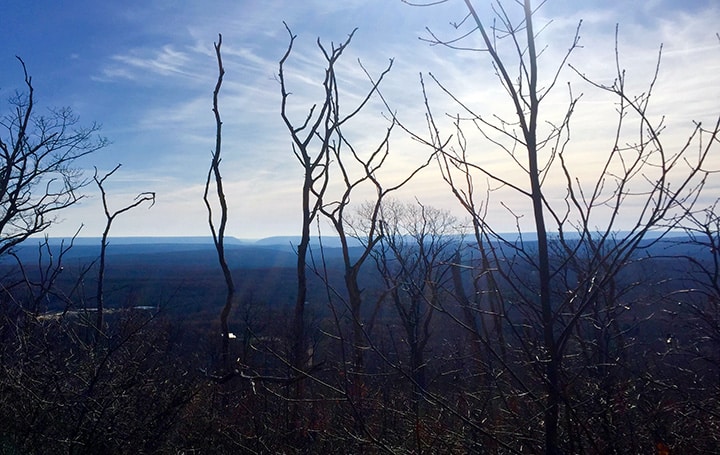
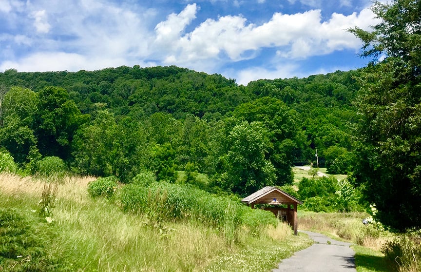
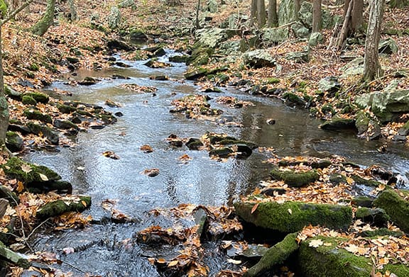
IN APPRECIATION OF PROTECTED LAND, PROTECTED WATER
GET YOUR FREE MAP
Most of the locations on the map are free to visit — protected with public tax dollars by townships, boroughs, Monroe County and the Commonwealth of Pennsylvania. These lands protect drinking water and native forests, provide healthful recreation, and support wild trout fisheries and wildlife habitat. The map and the Get Outdoors Poconos series of public hikes are supported by a grant from the William Penn Foundation.
To get a copy of the map “Finding fun in the Brodhead Watershed,” check these locations. Please call to confirm hours for browsing and curbside pickup.
• Barrett Paradise Friendly Library, 6500 Route 191, Cresco, PA 18326; (570) 595-7171
• Clymer Library, 115 Firehouse Road, Pocono Pines, PA 18350; (570) 646-0826
• Hughes Library, 1002 North Ninth Street, Stroudsburg, PA 18360; (570) 421-0800
• Library of the Smithfields, 5200 Milford Road, East Stroudsburg, PA 18302; (570) 223-1881
• Pocono Mountain Public Library, 5500 Municipal Drive, Tobyhanna, PA 18466; (570) 894-8860
• Western Pocono Community Library, 131 Pilgrim Way, Brodheadsville, PA 18322; (570) 992-7934
• Steele’s Ace Hardware, 6626 Route 191, Cresco, PA 18326; (570) 595-2501
BWA will gladly mail a map to members only. Email your address to admin@brodheadwatershed.org to request one. Not a member? You can join online at brodheadwatershed.org/become-a-member/ and then email your map request to admin@brodheadwatershed.org.
Map your family fun outdoors
With every morning smelling like spring in the lead-up to Earth Day on April 22, 2021, wouldn’t you like to get outside and play?
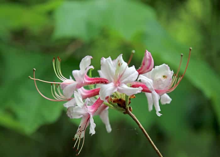
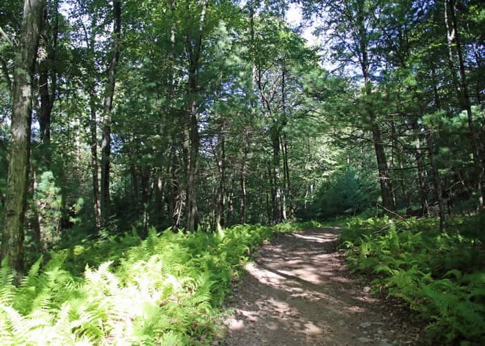
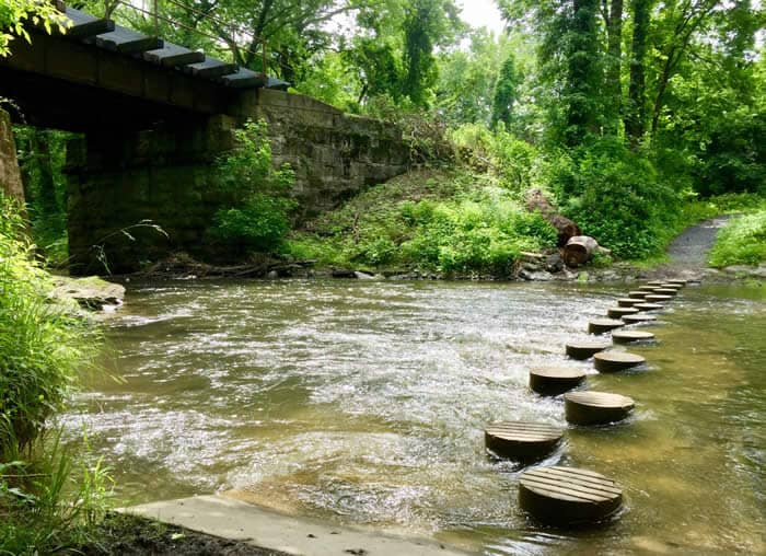
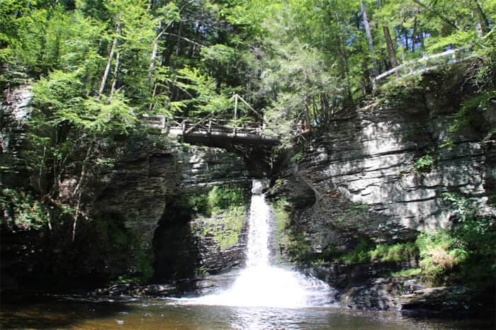
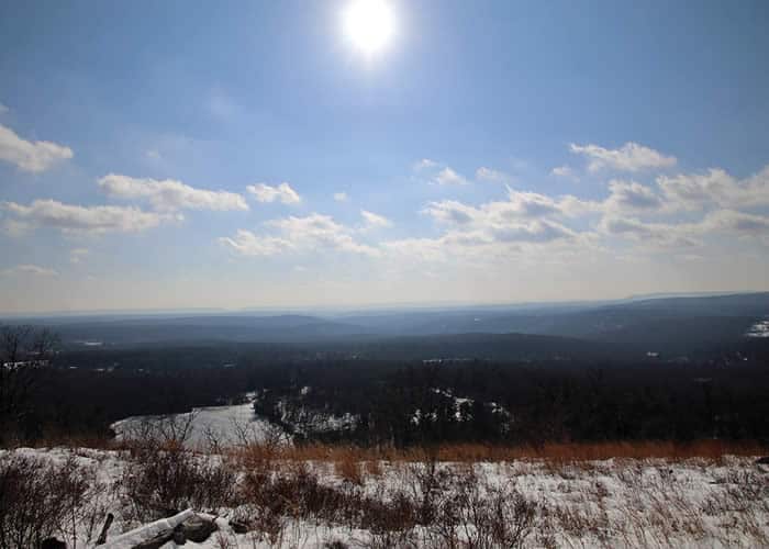
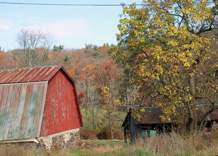
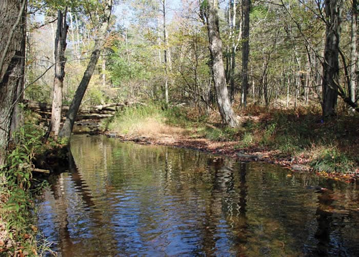
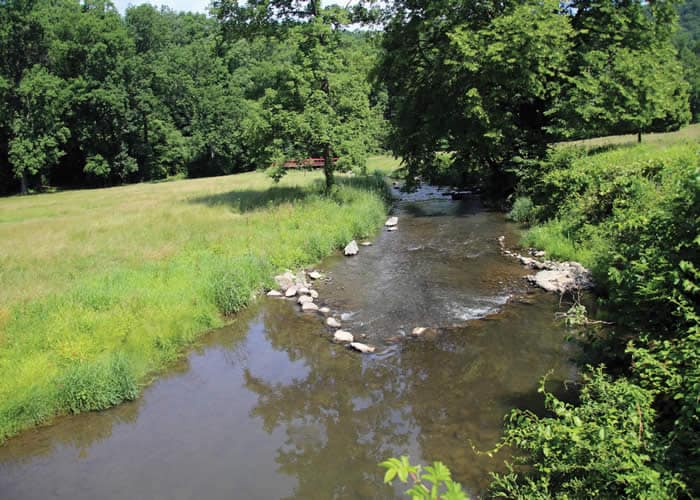
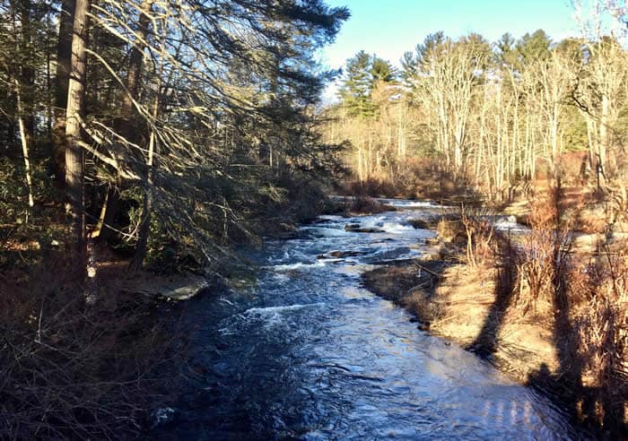
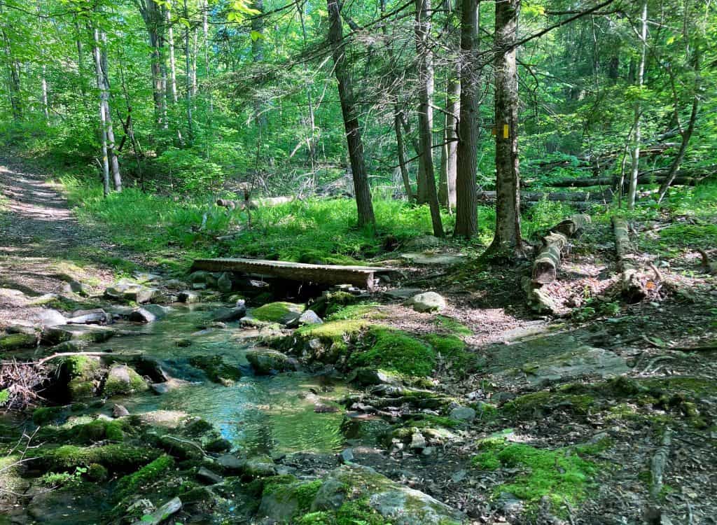
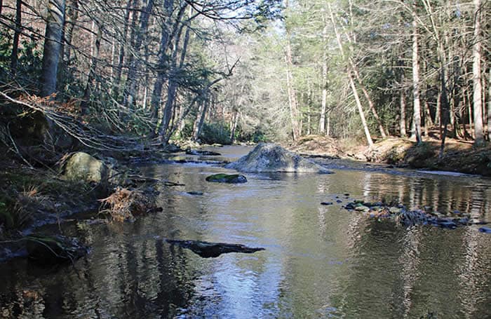
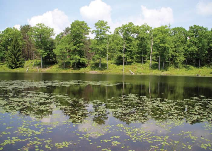
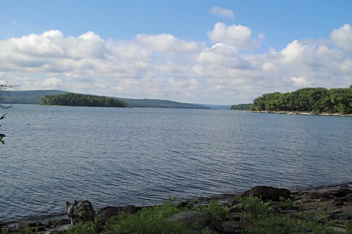
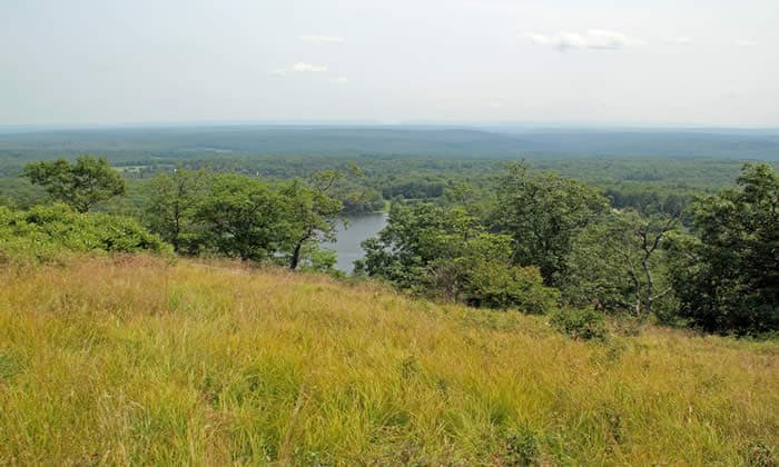
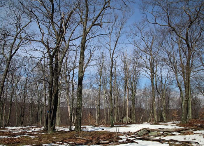
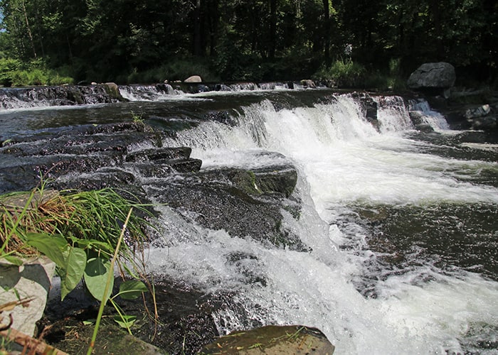
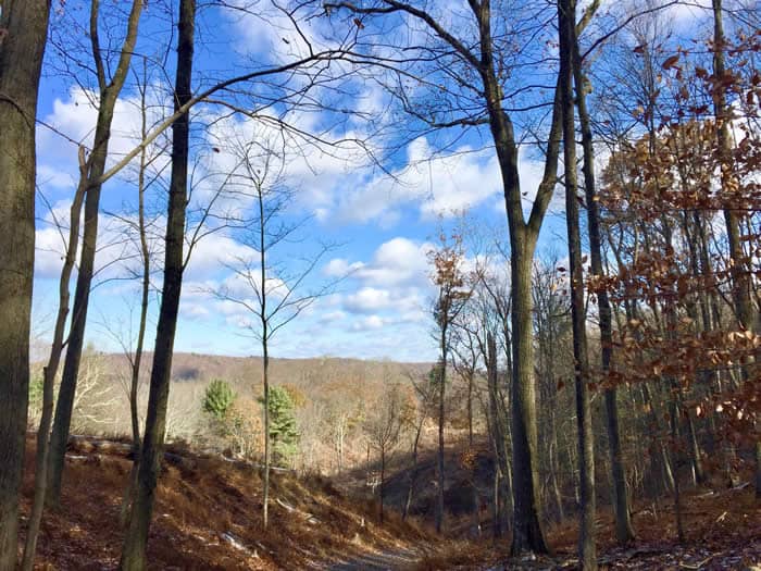
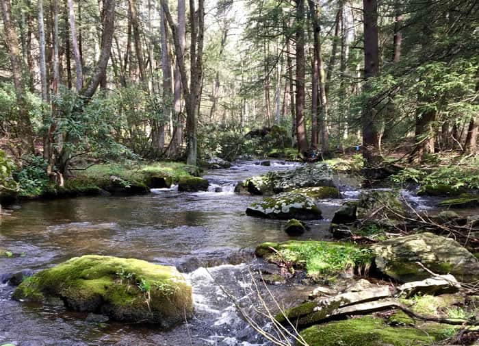
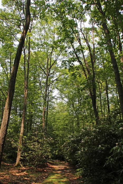
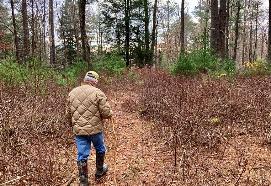
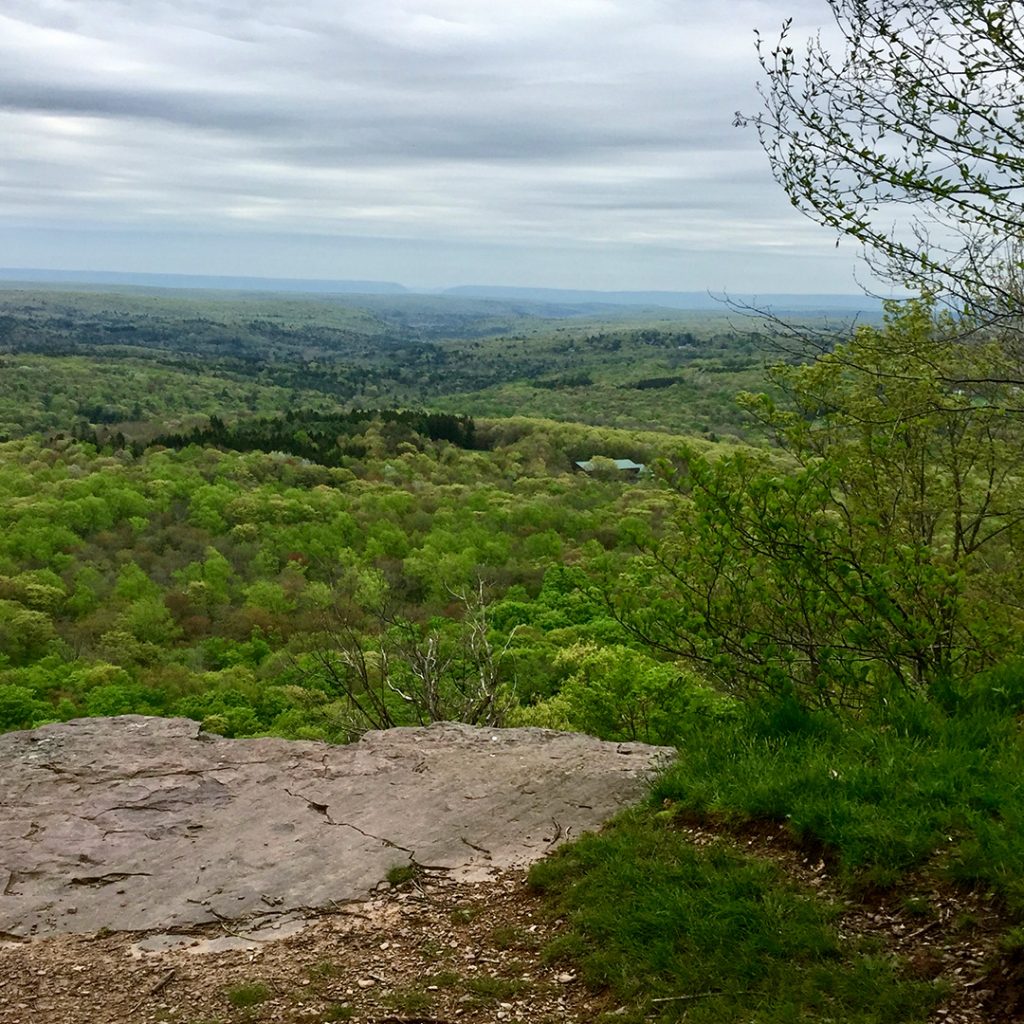
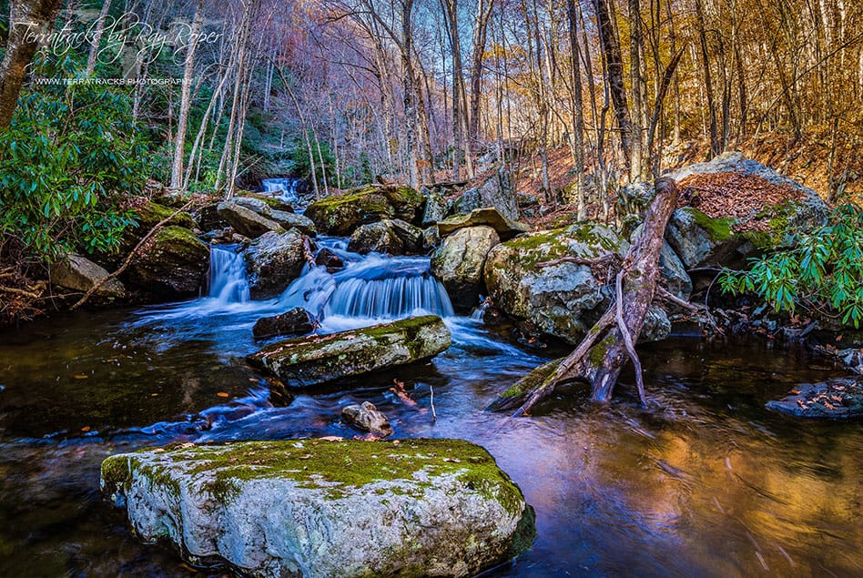
Brodhead Watershed Association has just the ticket: “Finding fun in the Brodhead Watershed,” a map of nature-based water activities, all but one of them public and free, right here in the Poconos – nature’s original waterpark.
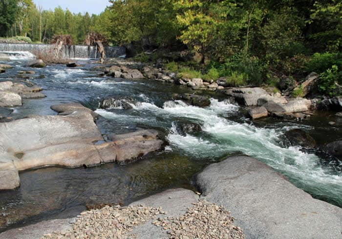
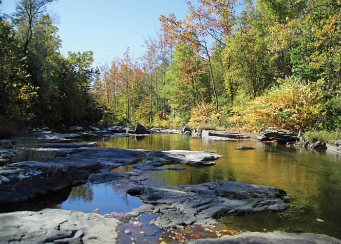
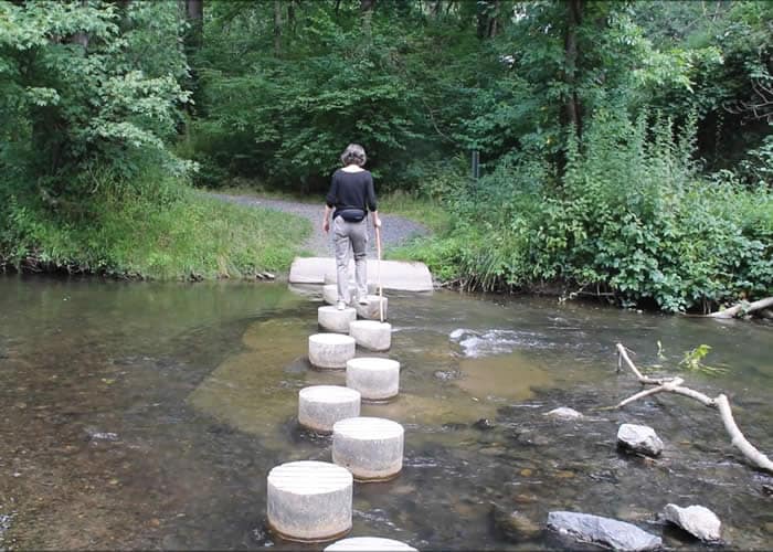
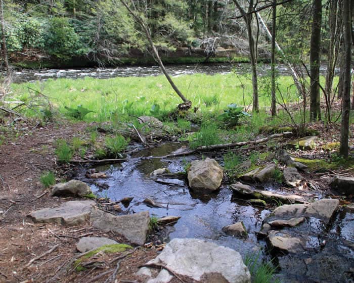
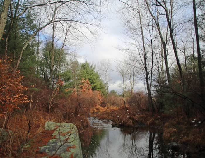
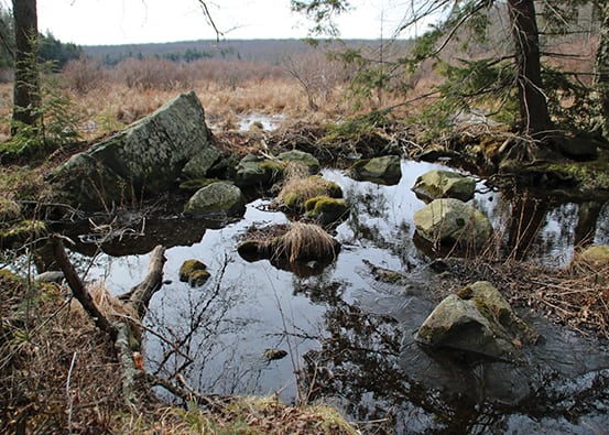
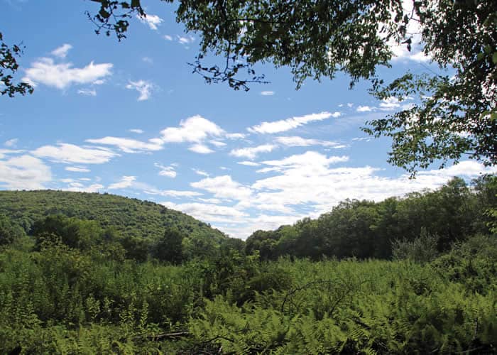
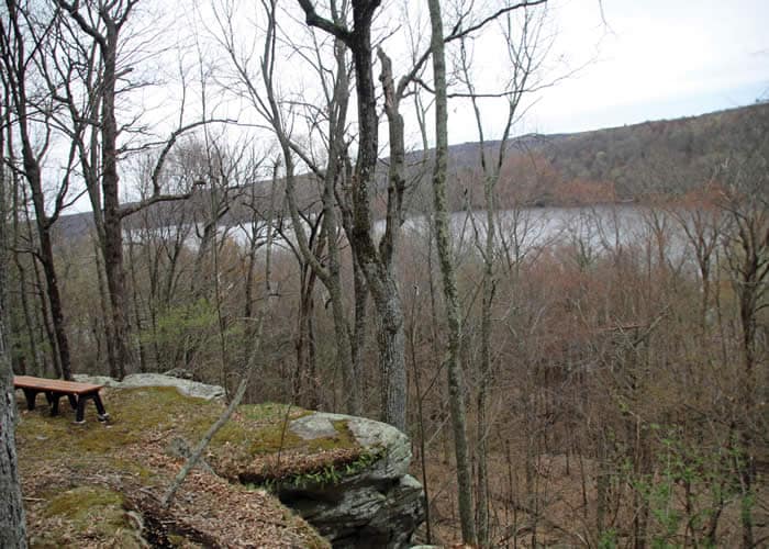
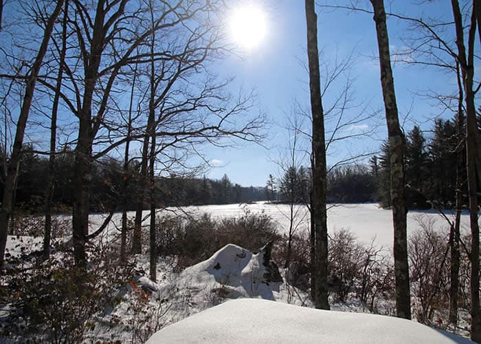
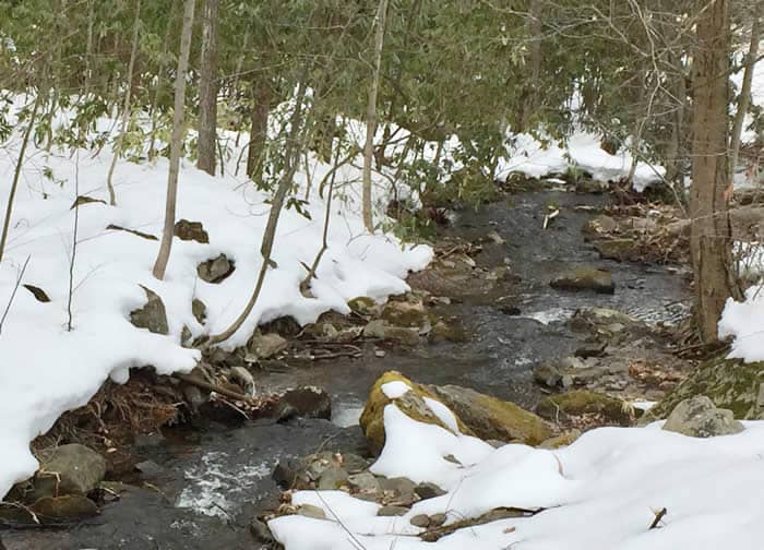
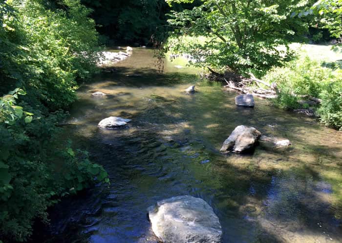
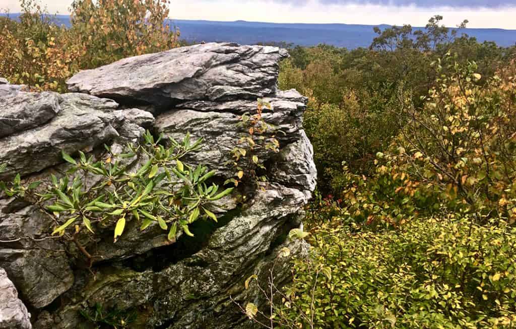
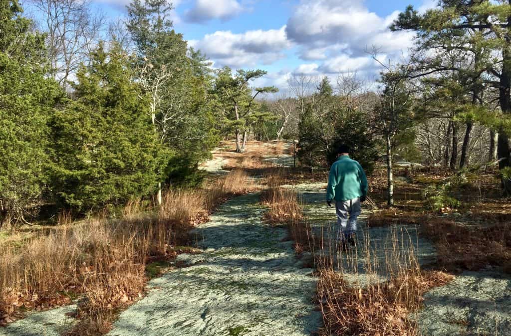
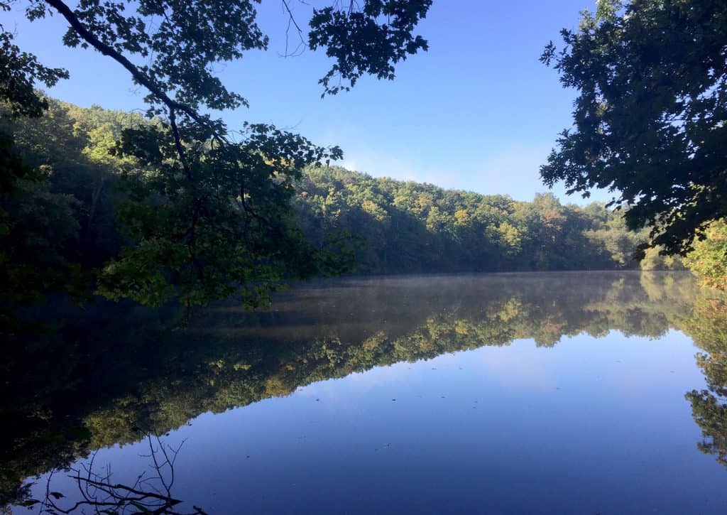
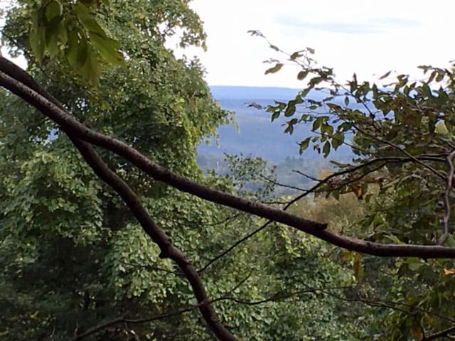
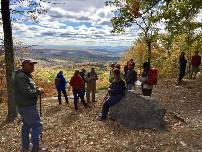
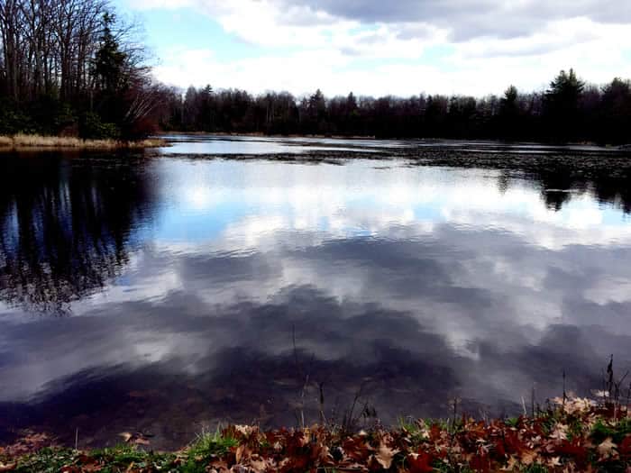
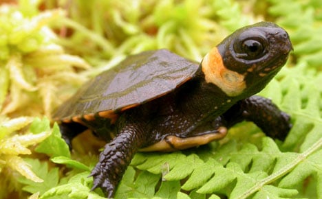
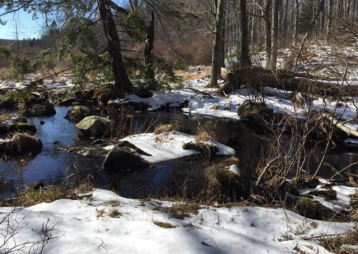
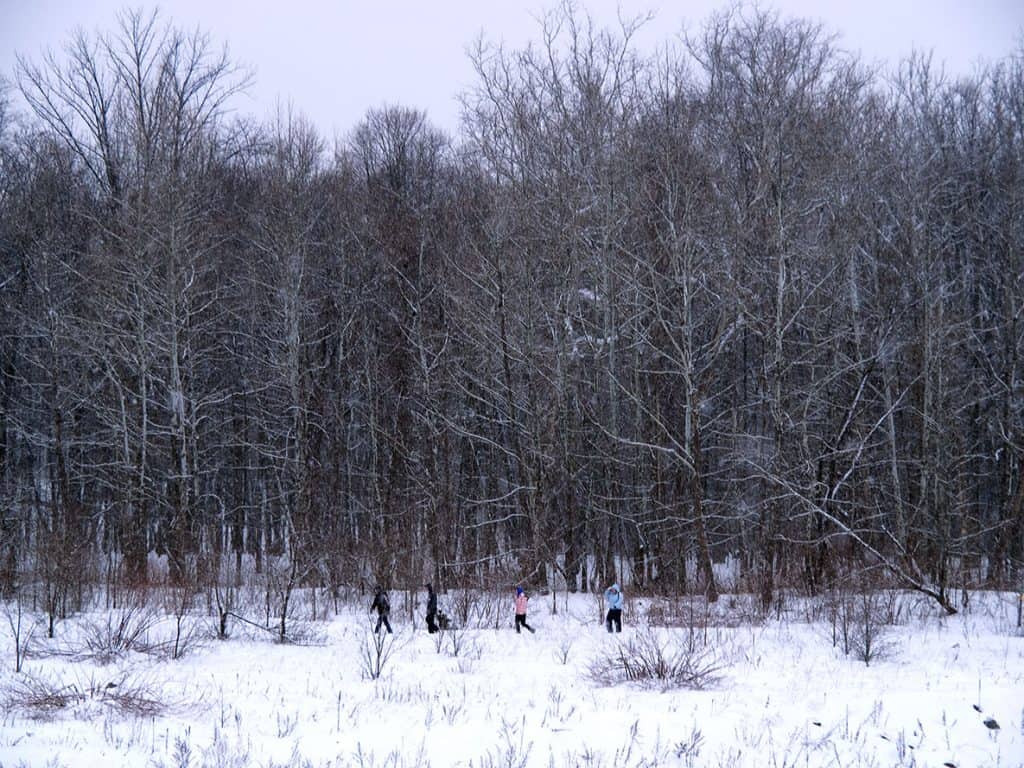
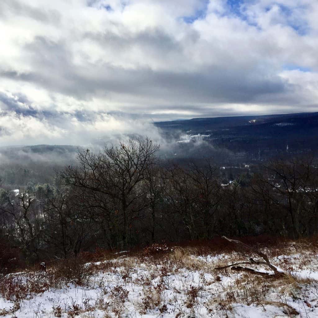
Waterfalls. Fishing holes. Places to paddle and wade. Driveable views and hikeable views. Even two short kayak routes. You’ll find something here for people of most abilities. One side of the map gives you an idea of where activities are, and the other lists corresponding addresses, GPS and descriptions, and indicates activities suitable for children and people who use wheelchairs. We even tell you where your well-behaved, leashed dog can go with you.
Even with the arrival of artificial indoor playscapes trying to mimic the outdoors, our area’s most precious real attractions are unchanged. Pine-scented air. Icy, fast-running creeks and streams that provide safe drinking water for ourselves, visitors and neighbors. Thousands of acres of deep forestland nourishing our atmosphere. Wetlands teeming with life. Places where the balance of nature rules.
Feeling inspired? Nature does that for people! Get your free copy of “Finding fun in the Brodhead Watershed” at libraries throughout the watershed.
UPCOMING
We continue to plan Get Outdoors Poconos hikes through 2021, although no in-person events will be held until further notice. This schedule is tentative. Check back for updates!
May 2021: Cranberry Creek “canyon falls”
June 2021: Marshall Falls with Smithfield Township Supervisor Brian Barrett
July 2021: Snorkel at Cherry Valley National Wildlife Refuge
August 2021: Ramble at Skytop
September 2021: Josie Porter Farm
October 2021: Ridge from Browns Hill to Ice Lake to Cresco Heights
November 2021: Rattlesnake Falls
Photography policy: Attendance at BWA programs and events constitutes consent to be photographed for use in print and electronic media. Images will not be identified using full names without written approval from the individual. Please notify BWA staff if you would prefer that your photo not be used.
HIKE BOOKLETS TO DOWNLOAD
Volumes 1 and 2 of our Get Outdoors Poconos compilation booklets are available to download. Click on the image to see and download the PDF documents – save them on your phone for easy access while hiking!
Paper copies are available at BWA’s office. BWA is happy to mail booklets to members. Email info@brodheadwatershed.org to arrange pickup or mailing.
Volume 1: Pinebrook Park, Paradise-Price Preserve, Cherry Creek Loop, Austin T. Blakeslee Preserve, West End Regional Park, Thunder Swamp, Silver Valley Natural Area, Pasold Farm Preserve, Childs Park, Snow Shanty Loop, Sherwood Forest Greenway, Long Swamp, Swiftwater Forest Preserve, Zimmer Preserve, Stairway Ridge, Shuman Point, Mount Wismer
Volume 2: Big Woods, Mount Nebo, Red Rock Loop, Thomas Darling Preserve, Bruce Lake Natural Area, Cherry Valley National Wildlife Refuge, Lacawac Sanctuary, Mount Wismer ‘from the top,’ Nothstein Preserve, West End Regional Park’s East End, Chestnut Mountain, Paradise-Price Preserve’s Waterfall Trail
More hikes are listed below in the hiker’s archives! A third volume is planned.
Hiker's archives
PARADISE-PRICE PRESERVE
Easy, 1-mile trail through woods, and then another trail leading to waterfalls. Protects Brodhead and Cranberry creeks.
thomas darling preserve
Footbridges, boardwalks, ancient marsh waters and glacier-carved landscape. Protects Two-mile Run and Tobyhanna Creek.
MOUNT NEBO
Secluded yet close to civilization; 159-acre park straddles a ridge between two creeks. Protects Marshalls Creek.
RED ROCK TRAIL
Manicured trails (4 miles of them) right off the road. Flora and fauna all year. Protects Forest Hills Run and Paradise Creek.
BIG WOODS NATURAL AREA
Fairly easy hiking, and popular with bikers and equestrians.
Protects McMichael Creek.
MINISINK PARK
28 acres left mostly natural. Easy trails. Protects Cherry and Brodhead creeks.
BROWNS HILL PRESERVE
Easy trail on old woods road. 20-foot rock cairn. Start of a public-land greenway. Protects Brodhead, Cranberry creeks.
ForEvergreen Nature Preserve
Mile loop that passes by an eagle nest. Protects Brodhead Creek.
DELAWARE STATE FOREST'S WARBLER HABITAT
Special site catering to the tiny cerulean warbler.
BIRDING AT CAMP WILLIAM PENN
Easy, wide and grassy trails. An excellent place to spot feathered friends. Protects Brodhead, Bushkill creeks.
SNOW HILL
An adventurous wander through natural history. Protects Stony Run, Brodhead Creek.
SILVER VALLEY
A network of trails along the beautiful McMichael. Protects McMichael Creek.
SNOW SHANTY LOOP
Family-friendly outing. Protects Snow Shanty Run and Wallenpaupack Creek.
MOUNT WISMER 'FROM THE TOP'
An easier way to get to the top of Mount Wismer for the beautiful view.
WEST END REGIONAL PARK'S EAST END
A 2-mile challenge for hikers and bikers. Protects McMichael Creek.
NOTHSTEIN PRESERVE
150 acres to explore: Cranberry Creek crossing, old stone quarry and a gorge. Protects Cranberry Creek in Paradise watershed.
CHERRY VALLEY WILDLIFE REFUGE
193 acres of forested preserve featuring Cherry Creek and two walking loops. Protects Cherry Creek.
BRUCE LAKE NATURAL AREA
An 8-mile trail network featuring wildlife and two lakes. Protects Egypt Creek and Lackawaxen River.
GRAVEL FAMILY NATURE PRESERVE
Blueberry fields and a creek in the shadow of Mount Wismer. Protects Brodhead Creek headwaters.
CHERRY VALLEY REFUGE REVISITED
A year later, see how former golf course has rejoined its place in nature. Protects Cherry Creek.
pasold farm REVISITED
Elephant-sized boulders and a picturesque farm spring. Protects Brodhead Creek.
CHERRY VALLEY SCAVENGER HUNT
Family fun searching for habitats. Cherry Valley National Wildlife Refuge protects Cherry Creek.
PARADISE DISCOVERY PARK
A natural place to play and hike for the whole family. Protects Cranberry Creek.
SWIFTWATER FOREST PRESERVE
Explore the old woods. Protects Swiftwater Creek and Forest Hills Run.
SHUMAN POINT NATURAL AREA
An oasis along Lake Wallenpaupack. Protects Wallenpaupack Creek.
CHESTNUT MOUNTAIN NATURE PRESERVE
Scenic views, glacier-deposited boulders. Protects Buck Hill Creek.
PARADISE-PRICE PRESERVE TO THE WATERFALLS
A challenging hike of about 5 miles toward the falls on Brodhead Creek. Protects Paradise and Brodhead creeks.
CHERRY VALLEY RIDGE TRAIL
Views of Cherry Valley, abundant wildlife, a rock pool that is the headwaters of Cherry Creek. Protects Cherry Creek.
VAN BUSKIRK PRESERVE
A 2-mile, strenuous loop hike on and off trail. Protects Cranberry Creek in the Paradise watershed.
CHESTNUT MOUNTAIN REVISITED
Long views of beautiful foliage. Enormous glacier-dropped boulders. Protects Buck Hill Creek.
SPRUCE MOUNTAIN
Waterfalls and a stunning view. Protects Middle Branch and Brodhead creeks.
PRESERVED PRIVATE LANDS
Price property
Preserved in perpetuity.
Protects headwaters of Brodhead Creek.
To read more about the natural wonders of this property and how it’s been preserved, click here.
TIMBER HILL FARM
A family farm preserved in Paradise Township. Protects Forest Hills Run.
Read about how a conservation easement can make a difference: click here.
EAGLES REST FARM
A family farm that produces Christmas trees and wine will be preserved for perpetuity in Cherry Valley. Read about how a conservation easement can make a difference: click here.
Protects Cherry Creek.
FOR THE BIRDS
As we hike through the Poconos, let’s give a thought to the imperiled golden-winged warbler and a nod to the landowners who make a point to provide habitat.
THE DRY DAM
Learn what a dry dam in northern Monroe County does to protect the Brodhead watershed.
MAKING CONNECTIONS: TRAILBLAZERS
IN MONROE
With trails scattered throughout the county, many would-be walkers don’t know where to start.
What if existing trails could be linked, with access and parking at clearly marked trailheads in every township? More — what if our trail system could be linked to networks of trails beyond? What if you could bike, say, from Delaware Water Gap to the Portland footbridge — even all the way to the Statue of Liberty?
That’s not a pipe dream. Read more about the trail plans here.
Bartolacci land
Bart Bartolacci reveals the reasons why he preserved his Price Township property.
FORESTS AT BUCK HILL
Why Buck Hill Conservation Foundation takes forests so seriously.
INDOOR ADVENTURE: ESU'S SCHISLER MUSEUM
In the span of an hour at the Schisler Museum at East Stroudsburg University, visitors can tour the Frozen North, a Boreal Forest, Canyon Country, the Verdant East, and the African Bush.
TURTLE HABITAT IN CHERRY VALLEY
Private, protected land that protects colonies of the rare bog turtle.
HOW A COMMUNITY CHANGED CHERRY VALLEY
Years of dedication created a refuge that protects wildlife as well as Cherry Creek headwaters.
WINTER HIKES
Pennsylvania protects its outdoor heritage with state parks, state forests, and game lands. What luck to have all of these nearby!
Click here for photos and a feature about winter hikes in the Poconos.
SNOW STORIES
Snow tells tales of life, death and our changing climate.
OTHER RESOURCES
Tannersville Cranberry Bog Trail Map
The Trails at
Kettle Creek Wildlife Sanctuary (managed by Monroe County Conservation District)