
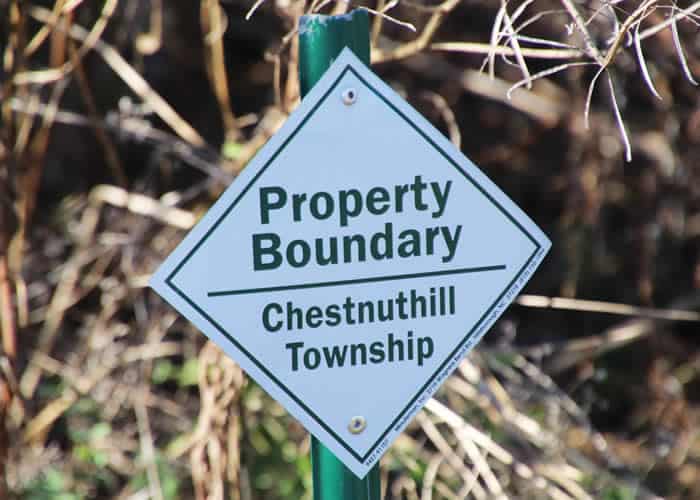
Where: In Monroe County, Pa., in Chestnuthill Township. Part of this area is private land and not open to public. Adjacent public land – known as the Silver Valley Road Property – offers 109 acres for everyone to explore.
From Route 209 near Meadow Brook Diner in Brodheadsville, go north on Silver Valley Road for three-tenths of a mile. Park in the gravel turnout on the left . Cross the road and go around the metal gate to follow jeep trail down to the creek. Cross the bridge to access Silver Valley Road Property.
GPS coordinates:
Parking space with access to Silver Valley section: 40.929025, -75.379180
Trail information: Difficulty and distance depend on trail taken within network of trails, but can be wet and rocky. Boardwalks cover swampy spots.
Not handicapped-accessible.

High on Pocono Plateau, rainwater and snowmelt are captured and held in spongy swamps and bogs. As the water bubbles free at the steep edge of the plateau, it creates cold, fast-flowing creeks — among them Hypsy, Bowers and Fall creeks. Tumbling downhill through mixed hardwood forest, the three creeks meet near Hypsy Gap Road and Route 715 in Chestnuthill Township. And McMichael Creek is born.
Where the McMichael begins stands a three-story historic building, once a hotel and stagecoach stop. A group of avid flyfishers who regularly stayed at the hotel, decided one day in 1894 to establish themselves as the Pohoqualine Fish Association, and later bought the building. That’s where I’m headed, to meet Ben Turpin, stream manager for PFA.
 Ben says that, like other fishing clubs in the Poconos, members of Pohoqualine (the name means “river between two mountains”) are committed to protecting the cold, pure water that trout need to survive and thrive. That’s why PFA has privately protected the land along a 12-mile stretch of McMichael Creek with a permanent agreement held by Pocono Heritage Land Trust. Ben leaves me at the trailhead, and I head downstream.
It’s a cool, late-fall day and the air is full of murmuring, gurgling sounds of water. There is still plenty to see, as well: As I admire mats of watercress and forget-me-not, a great blue heron flies by — all legs and deep wingbeats, its ancient reptilian eyes on a level with mine. Hard to say which of us was more surprised.
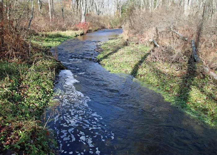
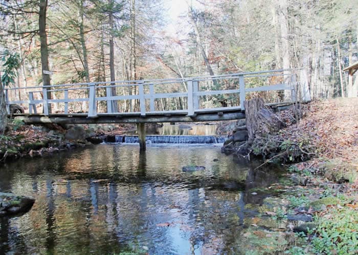
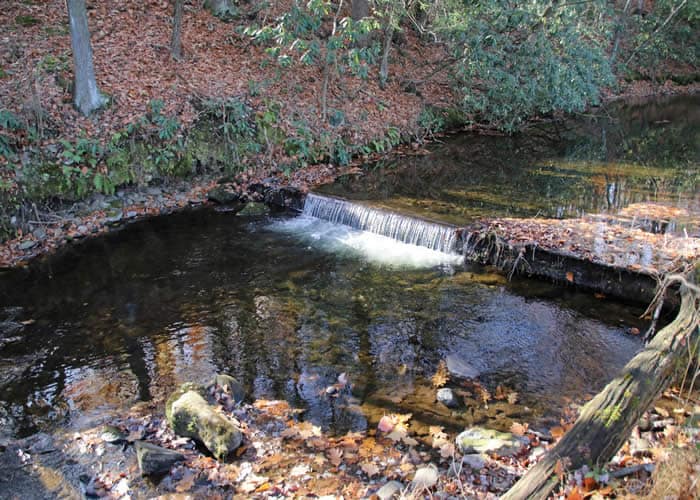
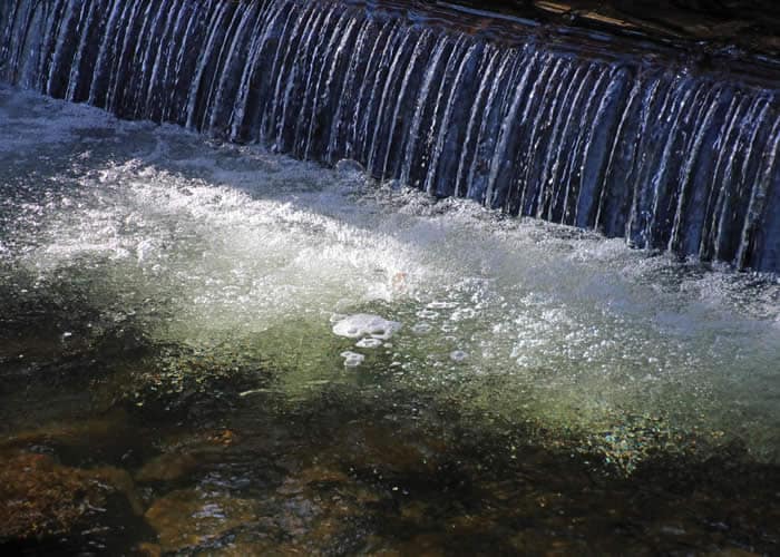
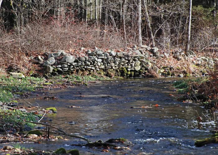
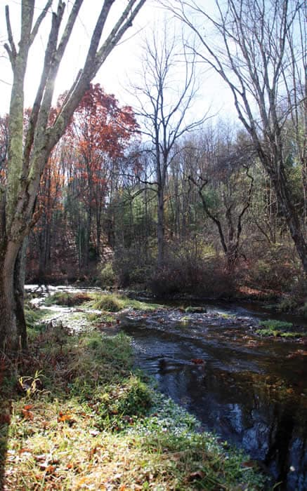
The trail is open, easy for the first half mile, and hugs the creek. The water is shallow after months of drought, but moss-covered rocks, duck weed and sphagnum moss abound. Several low dams along the way are made of logs and concrete. They create waterfalls that pump oxygen into the creek and form deep pools that trout love, shaded and cooled by rhododendrons and hemlocks. Where the bank overhangs the creek, the fish zip and coast and hover – flickering shapes of sunlight and cold water.
Moving away from the creek, the trail is hemmed in by tall dry goldenrod, Joe Pye weed, and winterberry, a deciduous holly with glossy red berries. A bright yellow American chestnut sapling is the last gasp of autumn — bittersweet vines and thick, gnarly fox grapes, young beech trees and old birches look ready for winter.
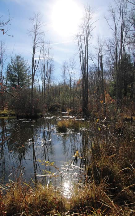
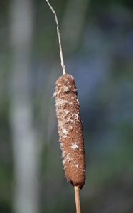
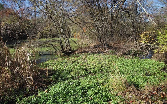
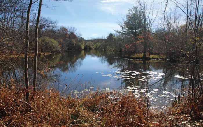
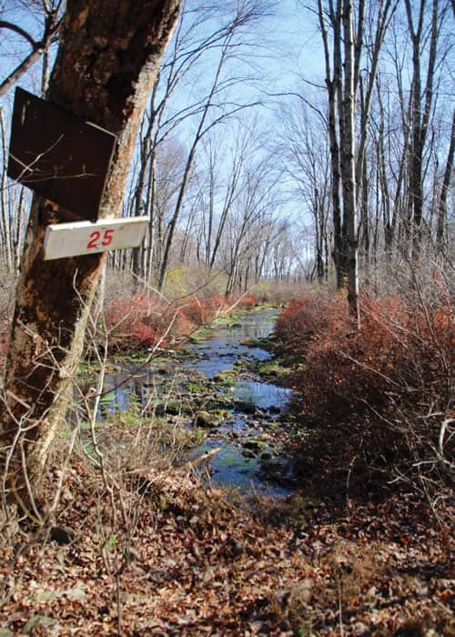
After climbing up and over a paved road, the trail narrows and skirts a beaver pond with waterlily pads, cattails and marshy ground. The footing takes more attention, gets rockier, and wet areas are bridged by low boardwalks. I’ve covered only a little more than a mile of McMichael Creek’s 19-mile course, but with the return trip to make, that’s enough for this day.
The water that arose on the Pocono Plateau and bubbled free from the Pocono escarpment continues from here to Stroudsburg, where it joins Brodhead Creek — on its way to the Delaware, Philadelphia, Cape May and the Atlantic Ocean. Protecting the land along the creek protects the water in the creek, keeping it pure and healthy for trout … and providing memories enough to occupy a hiker’s thoughts until spring.
Carol Hillestad is a hike leader and writer for Get Outdoors Poconos, a grant-funded series administered by Brodhead Watershed Association.