
GLEN RUN

IF YOU GO
Where: 750 Bangor Mountain Road, Stroudsburg, Pa. Take Route 191 south through Stroudsburg. Entrance to Glen Run Nature Preserve is on the left, just past Stroudsmoor.
GPS coordinates: 40.96963, -75.19133
Trail information: Trail is 2.5 miles round trip. Rocky in some places, with steep sections.
KNOW BEFORE YOU GO:
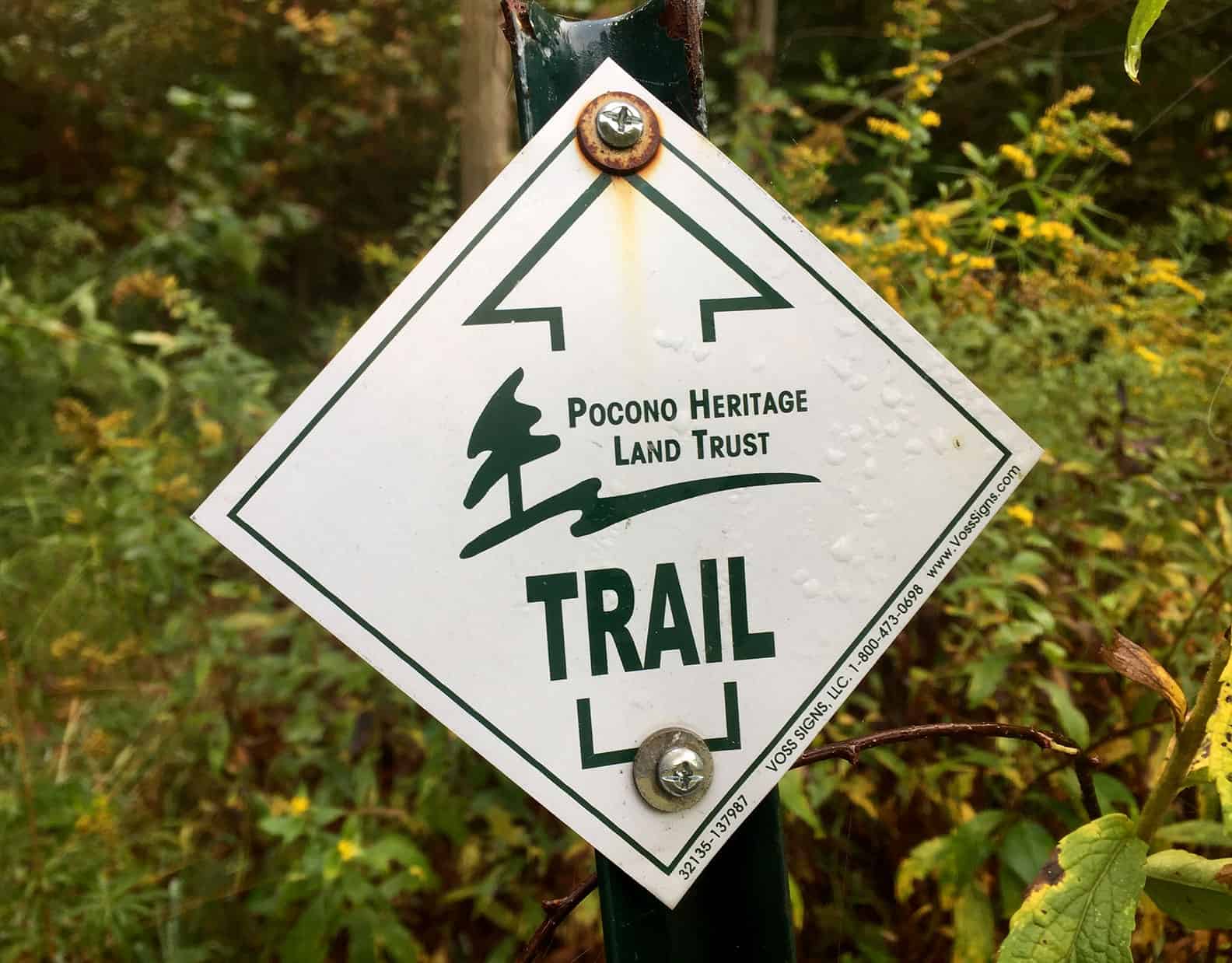
- Thanks to Pocono Heritage Land Trust for protecting this land for public hiking, biking, and being in nature, with funding from ESSA Bank & Trust Foundation, Pennsylvania Department of Conservation and Natural Resources, Monroe County Open Space Bond, and Stroud Township. Thanks also to Pocono Bike Club for assisting with trail maintenance.
- Ample parking.
- No restrooms or trash cans. Pack out what you pack in.
- Boots and hiking stick recommended.
- Hunting is not permitted. Fishing in special regulation waters with valid license. Artificial lure catch-and-release only.

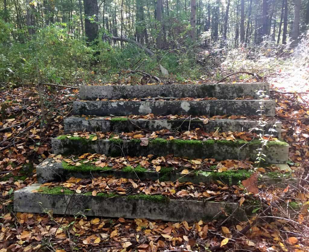
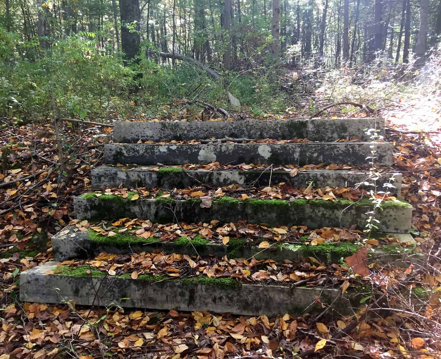
Pocono Heritage Land Trust Executive Director Louise Troutman leads the search for signs of the past, including stone steps from a former inn.
Hiking, biking in Stroudsburg's backyard
By Carol Hillestad
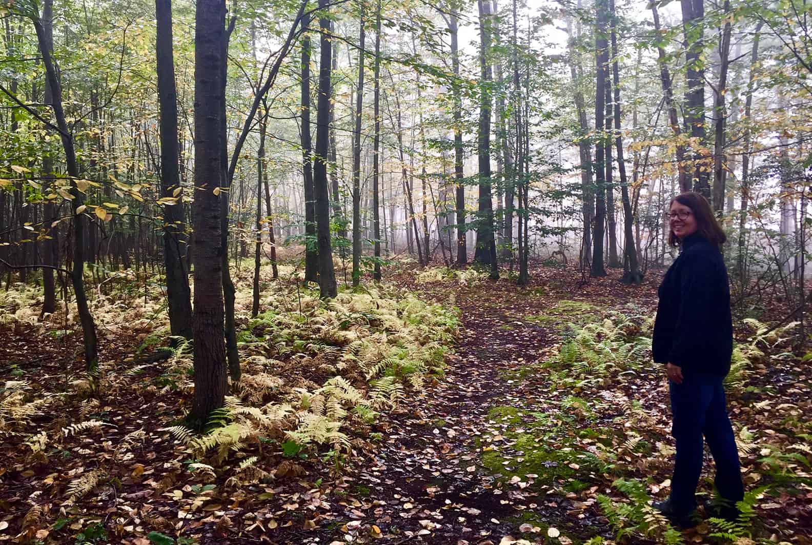
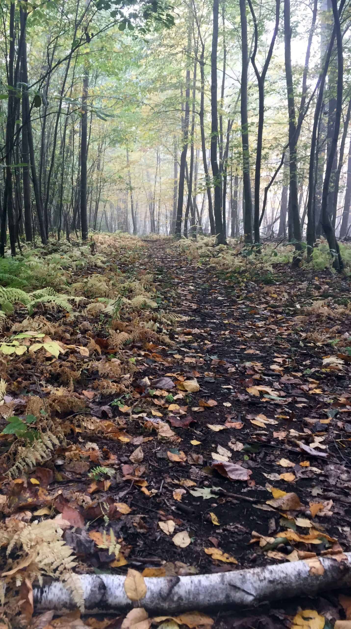
It’s a cool morning in early fall. Under a pale sun, wisps of fog still wreath the trees as I pull into the trailhead at Glen Run Nature Preserve, just over Godfrey’s Ridge south of Stroudsburg.
I’m meeting Louise Troutman, executive director of Pocono Heritage Land Trust. The land trust, the owner and steward of this place, protects 4,300 acres of sensitive, important lands in Monroe County.
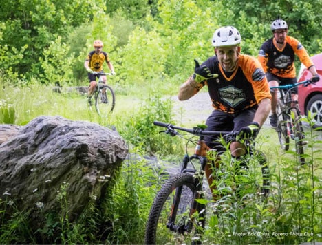
As we leave the trailhead and start steeply uphill, Louise talks about the 182-acre preserve, purchased in 2015. “We have about four miles of trails here,” she says, “thanks to lots of help from Pocono Bike Club. They laid out switchback trails that are fun to ride up and down the ridges, and they help us mow and maintain them.”
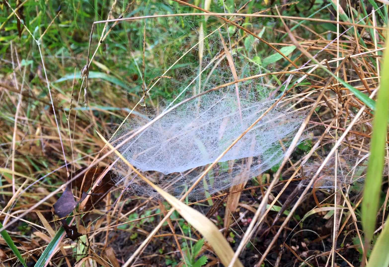
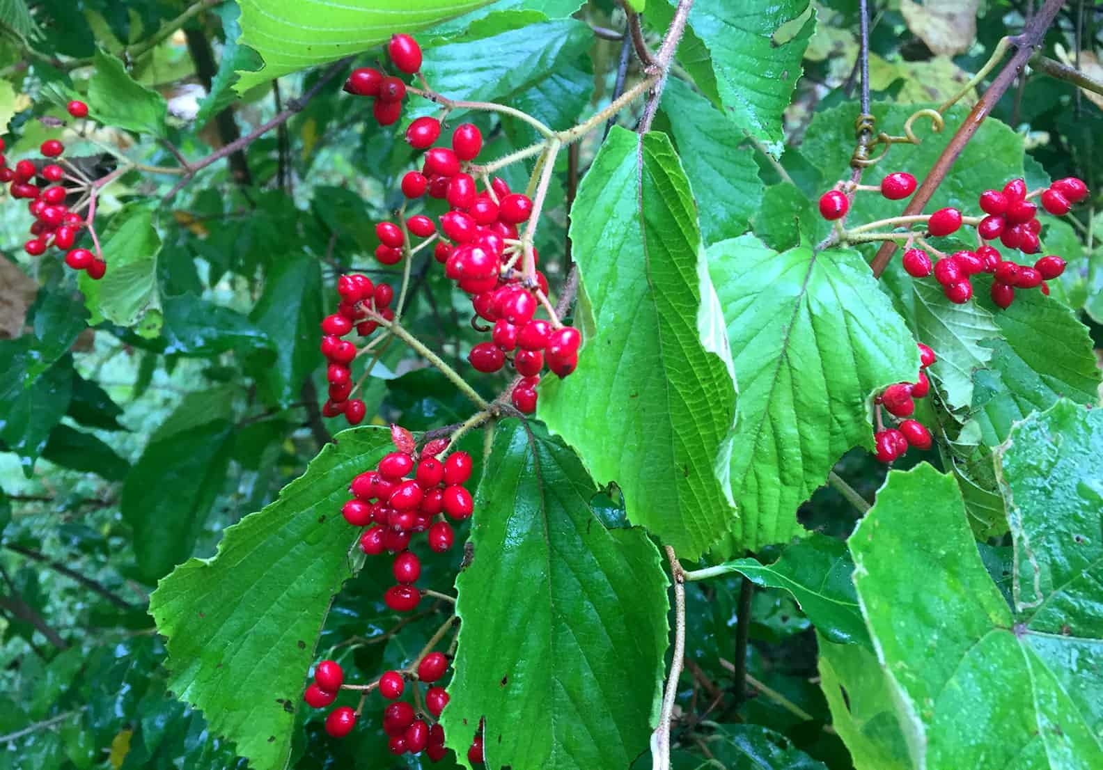
Goldenrod, late daisies, and wood asters bloom along the trail against a backdrop of hickory and other deciduous hardwoods. A dewy spider web decorates a viburnum still bright with red berries. Plenty of invasives grow here, too, including barberry and cat briar, garlic mustard and stilt grass.
After a vigorous climb, we reach a T-intersection in a clearing ringed with weedy mounds — relics of materials stockpiled for a housing development that had been planned here. We take the mountain bike trail that heads south, and soon we are skirting the edge of a forested cliff that drops away sharply. Through the trees, we can see Cherry Valley far below, and around to the east is a glimpse of Delaware Water Gap. Across the valley are Kittatinny Ridge, a nationally important flyway for migrating birds, and the Appalachian Trail. Leaves obscure the views, and Louise talks of plans to create an open, four-season overlook.
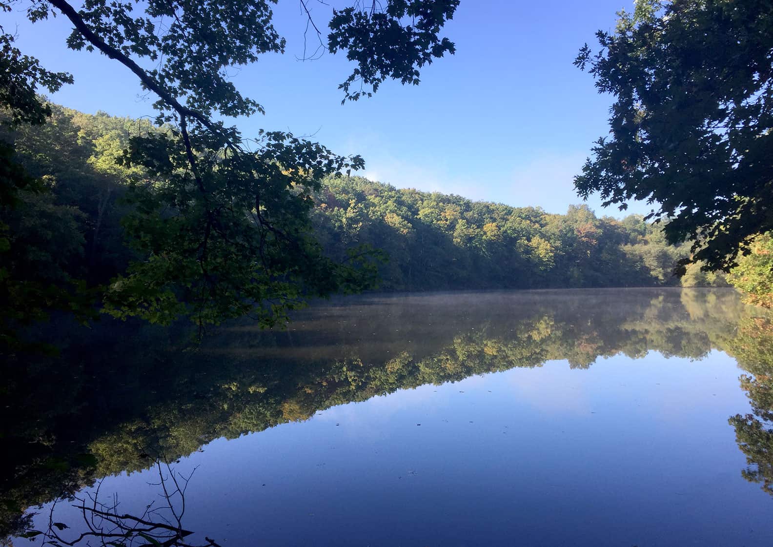
Swinging back onto the trail, we follow the bikers’ switchbacks down to a small manmade lake. Nestled in a hollow between the southern ridge we just left and the northern one in front of us, water from this lake flows directly to Brodhead Creek. Keeping this land wooded and free of impervious surfaces lets rain and snowmelt infiltrate naturally, keeping water pure and safe in the Brodhead, Cherry, and MicMichael creeks, on their way to the mighty Delaware River. Thousands of people locally and millions more downstream get their drinking water from these sources.
Louise has surprises in store. Just ahead, at the top of the northern ridge, the trail widens into a woods road. This once led to Churleigh Hall, she says, the late-Victorian summer home of eccentric businessman Samuel Collins, complete with turrets, porches and towers.
Whether Collins was a visionary or a conman is still debated, though the number of lawsuits brought against him is suggestive. As his fortunes changed, the mansion was sold, and operated for a while as Churleigh Inn. All that remains today of the building, its stables, and hanging garden are imposing stone steps and an overgrown swimming pool — and a wonderful view over Stroudsburg. Louise says that an overlook is planned here, too.
Feeling a little like time travelers, we make our way back to the trailhead, wondering how to describe this place. Local historical site … fun mountain bike course … drinking water safeguard … community trail network … scenic viewpoint? Come on along and decide for yourself.
Carol Hillestad is a hike leader and writer for Get Outdoors Poconos, a grant-funded series administered by Brodhead Watershed Association.
Comments from other hikers:
Be the first to add your comment for this hike.