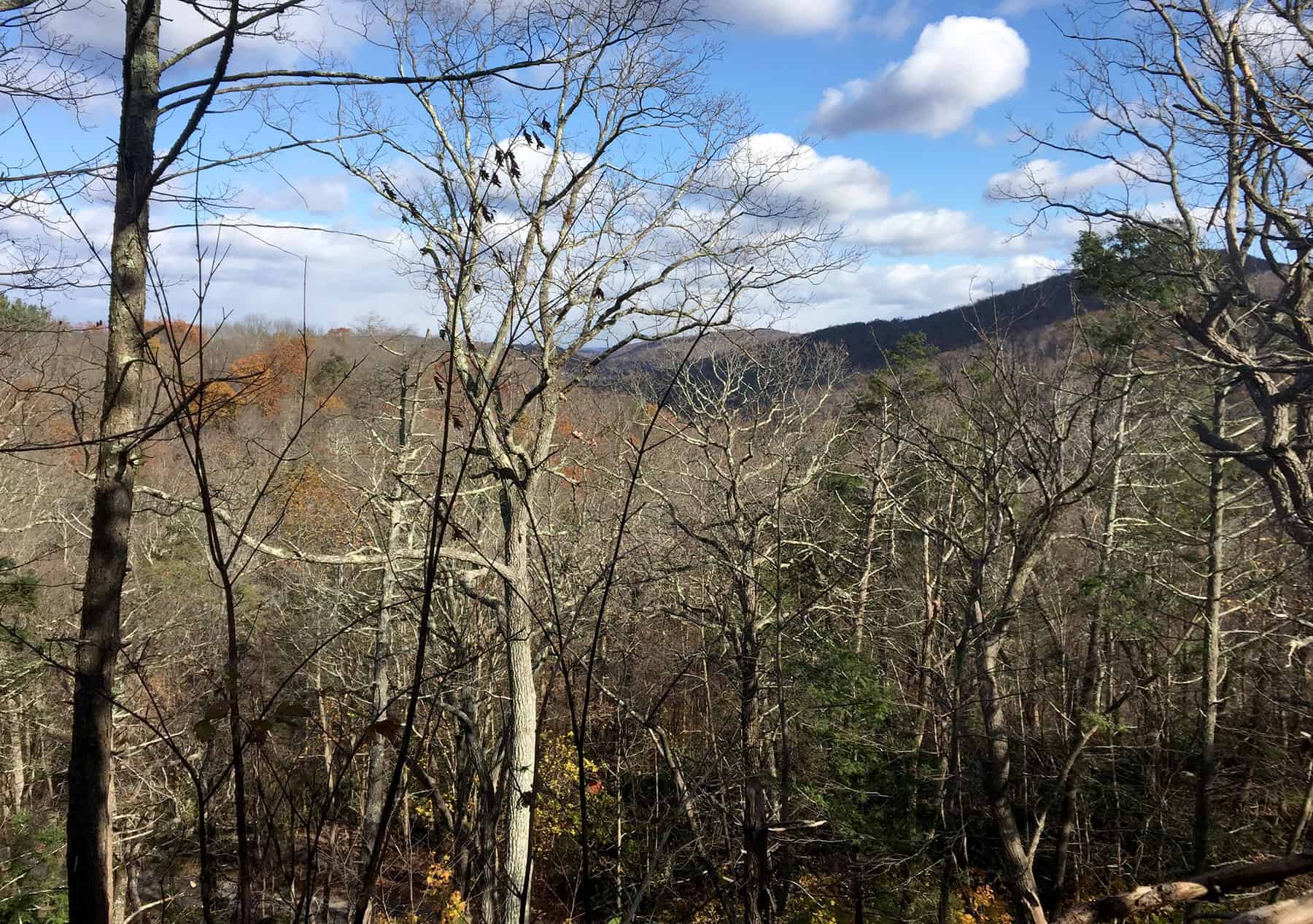
On this cold and blowy November morning, the golden sunlight slants low, burnishing drifts of fallen oak leaves. The first flurries sparkle in the air. Leafless trees reveal views in all directions, including Delaware Water Gap, framed by a fine tracery of bare twigs and branches.
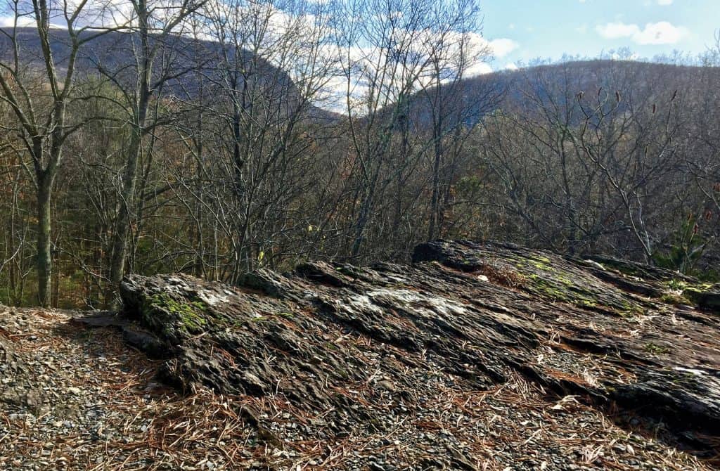
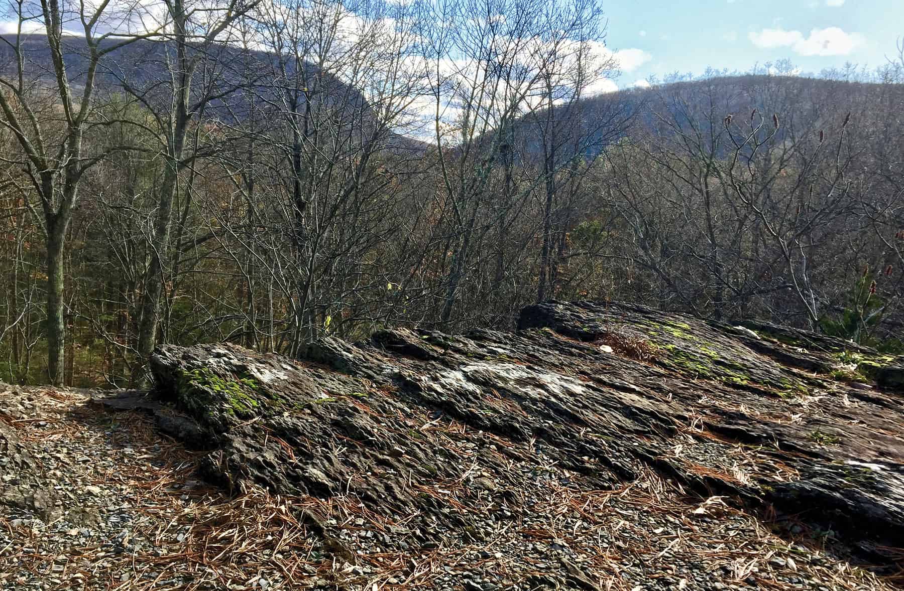
I’m standing with nature educator Pete Steele on Table Rock, a formation of red sandstone about 420 million years old. And the view we’re interested in at the moment is right underneath our feet.
We’re looking for striations — the straight, parallel grooves caused by rock fragments lodged in the base of a glacier. As the mountain of ice moved, hard fragments trapped by its monstrous weight would gouge the bedrock below. The striations at Table Rock have fascinated naturalists since the 1800s.
At 70 feet long and 6 inches wide, the striations documented here are the longest in Pennsylvania. We thought grooves like that would be easy to spot. We crisscrossed the flat, lichen-covered rock. We compared compass directions with a naturalist’s detailed descriptions written in 1884. We wondered why the heck we couldn’t see what had to be right under our noses.
And then, like an optical illusion that suddenly shifts, there they were.
Long, straight, parallel lines revealed by little bluestem, a native grass, growing in the striations. The grooves had filled with leaf litter, debris and soil, becoming natural planters where windblown seeds took root.
As the light changed, one striation snapped into relief. We weren’t crazy. We were seeing evidence of the last glacier to shape our part of the world, 10,000 years ago, just a moment on geology’s clock.
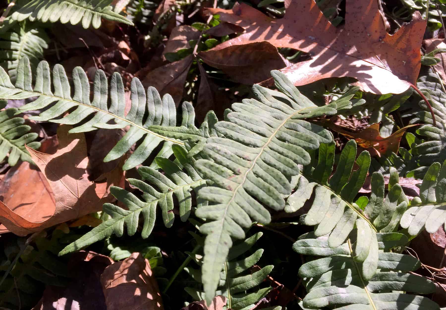
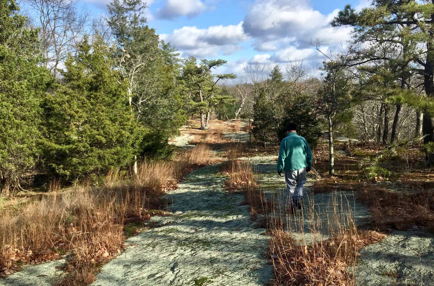
There is a lot more to see at Table Rock — sturdy red cedars with their blue berries beloved by birds, craggy pitch pines and reindeer moss, evergreen Christmas fern and common polypody fern. And of course, the views.
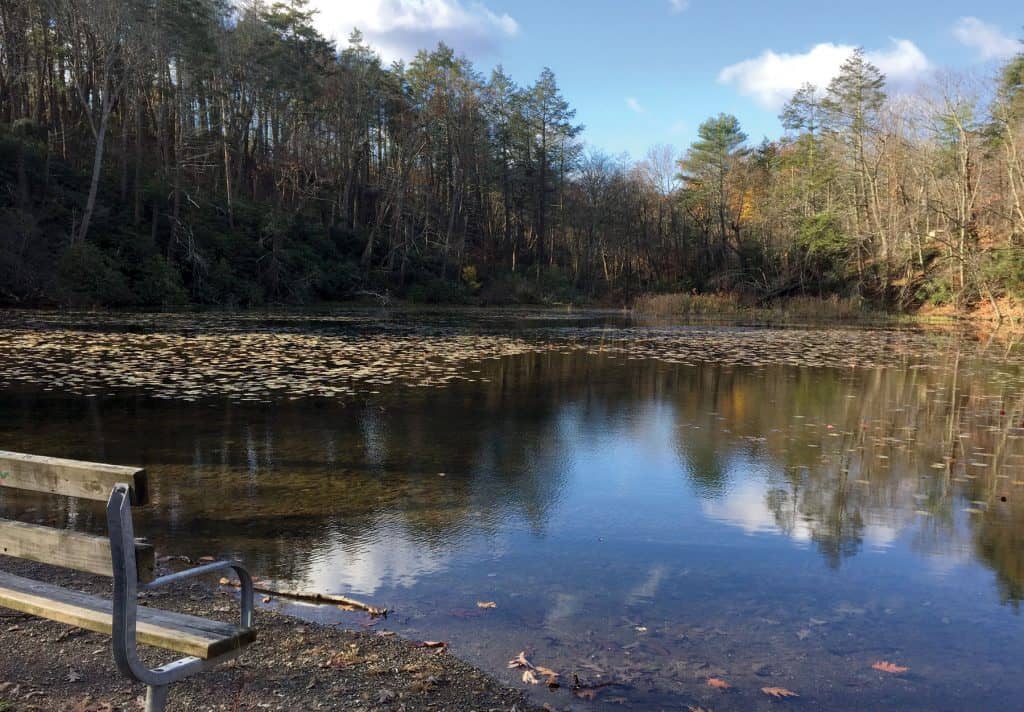
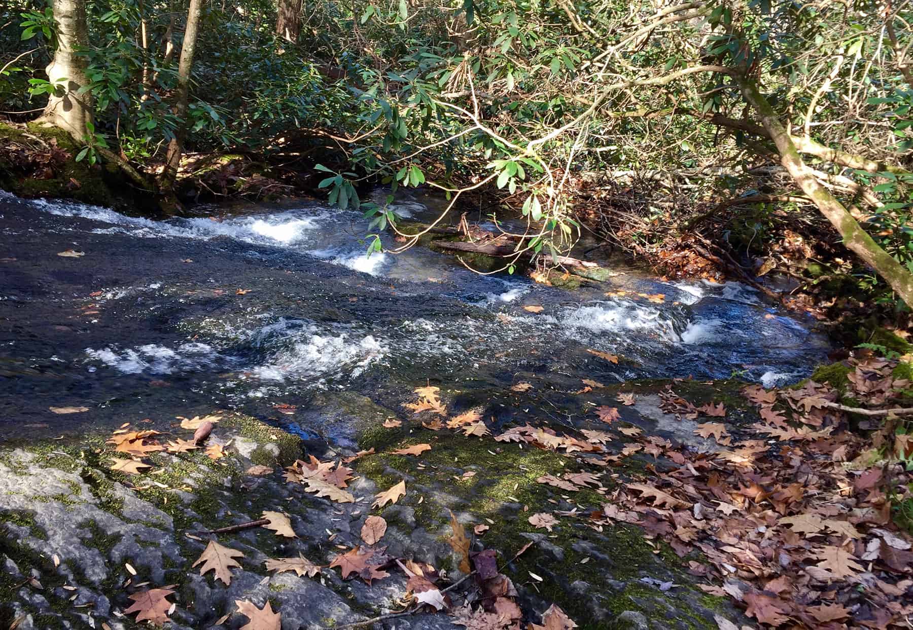
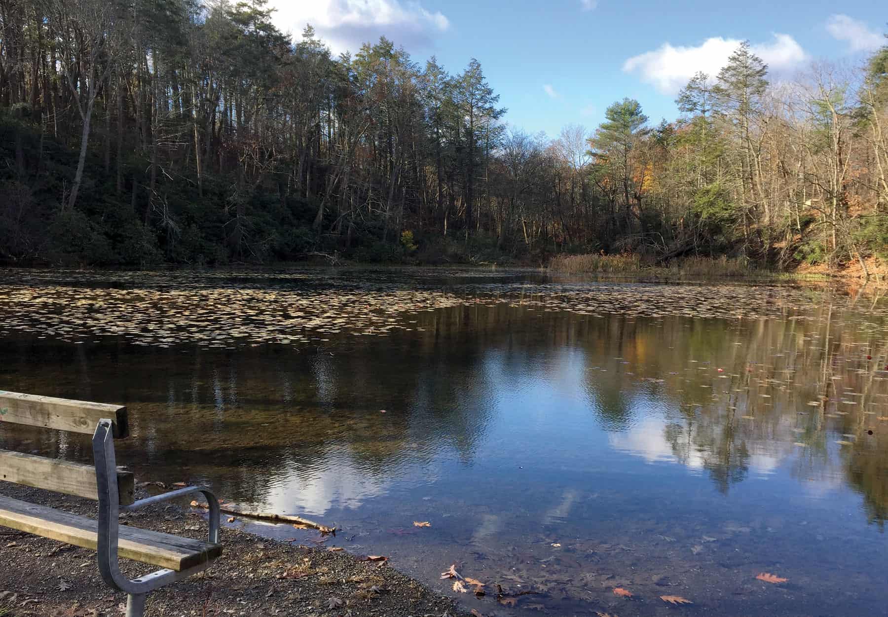
On the way here, we’ve already passed peaceful Lake Lenape along the wide open trail. A couple miles ahead on that route is a high viewpoint on Mount Minsi, but we had sheared off to the west, circling the base of Table Rock. We’d passed a mossy slide waterfall, one of many falls along the clear, cold Caledonia Creek. Pete told tales of “catamount or mountain lion, cougar, puma, panther” that still roamed here in the 1850s.
Now, ready to head back to the trailhead, we take an unblazed path along the ridge, enjoying views to the east and north. We can hear Route 80, then see where it crosses the broad expanse of the Delaware River. You may have crossed that bridge after a heavy spring rain and seen a cascade tumbling out of the forest on the Pennsylvania side. That’s Caledonia Creek taking its last headlong plunge down to the Delaware.
The path zigzags downhill. On the far side of a beautiful rhododendron tunnel, we’re standing at the end of Lake Lenape, in view of the parking area where we’d started.
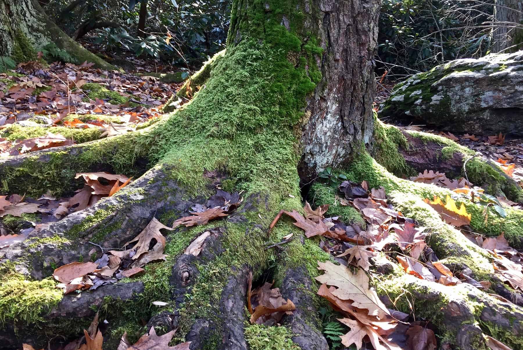
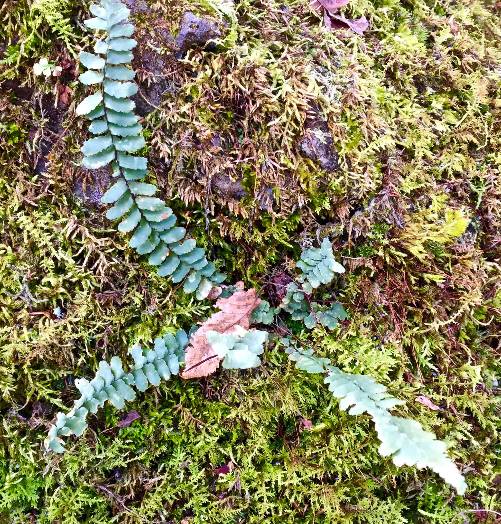
Pete points to a small fern growing from a mossy boulder. “Ebony spleenwort,” he says. From ancient rock to this delicate fern, itself a relic of millions of years ago, it’s been quite a day.
Carol Hillestad of Cresco is a writer and hike leader for Get Outdoors Poconos, a free hike series administered by Brodhead Watershed Association.

