
Where: In Pike County, Pa., take Route 6 to Route 590 West. Follow Route 590 West for about 2.5 miles. The parking lot for Shuman Point Natural Area is on your left, about 100 yards past Crazy Fingers Restaurant, Lakeville.
GPS coordinates:
Parking lot: N41 27.031 W75 12.306
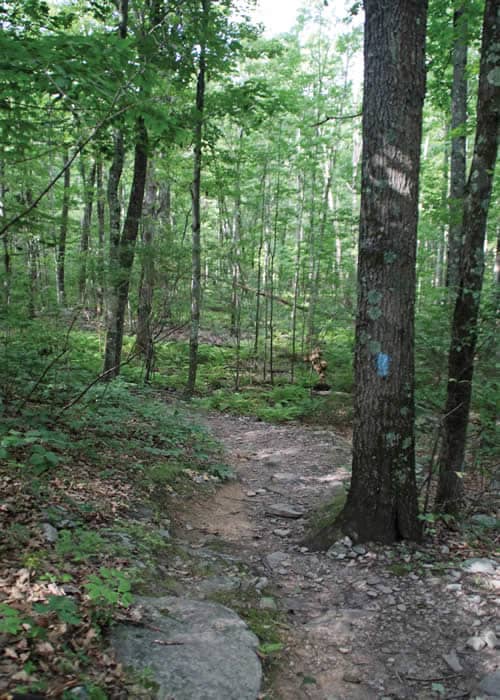
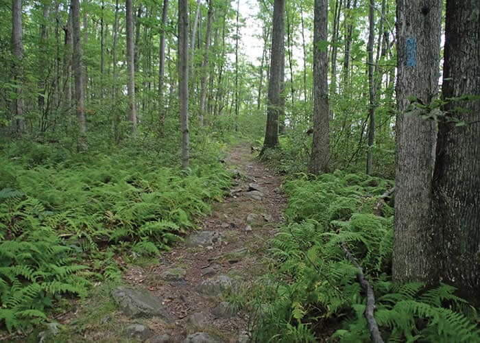
Trail information: A blue-blazed 3-mile trail of moderate difficulty. Steep and wet in places.

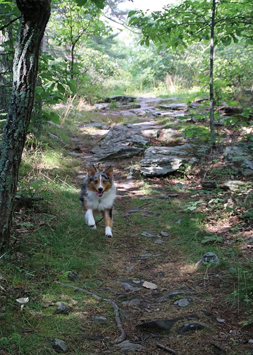
It was still early when I pulled into the parking area at Shuman Point Natural Area, on Lake Wallenpaupack near Hawley, PA, in Pike County. But I wasn’t alone. A cheerful border collie came bounding toward me and herded me toward his companion, a vigorous woman who said she walks here most days. Taking her recommendation, I headed out from the east side of the parking area. This would lead counter-clockwise around the preserve, she said, and “get the steepest part of the walk out of the way first.”
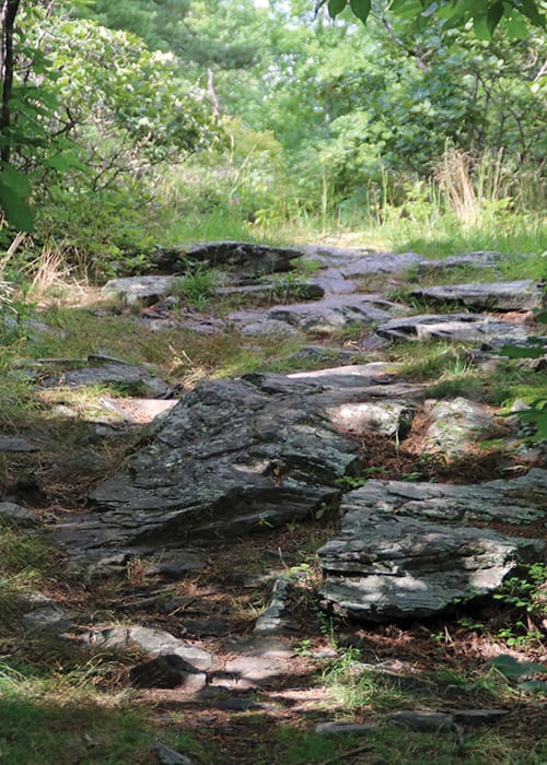
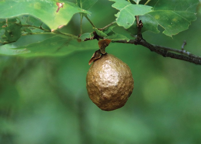
It was indeed a steep start, with a stretch of rocky footing that led through stands of chestnut oak and low-bush blueberries to a small open flatland at the top. There was a big white pine ahead, ghostly reindeer moss underfoot, and, in the air, a mixture of road noise from Route 590 below and a breeze rustling in the scrub oak.
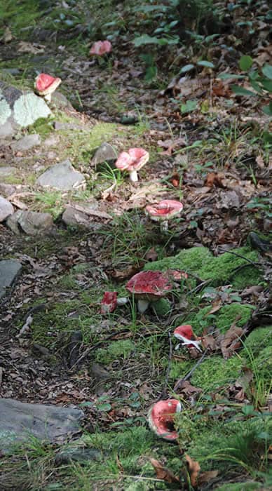
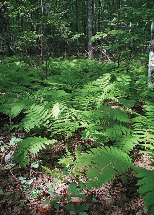
 From here, the blue-blazed trail dropped steeply downhill, passing massive, lichen-covered boulders left behind by the most recent glacier, 12,000 years ago. At the lower elevation, it was wetter and cooler, and neon-hued fungus glowed among the leaf litter. The trail became squishy in places, with seeps and moss, and an abundance of hay-scented, ostrich, and interrupted ferns.
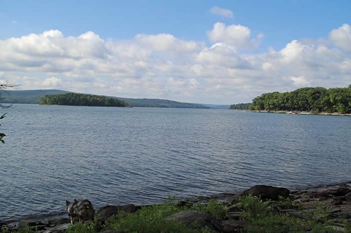
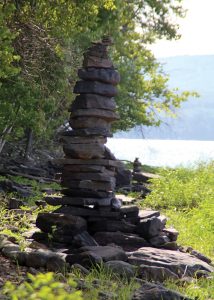
By now, glimpses of the lake gleamed through the trees, and side spurs led to its rocky shore. Skipping a few stones, I saw mallards, a great blue heron, and evidence of humans, too — tall, elaborate rock totems clustered like people at a party.
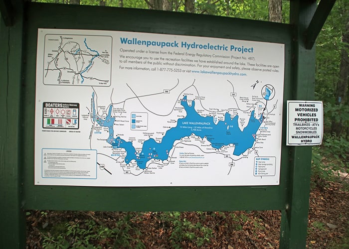
In fact, the very existence of the lake is “evidence of humans.” Before it was a lake, Wallenpaupack was a creek — “the stream of swift and slow water” in the language of the Lenni Lenape. To provide hydroelectric power, erosion control and recreation, Pennsylvania Power & Light Co. dammed the creek in 1926, forming the third largest lake in Pennsylvania. Thirteen miles of the creek itself, along with the original town of Wilsonville, lie buried under the lake.
The water here, where people fish, sail, and build totems, flows to the Lackawaxen, well-known as a winter haunt of eagles, and then to the Delaware River. The majestic Delaware flows to the Delaware Bay, where its waters pour into the Atlantic Ocean near Cape May. The land drained by the Delaware is home to 7.3 million people — and provides drinking water for two times that number. Conserving land such as Shuman Point protects drinking water for many.
Looping back toward the parking area, the trail continues in sight of the lake most of the time, passing stone-wall reminders that this land was once farmed. The 300 acres of the preserve form one of the last undeveloped areas on the lake, and the 3-mile trail is well used — I’ve met more than a dozen people this morning, out with their kids and dogs. One passing hiker volunteered that she was here from Virginia for a family reunion: “18 people in one house. I love them but, really, I needed to get outside!”
We all need that — the power of nature to heal, soothe, and cheer the human spirit is a gift free for the taking. When you feel the need for that kind of nourishment, Shuman Point Natural Area delivers.
Carol Hillestad is a hike leader and writer for Get Outdoors Poconos, a grant-funded series administered by Brodhead Watershed Association.