
Where: Trailhead is on the east side of Route 191 in Barrett Township, marked by a sign and kiosk. From Mountainhome, Pa., where Routes 191/390 split near Mountainhome Diner, take 191 north for 4.3 miles. Trailhead is on right. The gate is generally locked, but several cars can be parked along Route 191.
GPS coordinates: 41.211407, -75.307811
Trail information: 1,900 feet above sea level. Blue-blazed trail leads into the woods, becoming rocky and wet at times.
When I broke my hand recently, the worst news from the docs was, “No, you can’t walk in the woods right now.”
But an autumn hike at Chestnut Mountain was on the calendar. People were already asking to sign up! The foliage-filled views would be grand!
At 1,900 feet above sea level, Chestnut Mountain is one of Monroe County’s jewels of conserved land, open to the public. It is part of the miles-long Pocono escarpment — that massive procession of folded rock bluffs that marches southwest to northeast across the county.
 Starting in the West End, near Hypsy Gap, familiar landmarks punctuate the escarpment’s rocky heights — Camelback, Pocono Manor, the Knob in Mount Pocono, Cresco Heights. Then Chestnut Mountain, Spruce Mountain, Mount Wismer, and Skytop’s West Mountain.
Water from rain and snowmelt seeps deep into the earth on the Pocono Plateau, then emerges all along the escarpment, becoming the headwaters of Brodhead Creek — the McMichael, Pocono and Paradise, the Buck Hill and Griscom creeks. These waterbodies supply drinking water for thousands of county residents. The water of all these cold, pure escarpment creeks comes together in Stroudsburg and runs along Route 80 to join the wide Delaware River, becoming drinking water for millions of people downstream.
Cancelling the hike did not seem an option.
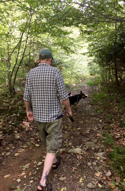
Coming to the rescue, naturalist and science teacher Patti O’Keefe agreed to take charge. On one of this year’s rare sunny September afternoons, she scouted the trail with her son, Brian, and his dog, Lexi.
After parking along Route 191, they bushwhacked through stands of stilt grass. The large parking area beyond the gate is a relic of the days when the previous landowner heavily timbered the mountain. Formerly the loggers’ staging area, it is open to the sun, and so has been overrun with opportunistic non-natives such as stilt grass, barberry and multiflora rose.
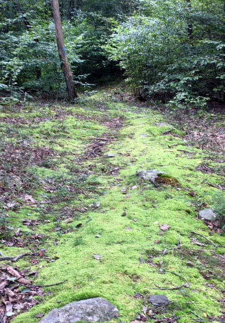
 Just ahead, the blue-blazed trail leads into the woods. Because of this summer’s heavy rains, Patti said “the start of the trail was like walking a creek!” Moving downhill, the trail dried out, and, like trails throughout the Poconos, became rocky.
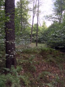
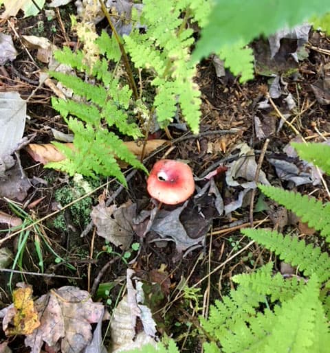
In my mind’s eye, I follow Patti through tall, old stands of native rhododendrons, past the bear-clawed beech tree and through the woods of beech, maple, ash and many kinds of oak. Deep among the trees, enormous glacier-dropped boulders look like a mammoth sculpture garden.
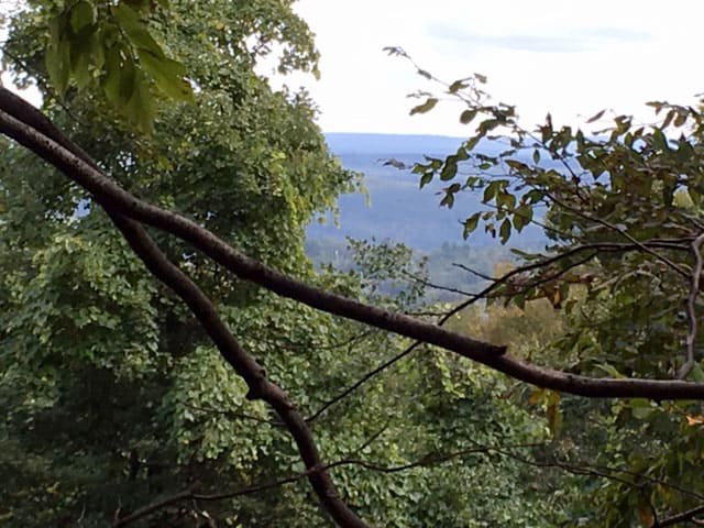
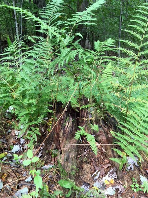
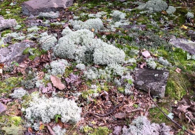
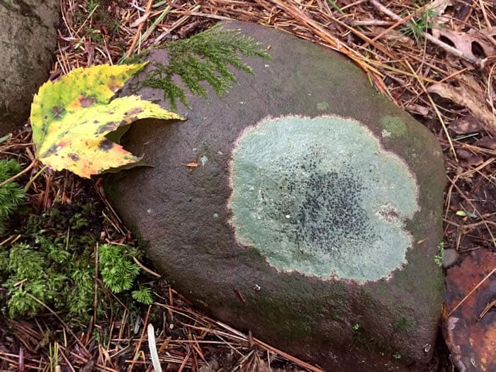
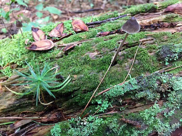
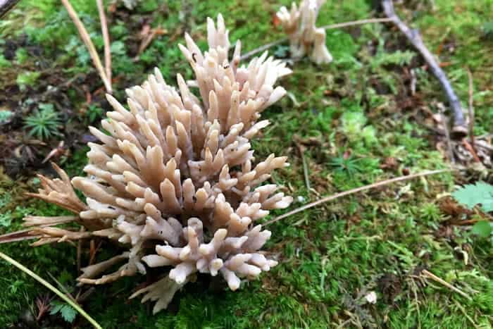
The trail continues down and opens on a carpet of mosses in every shade of emerald, olive, jade, and bottle green. Lichens paint rocks and trees, and a sea of hay-scented fern fans out as the overlook is suddenly ahead.
By mid-October, when Patti leads a nature walk here, a high, open view will reward the effort it takes to get here. I can’t be with you this time. But I’ll be picturing every step of the way.
Carol Hillestad is a hike leader and writer for Get Outdoors Poconos, a grant-funded series administered by Brodhead Watershed Association.