
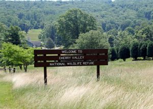
Where: Cherry Valley National Wildlife Refuge is off Cherry Valley Road south of Stroudsburg, Pa. Take Route 191 south past the Stroudsmoor resort. At the bottom of the hill, go left on Cherry Valley Road. At Croasdale Road, go right to parking for the refuge.
GPS coordinates: 40.9710 -75.1714
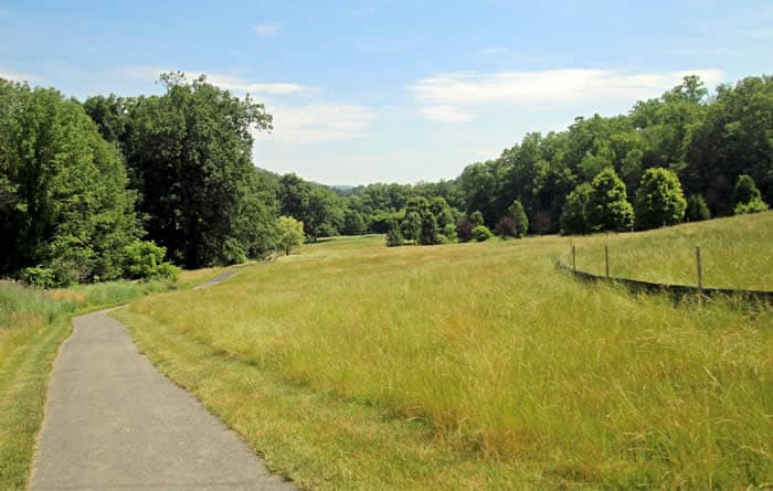
Trail information: A former golf course, the 193-acre preserve has kept the former cart-paths to form two walking loops — the Front Nine and the Back Nine – making for good footing and easy (though hilly) walking. Varied terrain, lots of views, and several miles of hiking options. Trails are hard gravel and well-groomed, with switchbacks, hills, and a gazebo at the highest point. Maps in the kiosk near the parking area.

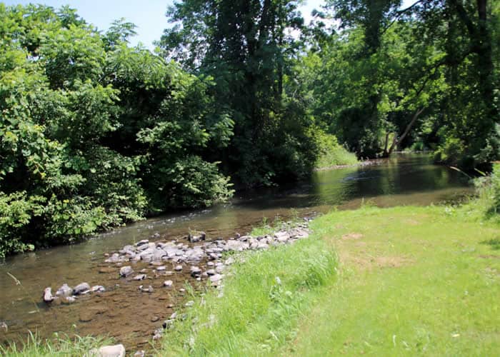
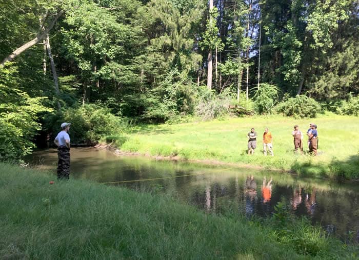
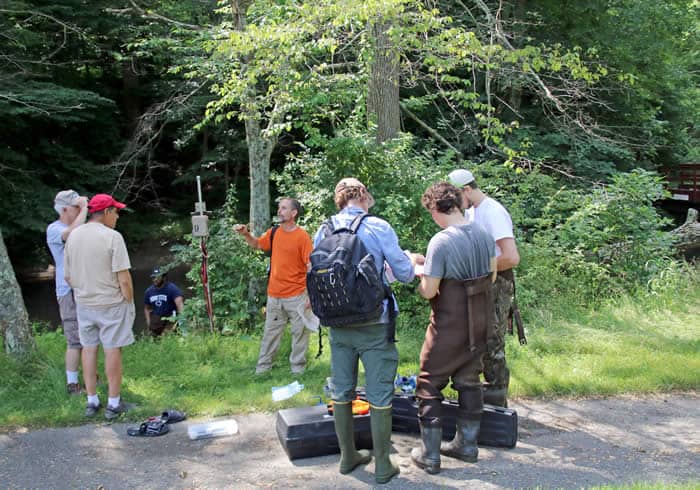
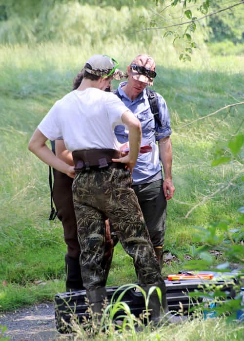
It’s easy to see that Paul Wilson, professor of biology at East Stroudsburg University, is a guy who is happier knee-deep in a stream than sitting at a desk. When I met him at the former Cherry Valley Golf Course on a breezy summer morning, he was surrounded by students and interns, divvying up waders and equipment for their monthly monitoring of Cherry Creek.
Wilson’s team studies temperature changes in the creek’s water, flows, how much sediment it carries, and other measures of stream health. Some information is gathered electronically. But some things just have to be measured on site. “The creek is a living laboratory, close to campus, ideal for teaching stream ecology,” Wilson said. “This is a real-life research project.”
It’s all part of a larger project undertaken in the months since the golf course officially opened to the public as part of Cherry Valley National Wildlife Refuge.
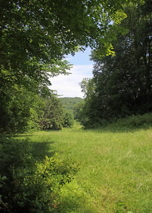
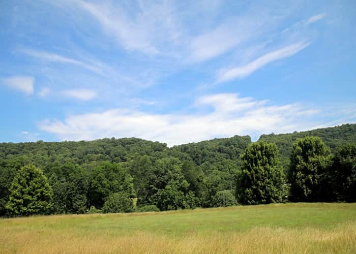
 The plan is to return the manicured greens and mowed fairways to nature. The cart-paths will stay, making for good footing and easy – though hilly – walking. Two loops — the Front Nine and the Back Nine — offer varied terrain, lots of views, and several miles of hiking options.
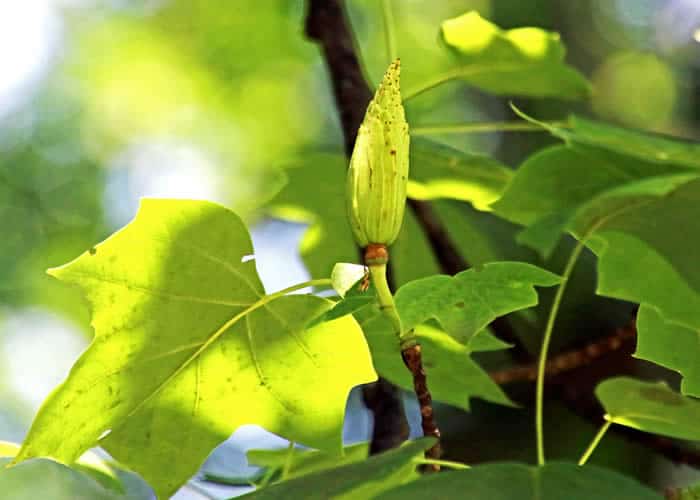
Most of the property’s 193 acres are forested. One boundary parallels Kittatinny Ridge, an important flyway for migrating birds, forming a buffer for the nearby Appalachian Trail.
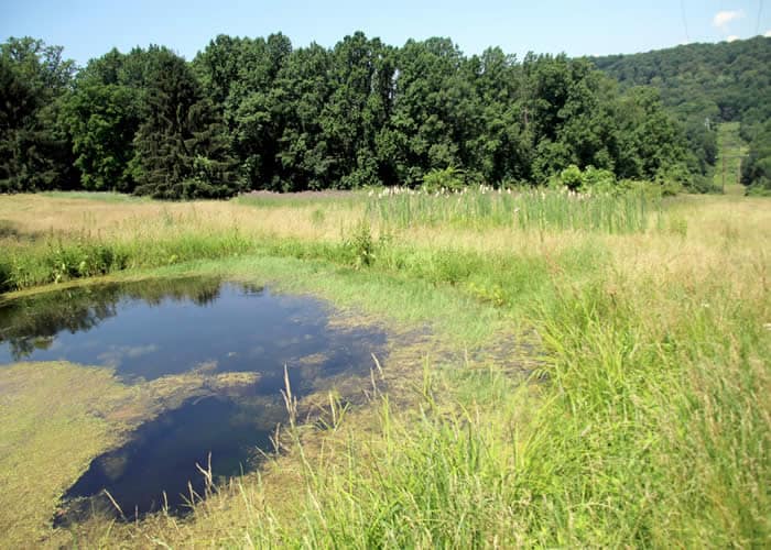
But the creek here has suffered from being mowed right to the edge. Without the natural filtration and cooling shade of creekside natives such as rhododendrons and hemlocks, fish and other aquatic creatures can’t thrive.
The headwaters of Cherry Creek rise near Saylorsburg and flow through agricultural land and housing developments. Confined between two ridges, the creek twists and turns and slowly meanders through the valley toward Delaware Water Gap, where it passes under Route 611, then Route 80. With the roar of trucks overhead, it meets Brodhead Creek and together they join the Delaware — on the way to becoming drinking water for millions. Returning the land here to its natural state filters and protects that downstream drinking water.
After leaving Wilson and the students hard at work, I take the Back Nine path, crossing the creek and doing a little meandering myself. The air is soft and full of birdsong — yellowthroats, towhees, catbirds and song sparrows. With plenty of cover and food sources, this place is a heaven for birds! Pokeweed, wild grapes and many kinds of berries abound. I notice evidence of fox and raccoon.
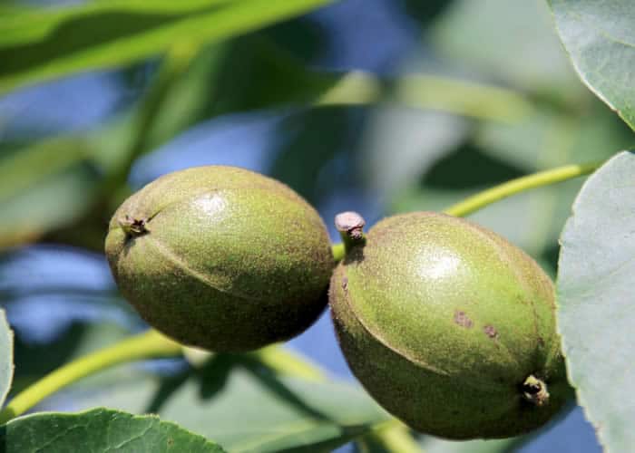
The abandoned tees are shaded by Norway spruce, tall oaks, big aspen and shagbark hickory. Zillions of tulip tree seedlings have sprung up. Staghorn sumac, skunk cabbage, ferns and willows inhabit the low wet places, and native cattails and frogs have colonized a former water hazard.
By now the team from ESU has moved well downstream, out of earshot and focused on their tasks. As I pack up to go, in my mind’s eye I see these student-scientists returning here in years to come to find the natural landscape restored, the creek bubbling with life and pure water. What a privilege to witness the first steps!
Carol Hillestad is a hike leader and writer for Get Outdoors Poconos, a grant-funded series administered by Brodhead Watershed Association.