
Where: The trailhead is off Route 447 in Barrett Township, Pa. From the Canadensis stoplight, take Route 447 north four miles. Sign for the trailhead is on your right. When you park, please do not block the trailhead gate.
GPS coordinates: 41.241858, -75.263485
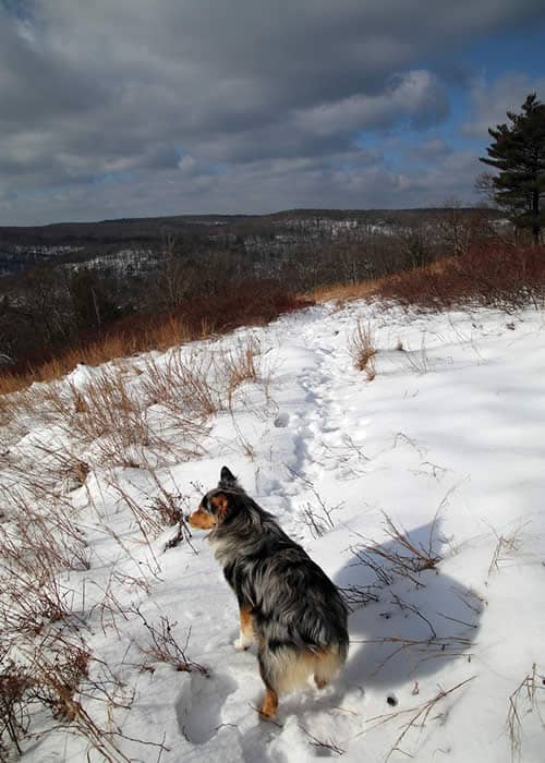
Trail information: 2.5-mile out-and-back hike to the Mount Wismer viewpoint. Difficulty is moderate-to-challenging; leaves and rocks underfoot, with stretches of steep climbs. When you pass the gate, bear to your right down a steep hill. Follow the woods road and blue blazes. Yellow- and red-blazed trails come up from below and join the blue-blazed trail. The blue blazes lead to the overlook.

Each day in the woods is different.
On a sticky day in July, the view from Mount Wismer can be soft-focus and hazy. In fall, it might be crisp and colorful. On a cold, wet morning in winter, I wasn’t sure what I’d see, but as I headed up Route 447 from Canadensis, the fog kept getting thicker. By the time I reached the trailhead at 1,500 feet, where friends were waiting, we were in the clouds.
 Climbing Mount Wismer from the bottom is a steep, rocky scramble. Going in this way, from the top, is a little easier, but still challenging. Some of the hikers have trekking poles; the rest of us grab sticks left at the trailhead gate by previous hikers.
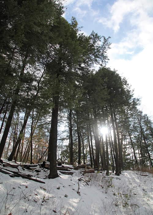
Along a wide woods road, the trail leads down a deep fold in the earth and up the other side. The footing combines rocks, wet leaves and crusty snow, so our walking sticks get a workout right from the start.
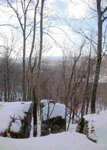
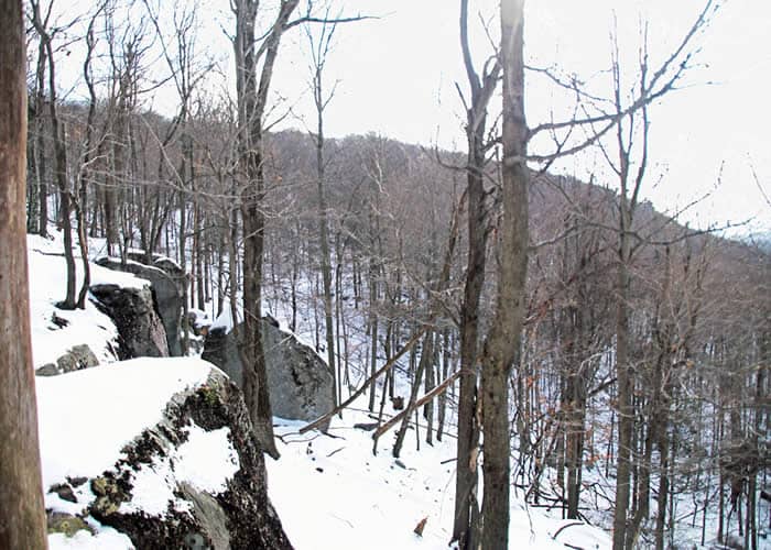
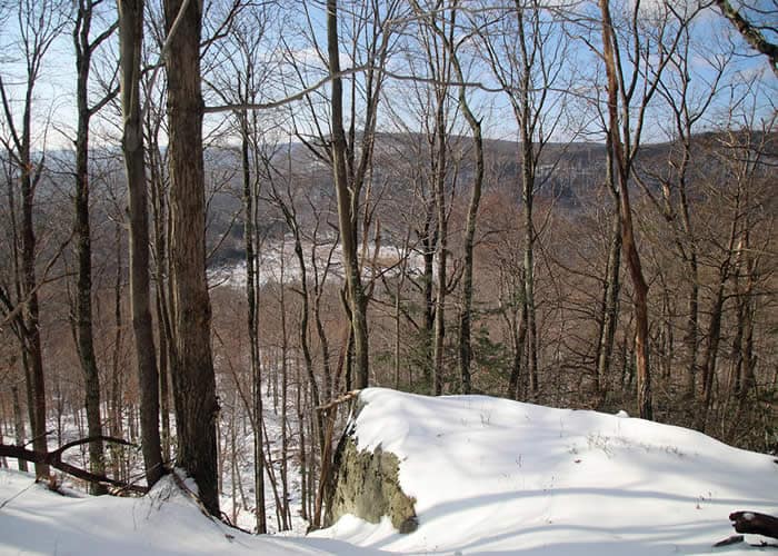
We notice that the sky grows darker. Puffs of snow cling to dry grasses and low-bush blueberries. A steep drop-off in the trail straight ahead blocks our way, until we see blue blazes off to the right. The Barrett Township road crew has blazed a switchback along the cliff edge, leveling off the elevation change — and providing the first breathtaking sight of the morning.
The slow action of water and ice has separated enormous slabs of rock from the cliff. The boulders haven’t yet tumbled completely free, so they seem to hover, poised for nature’s next shove that will send them crashing to the flatland below — in a millennium or so.
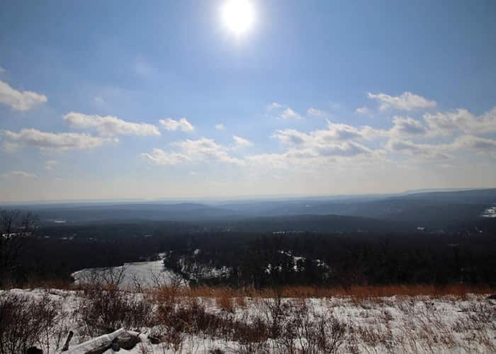
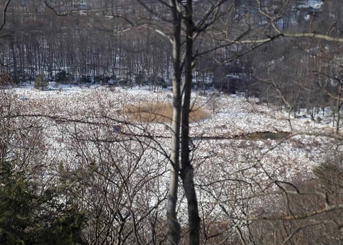
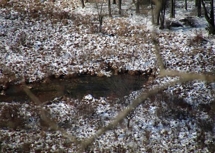
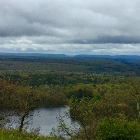
Further on, through the leafless trees, we glimpse a 50-acre marsh far below on the neighboring Gravel Family Preserve. This is the headwaters of the middle branch of Brodhead Creek. From here, water kept pure by this protected land rushes downhill, gathering in tributaries such as Laurel Run, Spruce Mountain Run, the Leavitt branch and Buck Hill Creek. Together, they become Brodhead Creek, famous among trout lovers everywhere as the birthplace of American fly-fishing. The Brodhead also provides drinking water for thousands of people downstream. It joins the Delaware River at the Water Gap, on its way to the Atlantic.
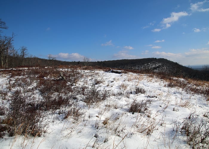
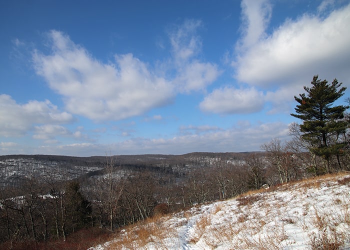
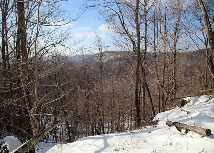
We’ve been climbing a gentle slope for half an hour when, ahead, the trees seem to thin. The low, dark sky lightens. In the valley, mountaintops float like islands above the fog. As we reach the open overlook, streaks of blue sky and shafts of sun break through. Foggy wreaths are rising from Skytop’s West Mountain to our left. Then suddenly, the valley is in the clear — Gravel Pond, Buck Hill, Spruce Mountain, and the hills beyond glow in the wintry sun.
But not for long! With hardly time for a snapshot and shout of surprise, the view closes in, and we turn back toward the trailhead, savoring this different day in the woods.
Carol Hillestad is a hike leader and writer for Get Outdoors Poconos, a grant-funded series administered by Brodhead Watershed Association.