
Where: Paradise Township,off Route 191, in Monroe County, Pa.
From the south, go north on Route 191 into Paradise Valley. Go right on Cranberry Creek Road for 1.5 miles. Trailhead is on your right.
From the north, take Route 390/191 south. Bear left at Carrazza’s restaurant to stay on Route 191 south. Go left on Cranberry Creek Road for one-quarter mile. Trailhead is on your left. Please don’t block the neighbor’s driveway or the gate.
GPS coordinates:41.1293 75.2699
GPS address: 424 Cranberry Creek Road, Cresco, Pa.
Trail information: A challenging hike of up to 3 miles with varied terrain – including a ravine. High water levels on Cranberry Creek might change your route; there is only one bridge crossing. There are four loops, cleared and blazed by the township.

Coldwater creeks are an everyday sight in Monroe County.
Some — like the Brodhead, McMichael and Marshalls creeks — flow within a stone’s throw of busy roads traveled by thousands every day.
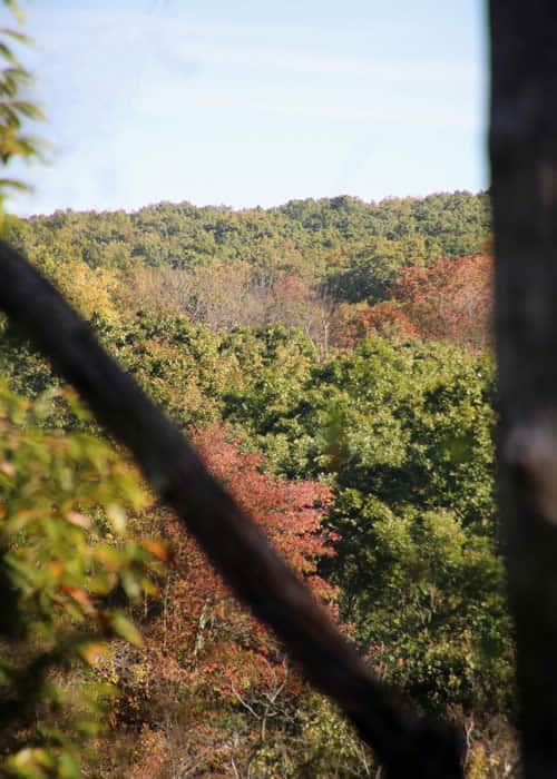
Others are off the beaten track. For much of its 5 miles, the waters of Cranberry Creek run through deep folds in the land, with 1,200-foot ridges on both sides. Clear, cold and home to native brook trout, the Cranberry is the hidden heart of the 150-acre Nothstein Preserve in Paradise Township.
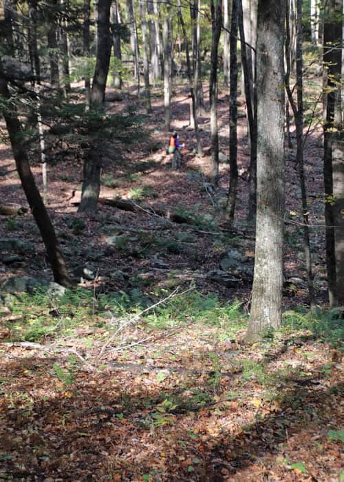
I’ve hiked here many times, over many years, but this time is special. The township hired workers this summer to clear and blaze trails, and Monroe County Planning Commission has mapped them. So for once, I know where I’m going!
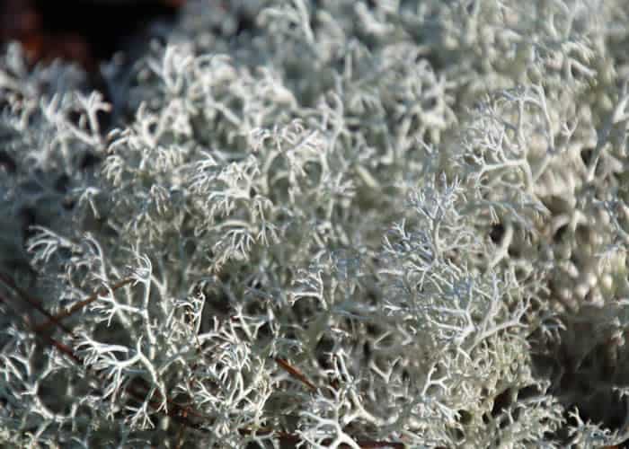
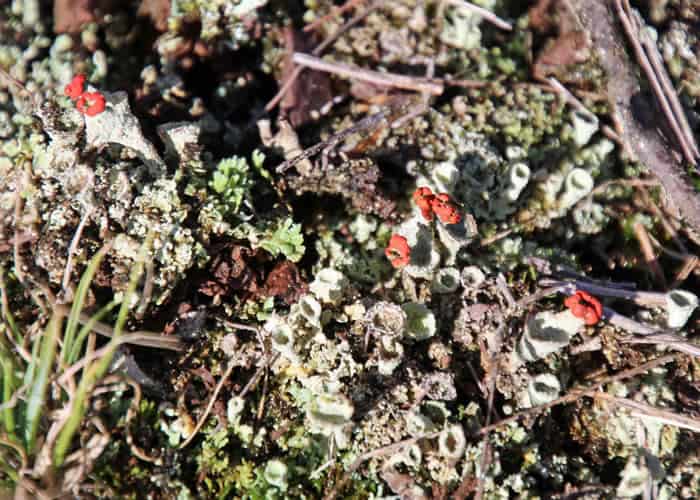
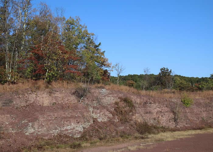
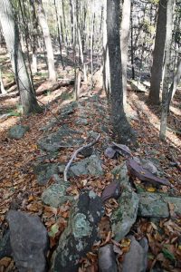 After a stroll along a woods road, the trail heads steeply uphill, hugging the property boundary, through a young forest of shagbark hickory, maple and red, white and chestnut oak. The bleached remains of oaks killed by gypsy moths stand like tall, ghostly fingers among thousands of promising oak seedlings and saplings. A succession of small red-rock cuts carpeted with reindeer moss leads to an old stone quarry.
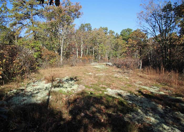
From here, the eye sweeps the line of the far ridge, across the gorge where the creek runs far below. It feels like wilderness — until the drone of a leaf-blower reminds me how close I am to private land.
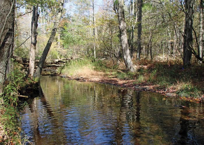
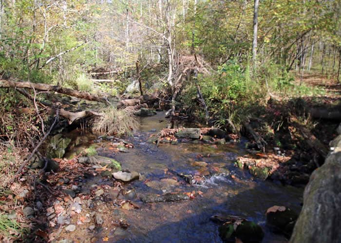
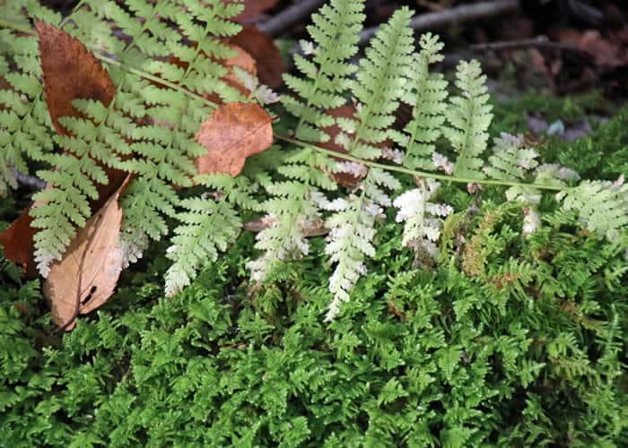
Swinging around the end of the quarry, the trail soon drops steeply into different terrain. A couple of unnamed tributaries plunge through a forest amphitheater littered with boulders and glacial till. Evergreen Christmas ferns abound. Mosses as thick and dense as a bear’s pelt soften the steep, rocky, single-track trail. The sound of water rushes in my ears, the air turns colder, and hemlocks and rhodies line the creek bank. The creek is suddenly at my feet.
This tumbling water begins in the high marshes at the edge of the Pocono Plateau – the sponge that feeds all the streams in the Brodhead watershed. Through a network of feeder creeks, marshes and bogs, water flows to become the Cranberry — rushing past me now through the backwoods on its way to the Brodhead, the Delaware, and the Atlantic. The land along much of Cranberry Creek is protected, keeping groundwater and creek water pure and safe for the millions who rely on it for drinking water.
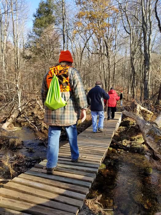
The trail continues on the far side of the creek. The bridge is out, but the creek is low, and crossing the rocks is easy. (Paradise Township is working on creating simple bridge stream crossings.) Along this bank, the trail is wide and parallels the creek, and the view is a steep rock wall toward the quarry above.
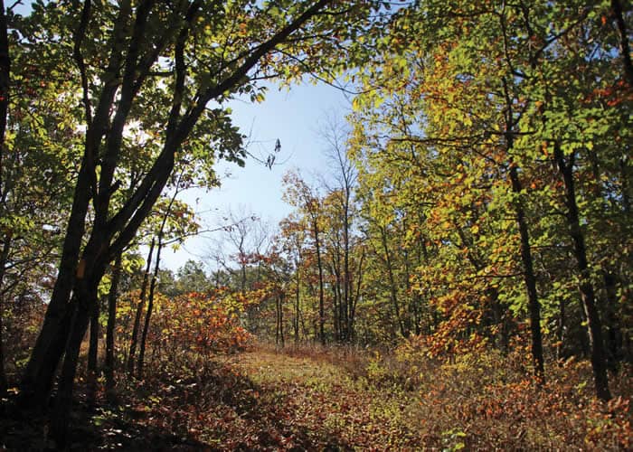
The trail map shows four loops, including one along the northerly, upland part of the property, following a fire road below the railroad tracks. I decide on the shorter version, skirting wetlands and looping back to the creek. Another “primitive” creek crossing puts me back on the wide woodland trail where I started.
I’ve only been out for a couple of hours. But time here flows differently – in tune with the creek, the falling leaves, the sinking sun. A painted lady butterfly settles on my arm. Time to head home.
Carol Hillestad is a hike leader and writer for Get Outdoors Poconos, a grant-funded series administered by Brodhead Watershed Association.