Stony Run rises in a wetland at about 1,600 feet, high on the Pocono Plateau, close to the county line. It runs about 12 miles, as the crow flies — though no creek runs like that — to rush under Route 447 in Price Township, tumbling over boulders into the Brodhead. Like every drop of water in the Brodhead watershed, these pure waters ultimately flow to the Delaware River, becoming drinking water for millions of people downstream. The creek’s final destination: the Atlantic Ocean.
Long stretches of Stony Run are far from human haunts. It gets dammed a few times, held up in shallow manmade lakes and ponds, but mostly it runs free and unseen.
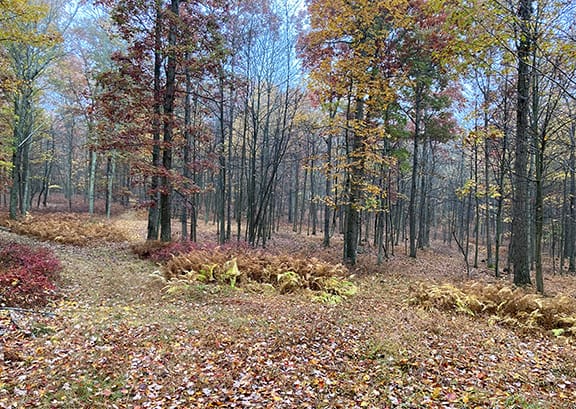
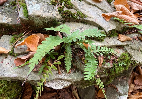
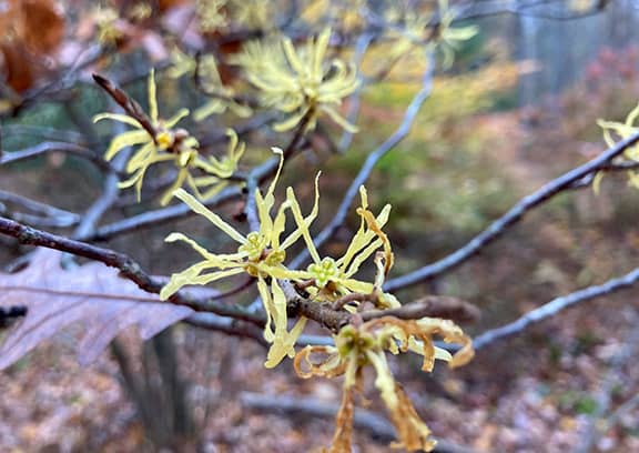
From a trailhead off Snow Hill Road in Price Township, a friend and I step into an unblazed maze of trails in Delaware State Forest headed toward Stony Run. Autumn is in full swing, with colors so vivid and various that it’s hard to name them. We pass maples like burning flames, witch hazels covered in pale spidery flowers, swaths of understory blueberries the color of a cranberry bog. Hay-scented fern is bleached nearly white against dark spruce Christmas ferns.
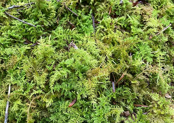
Our route seems rambling, but our heading is consistently down the ridge, toward the south. The trail alternates between an open, grassy woods road and steep rocky downhill stretches. Mixed hardwood trees arch overhead, and the air is full of a rich humus scent.
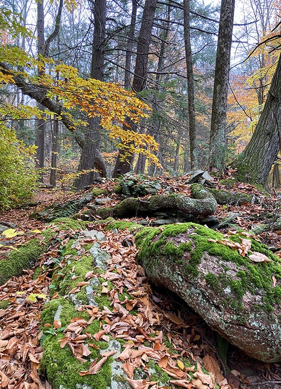
We descend between two huge hunks of rock, identical wedges for all the world like slabs of pie. And then the creek is there.
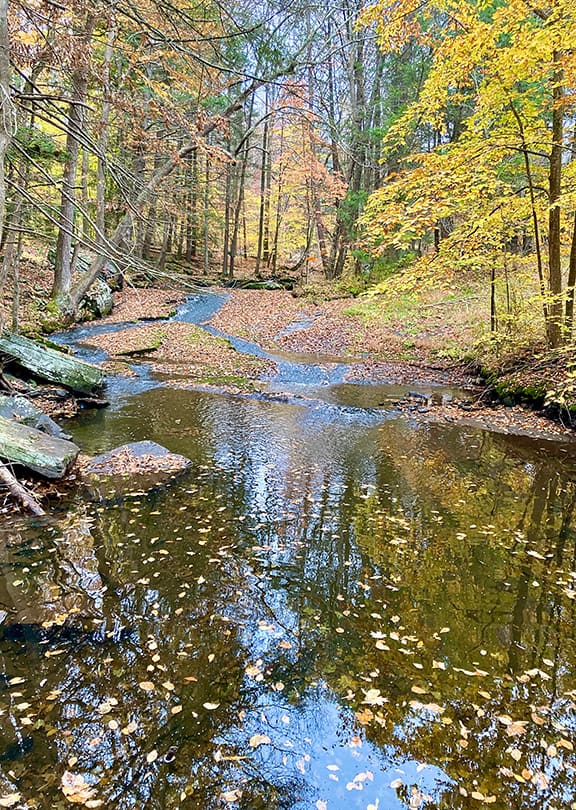
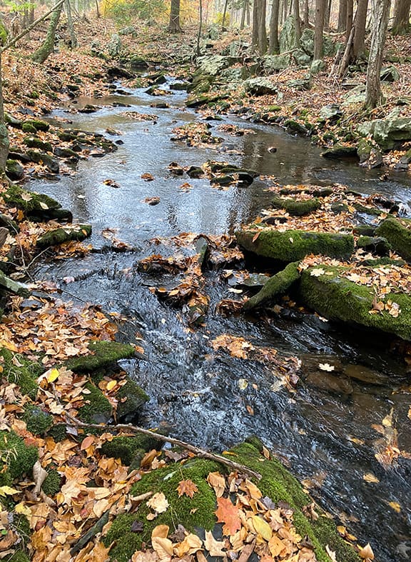
With all their similarities, every creek has its own personality. There can’t be any question where this creek gets its name — Stony Run’s banks are littered with rocks of all sizes, from ankle-busting rubble to flat, tilted boulders that seem to be sliding into the water in glacially slow motion. In this rain-deprived year, the creek flows flat and quiet; still pools are latticed with fallen leaves. Upstream, a surprise — a natural waterslide formed in the bedrock.
Across the creek we see what looks like the stone wall of a barn foundation. Stumbling along the rock-strewn bank we come to a wide, well-maintained wooden bridge – so wet feet won’t be required to investigate.
The mystery isn’t solved, though. On the far side of the bridge, we make our way through tussocks of grass, burr sedges, sphagnum moss and unexpected seeps to reach the structure. It seems to be just a wall, taller than head height and 30 feet long, neatly and painstakingly built, without even a trace of what its purpose might have been.
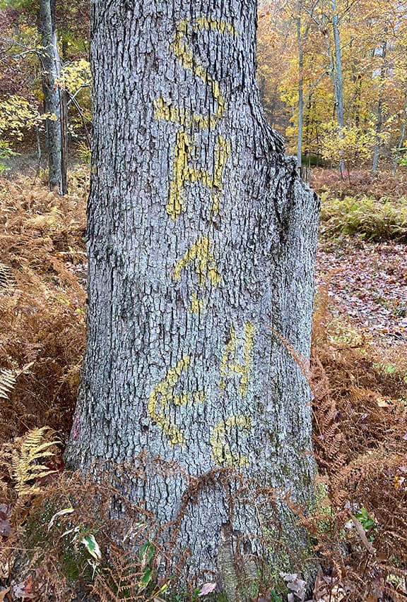
Back across the bridge, we take a different route toward the trailhead. Without blazes, the branching trails can start to all look alike. But at many intersections, trees are marked in yellow paint with arrows and the letters SH. My friend says that this land was once owned by a hunting club, and the yellow marks were “road signs” pointing to Snow Hill Road. The paint is worn, but still visible — and helpful.
Until now, my acquaintance with Stony Run was based on its confluence with Brodhead Creek, where in springtime it is a crashing, roiling firehose of a creek, brash and loud. Today I’ve glimpsed a different side of this creek’s personality — one I can’t wait to get to know better.
Carol Hillestad of Cresco is a writer and hike leader for Get Outdoors Poconos, a free hike series administered by Brodhead Watershed Association.

