


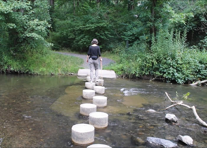
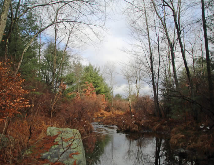
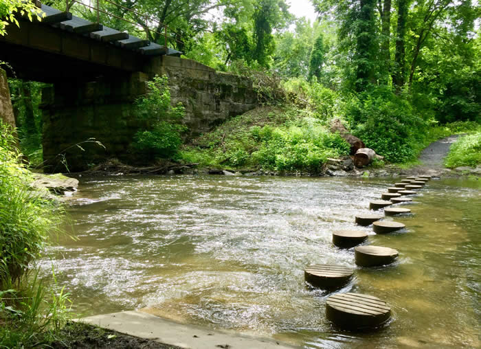
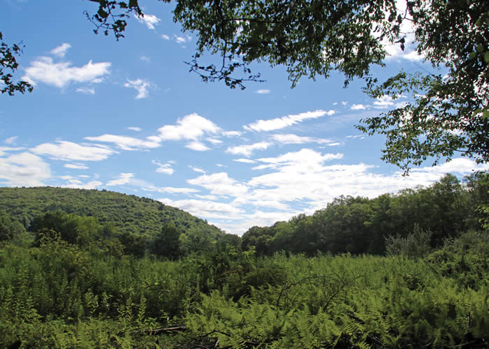
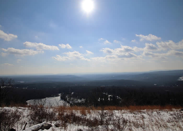
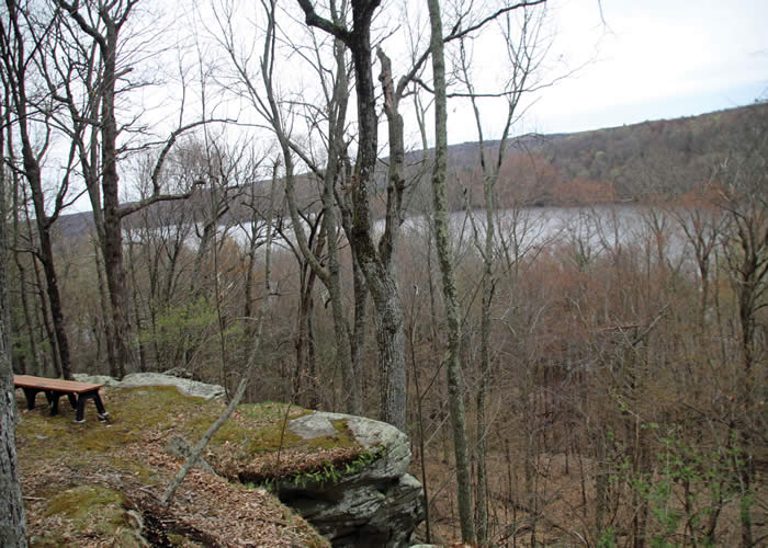
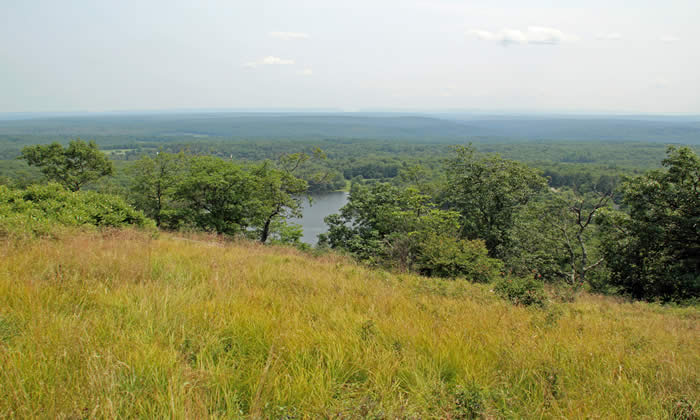
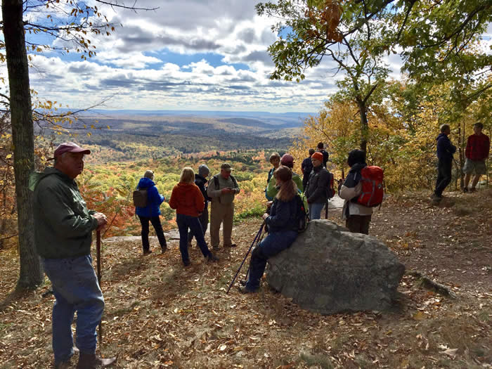
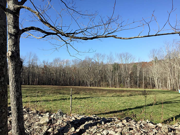
HIKE AT TABLE ROCK
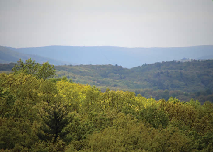
Highlights: Striations from glaciers, long views over Delaware Water Gap
Trail information: 2.25-mile loop hike of moderate difficulty with some rocky, steep sections.
Click here for photos and a feature story.
HIKE EVENT!
Because parking at the trailhead is limited, registration for this hike is closed. To be added to the waiting list, please email hike leader Carol Hillestad at info@brodheadwatershed.org.
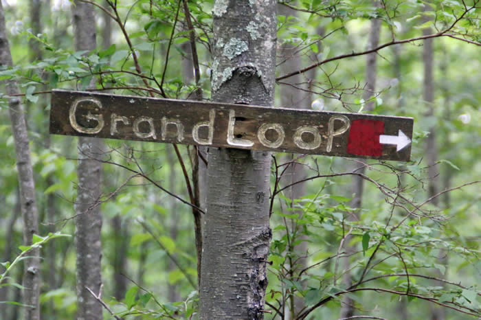
Join Carol Hillestad, hike leader for Brodhead Watershed Association, for a 2.25-mile loop hike to Table Rock. Moderate difficulty with some rocky, steep sections.
WHEN: 10 a.m. to noon Saturday, December 14, 2019
WHERE: Near Delaware Water Gap, Pa. Register for directions.
NOTE: Special thanks to the U.S. government, which monitors and protects this land for the public to use as part of Delaware National Recreation Area.
COST: Free, but registration is required. Event is limited to 20 hikers.
INFORMATION: Call 570-839-1120 or 570-629-2727; email info@brodheadwatershed.org. The hike series is administered by Brodhead Watershed Association and supported by a grant from the William Penn Foundation.

SAVE THE DATE!
Feb. 15: "Talking Turtles," an indoor event at Cherry Valley National Wildlife Refuge, in partnership with Friends of Cherry Valley
March 21: Wolf Rocks on Appalachian Trail, in partnership with Sierra Club
April 18: Cresco Heights
More hikes are being planned for later in 2020. Check back for details!
Photography policy: Attendance at BWA programs and events constitutes consent to be photographed for use in print and electronic media. Images will not be identified using full names without written approval from the individual. Please notify BWA staff if you would prefer that your photo not be used.
HIKER'S ARCHIVE

 |
 |
PINEBROOK PARKEasy, flat trails for all Protects the Brodhead Creek
|
PARADISE-PRICE PRESERVE Easy, 1-mile trail through woods, and then another trail leading to waterfalls Protects Brodhead and Cranberry creeks |
 |
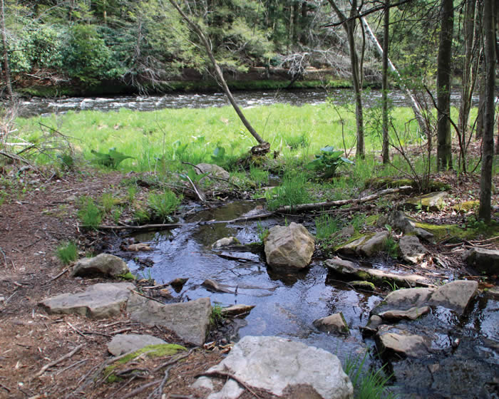 |
CHERRY CREEK LOOP Easy, interesting 2.6 miles Protects Cherry Creek
|
AUSTIN T. BLAKESLEE
|
 |
 |
WEST END REGIONAL PARKAn easy 3.3 miles Protects McMichael Creek |
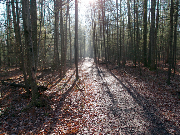
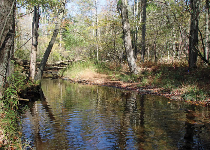
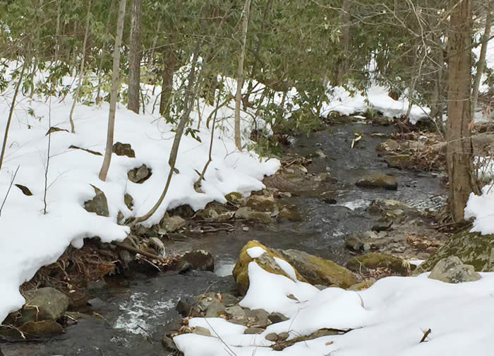
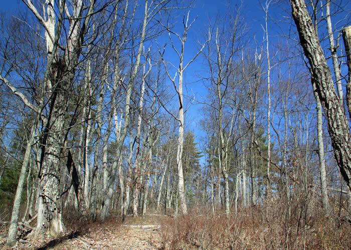
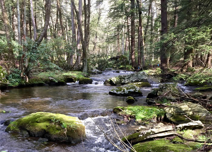
THUNDER SWAMPWhat glaciers made Protects Little Bushkill Creek and Delaware River |
 |
 |
thomas darling preserveFootbridges, boardwalks, ancient marsh waters and glacier-carved landscape Protects Two-mile Run and Tobyhanna Creek |
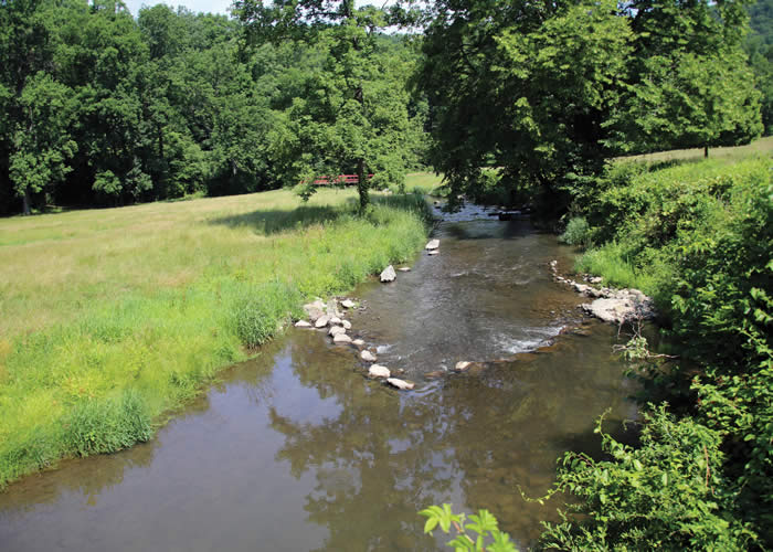
MOUNT NEBOSecluded yet close to civilization; 159-acre park straddles a ridge between two creeks. Protects Marshalls Creek |
 |
 |
RED ROCK TRAILManicured trails (4 miles of them) right Protects Forest Hills Run and Paradise Creek |
BIG WOODS NATURAL AREAFairly easy hiking, and popular with bikers and equestrians Protects McMichael Creek |
 |
 |
MINISINK PARK28 acres left mostly natural. Easy trails. Protects Cherry and Brodhead creeks MORE |
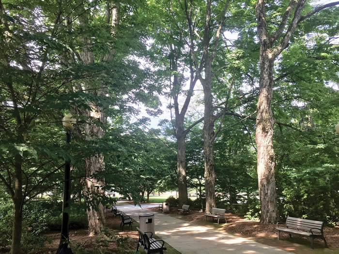
EAST STROUDSBURG UNIVERSITY'S ARBORETUM A tree museum with easy walking.
|
 |
 |
BROWNS HILL PRESERVE Easy trail on old woods road. 20-foot rock cairn. Start of a public-land greenway. Protects Brodhead, Cranberry creeks |
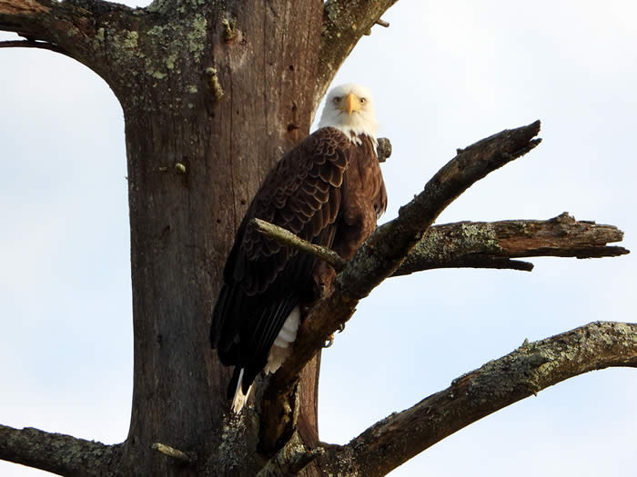
ForEvergreen Nature PreserveMile loop that passes by an eagle nest. Protects Brodhead Creek.
|
 |
|
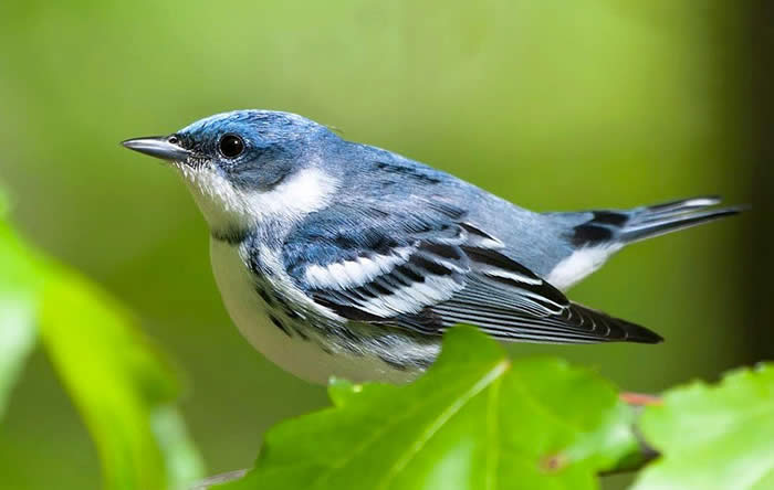
DELAWARE STATE FOREST'S WARBLER HABITAT Special site catering to the tiny cerulean warbler. |

 |
 |
SILVER VALLEYA network of trails along the beautiful McMichael Protects McMichael Creek |
pasold farm nature preserve64 acres of “enchantment" Protects Brodhead Creek |
 |
 |
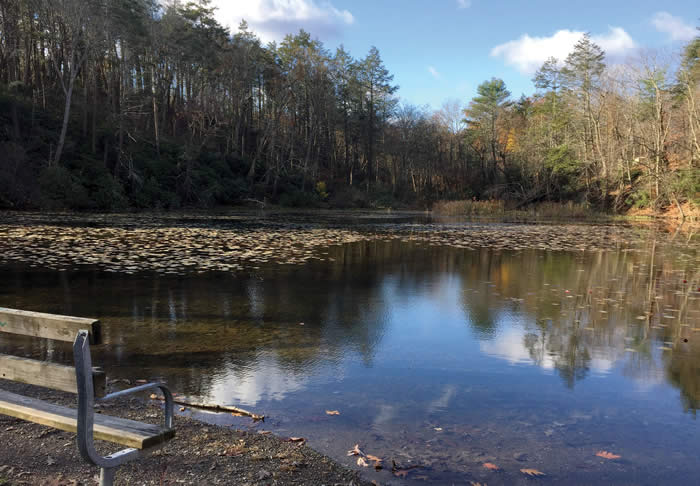
CHILDS PARKWater, water everywhere |
SNOW SHANTY LOOPFamily-friendly outing |
 |
 |
SHERWOOD FORESTA view from the top Protects Appenzell and McMichael creeks |
Long SwampVisit a relic of the Ice Age Protects Dingmans Creek |
 |
 |
MOUNT WISMER
|
WEST END REGIONAL PARK'S EAST ENDA 2-mile challenge for hikers and bikers Protects McMichael Creek |
 |
 |
NOTHSTEIN PRESERVE 150 acres to explore: Cranberry Creek crossing, old stone quarry and a gorge Protects Cranberry Creek in Paradise watershed |
CHERRY VALLEY
|
 |
 |
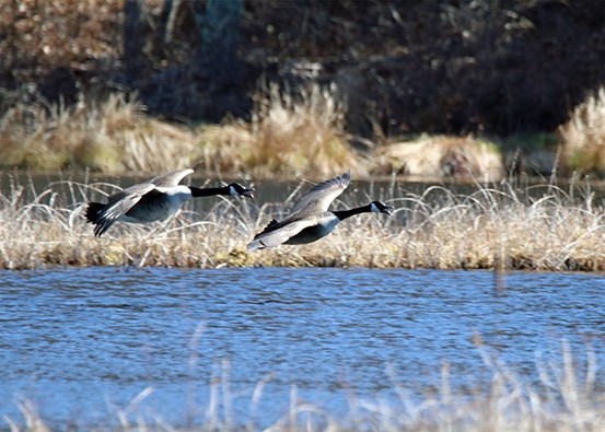
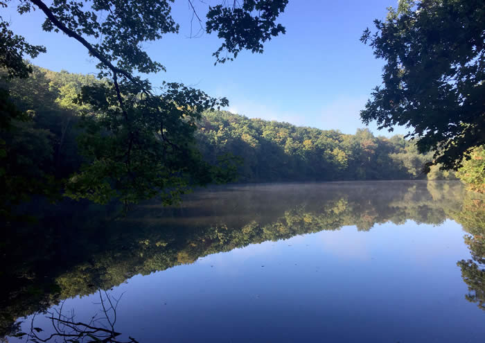
LACAWAC SANCTUARY Lake views, extensive wildlife Protects Wallenpaupack Creek |
BRUCE LAKE NATURAL AREAAn 8-mile trail network featuring wildlife and two lakes. Protects Egypt Creek and Lackawaxen River |
 |
 |
GRAVEL FAMILY NATURE PRESERVE Blueberry fields and a creek in the shadow of Mount Wismer. Protects Brodhead Creek headwaters
|
CHERRY VALLEY REFUGE REVISITEDA year later, see how former golf course has rejoined its place in nature |
 |
 |
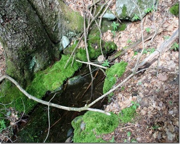
pasold farm REVISITEDElephant-sized boulders and a picturesque farm spring. Protects Brodhead Creek |
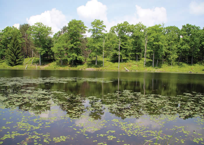
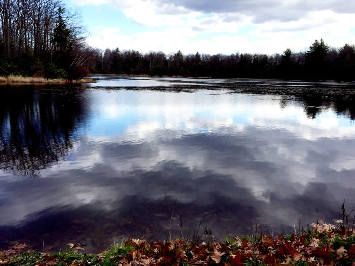
GLEN RUN NATURE PRESERVEA lake, remains of a Victorian inn and scenic overlook. Protects Brodhead Creek
|

 |
 |
SWIFTWATER
|
ZIMMER WILDLIFE SANCTUARYHistory to be found Protects Brodhead Creek headwaters |
 |
 |
STAIRWAY RIDGEWell worth the climb Protects Delaware River |
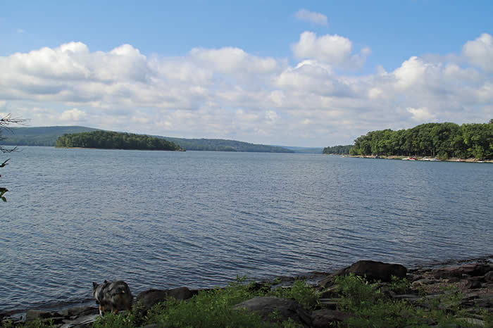
SHUMAN POINT NATURAL AREAAn oasis along Lake Wallenpaupack Protects Wallenpaupack Creek |
 |
 |
MOUNT WISMERPanorama from the top |
CHESTNUT MOUNTAIN
|
 |
 |
PARADISE-PRICE PRESERVE
|
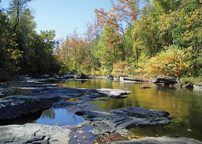
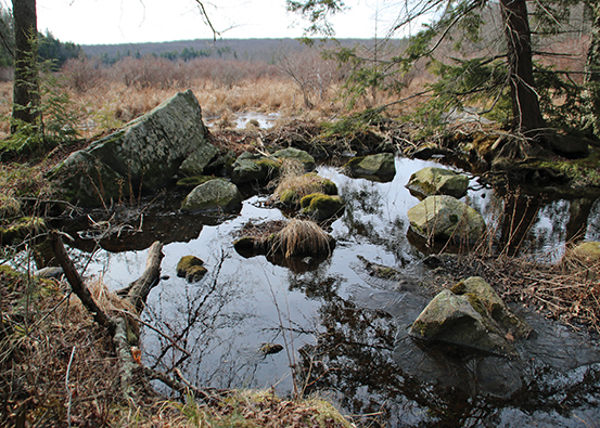
CHERRY VALLEY RIDGE TRAIL Views of Cherry Valley, abundant wildlife, a rock pool that is the headwaters of Cherry Creek. Protects Cherry Creek
|
 |
 |
VAN BUSKIRK PRESERVEA 2-mile, strenuous loop hike on and off trail. Protects Cranberry Creek in the Paradise watershed |
CHESTNUT MOUNTAIN REVISITEDLong views of beautiful foliage. Enormous glacier-dropped boulders. Protects Buck Hill Creek. |
 |
|
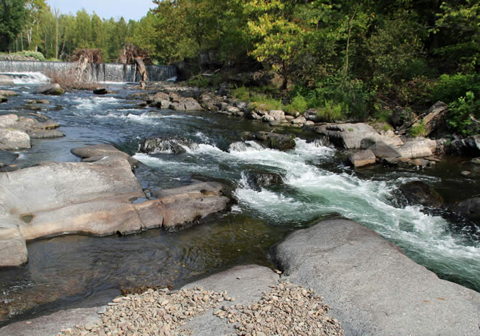
SPRUCE MOUNTAINWaterfalls and a stunning view. Protects MIddle Branch and Brodhead creeks. |
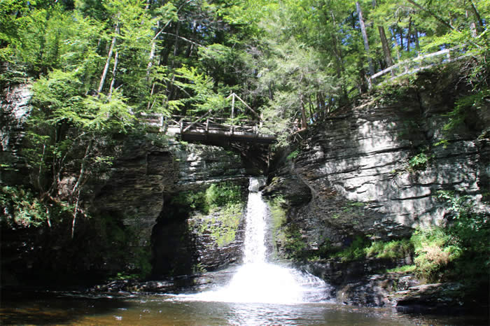
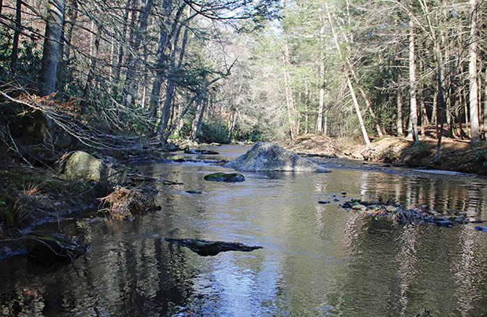
RATTLESNAKE FALLSWaterfalls, beautiful ravine. Protects Upper Brodhead Creek. |
PRESERVED PRIVATE LANDS
 Price property
Preserved in perpetuity
Protects headwaters of Brodhead Creek
To read more about the natural wonders of this property and how it's been preserved, click here.
 Timber Hill Farm
A family farm preserved in Paradise Township. Read about how a conservation easement can make a difference: click here.
Protects Forest Hills Run
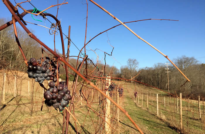 EAGLES REST FARM
A family farm that produces Christmas trees and (soon) wine will be preserved for perpetuity in Cherry Valley. Read about how a conservation easement can make a difference: click here.
Protects Cherry Creek
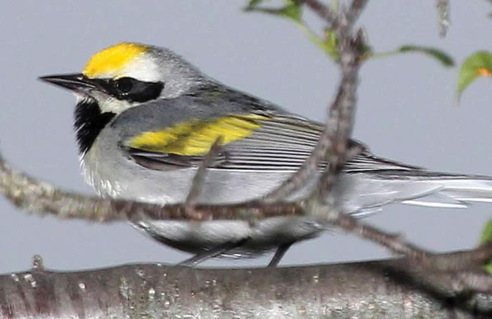 FOR THE BIRDS
As we hike through the Poconos, let's give a thought to the imperiled golden-winged warbler and a nod to the landowners who make a point to provide habitat.
For a feature story and more photos, click here.
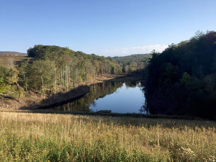 THE DRY DAM
Learn what a dry dam in northern Monroe County does to protect the Brodhead watershed.

MAKING CONNECTIONS:
TRAILBLAZERS IN MONROE
With trails scattered throughout the county, many would-be walkers don’t know where to start.
What if existing trails could be linked, with access and parking at clearly marked trailheads in every township? More — what if our trail system could be linked to networks of trails beyond? What if you could bike, say, from Delaware Water Gap to the Portland footbridge — even all the way to the Statue of Liberty?
That’s not a pipe dream. Read more about the trail plans here.
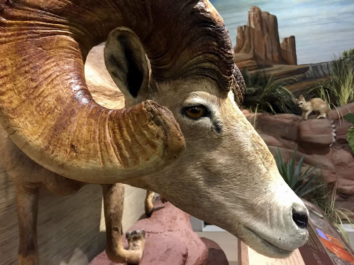 INDOOR ADVENTURE:
ESU'S SCHISLER MUSEUM
In the span of an hour at the Schisler Museum at East Stroudsburg University, visitors can tour the Frozen North, a Boreal Forest, Canyon Country, the Verdant East, and the African Bush.
Click here for photos and a feature about the museum.
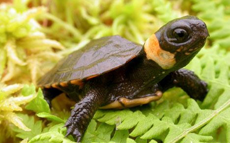
TURTLE HABITAT
IN CHERRY VALLEY
Private, protected land that protects colonies of the rare bog turtle.
Click here for photos and a feature about the preserve.
![]()
HOW A COMMUNITY CHANGED CHERRY VALLEY
Years of dedication created a refuge that protects wildlife as well as Cherry Creek headwaters.