
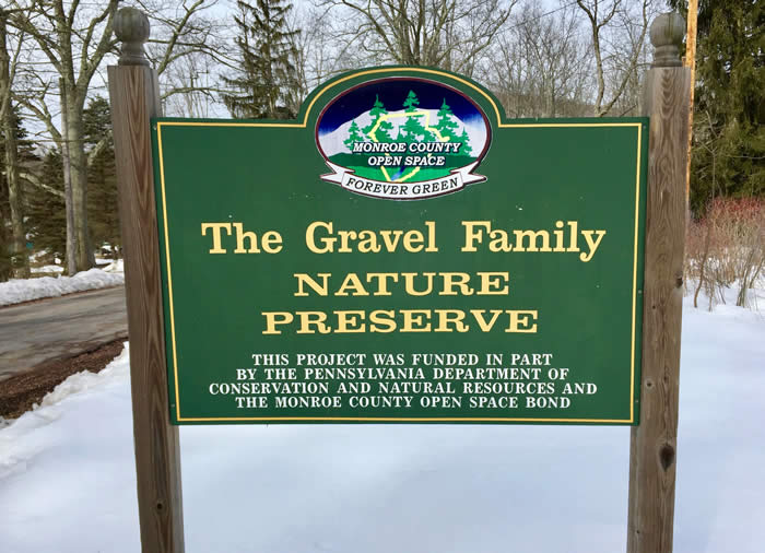
Gravel Family Nature Preserve
 IF YOU GO
Where: On Gravel Road, off Route 447 in Barrett Township, near Canadensis, Pa.
GPS coordinates: 41-13.595N, 75-15.777W
Trail information: A 2-mile out-and-back hike. Footing is easy to moderate, with leaves and rocks underfoot and stretches of wet ground. Walking stick recommended.
![]()
![]()
![]()
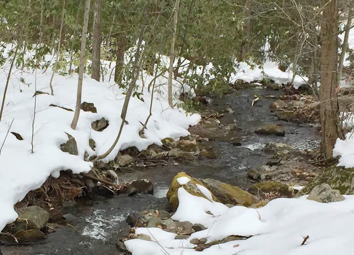
• Cruising the creek at Gravel Family Nature Preserve
KNOW BEFORE YOU GO:
• Gravel Family Nature Preserve is 179 acres of public land, preserved by the people of Barrett Township. Open to the public, dawn to dusk.
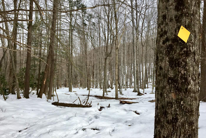
• Trails are blazed in red, yellow and blue.
• Dog park, porta-potty and benches. Blueberries in season. No trash containers. Pack out whatever you pack in.
• Parking for about 20 vehicles. Do not block the trailhead gate.
• Leashed dogs allowed on trails. Owners must pick up and carry out waste.
• Hunting is allowed nearby. Hikers should wear orange.
Seeing harbingers of spring at Gravel Family Preserve
By Carol Hillestad
A pale and wintry sun casts only the weakest of shadows at Gravel Family Preserve in Barrett Township on a late March morning. Winter is still in charge here, and the snow is deep. The breeze feels frosty, and I smell woodsmoke as I set off, hoping for signs of spring.
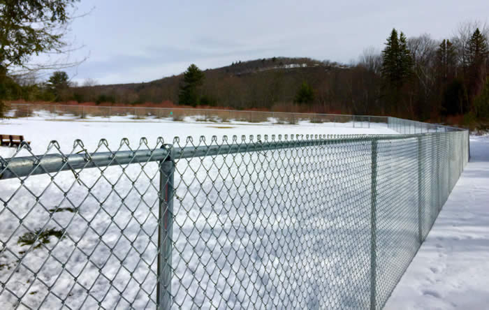
Barrett Township has built a dog park here with benches and a large fenced run. The track I follow along the edge of the park is packed firm with bootprints and paw prints big and small, along with delicate hoof prints of deer. To the right, Mount Wismer broods over the landscape in the flat light. Hundreds of wild blueberry bushes glow in a haze of orange-red, the leaf buds ready to open as the days grow longer.
 Past an open field, small wetlands gleam through stands of rhododendron. Tracks of deer and other creatures lead to the edge, where a skim of ice covers the water. Last year’s dark leaves show in crisp detail under the ice. Within weeks, these cold, silent places will be rife with salamanders, spring peepers, wood frogs, toads, and all the riot of new life. In my mind’s eye, I see water striders skating on the surface, egg masses aquiver with tiny dabs of life, and tadpoles squiggling among the decomposing leaves. Soon.
The first trail marker is red. This leads up a steep, rocky scramble straight to the viewpoint on Mount Wismer. Sticking with the lower, yellow trail, the route our April hike will take, I see white pine, hemlocks and Norway spruce. Beech, birch and shagbark hickory trees are also abundant, along with native witch hazel and the ever-present barberry.
The yellow trail skirts the tumbled fall of boulders at the base of Wismer and curves around the edge of a 50-acre marsh. Remains of last year’s cattails spike above this huge, wet meadow of sedges and water-loving shrubs. The abrupt “conk-la-reeeee!” of a male red-winged black bird rings out — another promise of spring.
In this hidden marsh and the acres of forest and wetlands around it, springs and groundwater and rain and snowmelt from the surrounding hills give rise to the Middle Branch of Brodhead Creek. Filtered by the forested land, the pure, cold water of the Middle Branch runs along Route 447. Crossing under the road, it joins other high-spring waters such as Griscom Creek, Buck Hill Creek and the Leavitt Branch. Together, they become the waters of the upper Brodhead Creek, one of the world’s most famous trout streams. From this quiet, protected place, water begins its long journey to the Brodhead, then the Delaware, becoming drinking water for millions of people before reaching the Atlantic Ocean.
Turning to retrace my steps to the trailhead, I realize I have company. A soft twittering and a long bill probing the ground reveal a woodcock. Though very close, miraculously, it hasn’t noticed me. With cold marsh water soaking my boots, I hold my breath and watch. Soon. Yes, very soon!
Carol Hillestad is a hike leader and writer for Get Outdoors Poconos, a grant-funded series administered by Brodhead Watershed Association.
Photos and video by Carol Hillestad
 |
|
| The yellow-blazed trail leads up the face of Mount Wismer. |
 |
 |
|
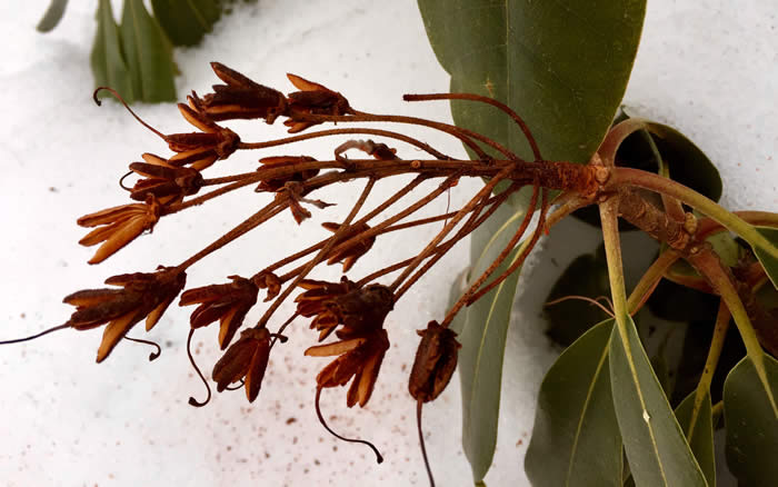
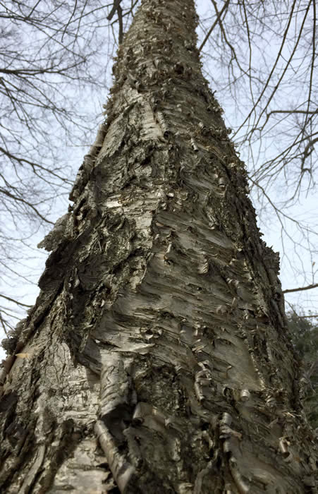
| “Candelabra” remains of last year’s rhododendron flowers. | A native birch tree. |
 |
|
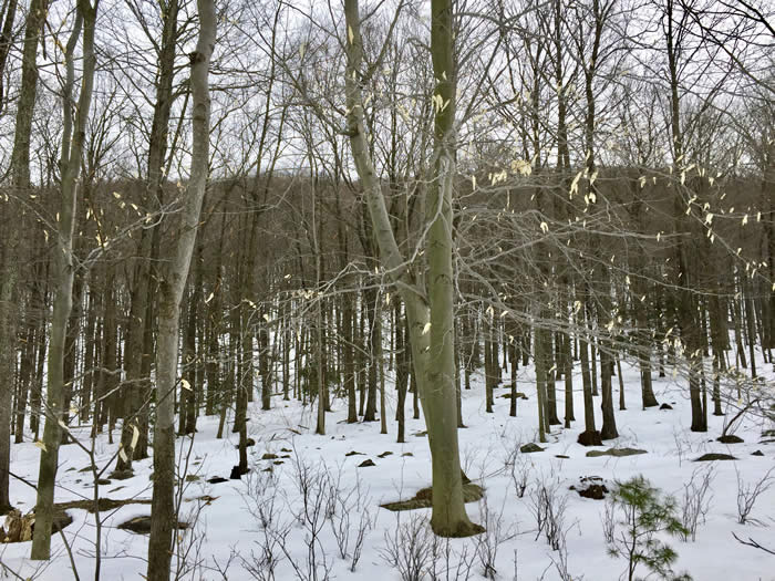
| Beeches along the trail, with Mount Wismer in the background. |
 |
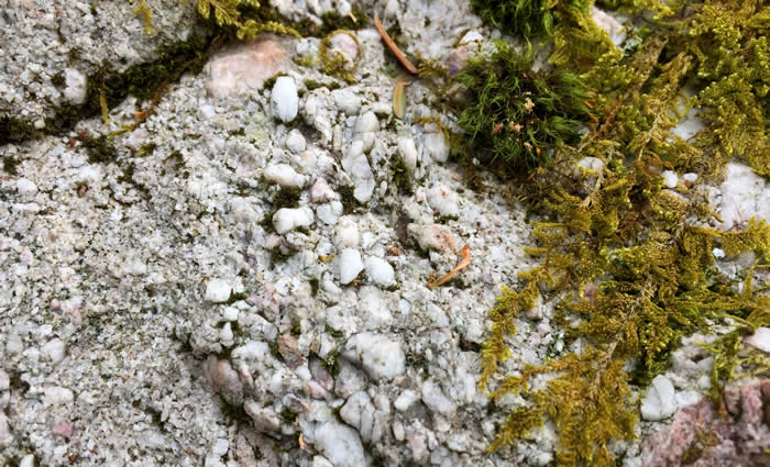 |
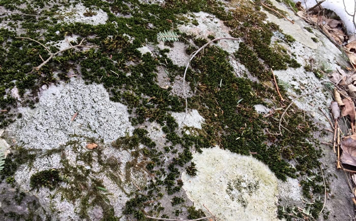
| Many types of lichen decorate a boulder. | Conglomerate rock, a relic of glacial activity, with evergreen mosses. |
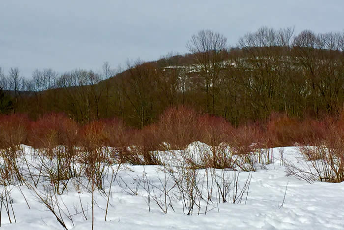
Blueberry bushes ready to leaf out, with Spruce Mountain in the background. |
 |
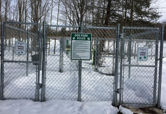 |
The preserve includes a dog park, with play areas for small and large dogs designated. |
|
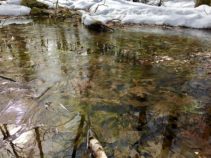 |
| A skim of ice on one of the many wetlands that will teem with life within weeks. |
Comments from other hikers:
JOHN of Cresco: A great hike on a gorgeous day.
Share your experiences of this trail -- what you saw, how you liked it: