
Cherry Valley Ridge Trail
 IF YOU GO
Where: Within Cherry Valley National Wildlife Refuge, Stroud Township, Pa. Take Route 33 to the Saylorsburg exit. Go south on Route 115, then left on Lower Cherry Valley Road. Just under Route 33 and before the winery, go right to the trailhead.
GPS coordinates: 40.884063, -75.308476
Trail information: Challenging hike of about 2 miles. Trails are steep and often rocky. Along the creek, trails may be wet. Wear sturdy boots, take water and a map.
![]()
![]()
KNOW BEFORE YOU GO
• The Ridge Nature Trail, also known as “the headwaters tract,” is part of Cherry Valley National Wildlife Refuge, administered by U.S. Fish and Wildlife Service.
• Open dawn to dusk.
• No fires. No dogs. No ATVs or other motorized vehicles.
• No sanitary facilities or trash receptacles. Please pack out whatever you pack in.
• For information about hunting in the refuge, click here.
Hike to the headwaters of Cherry Creek
By Carol Hillestad
It’s easy to catch glimpses of Cherry Creek all along its 15-mile run.
At Minisink Park, where it pours into Brodhead Creek and the Delaware River, stepping stones will take you across the creek. In Delaware Water Gap, you can see its waters running under the Main Street bridge. Further upstream, it meanders in full view through the old Cherry Valley golf course and along Cherry Valley Road.
But to see the headwaters of this lovely little creek takes some effort.
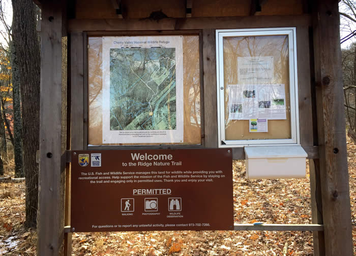 A long, narrow track wedged between a winery on one side and Route 33 high above leads to the trailhead. A kiosk with a trail map welcomes hikers to the 184 acres of the Ridge Nature Trail, part of the Cherry Valley National Wildlife Refuge.
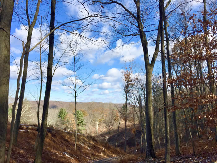
After a quick scramble over chunks of grey road-bed rock, the trail heads straight up. With highway noise and electric line cuts, civilization seems too close for comfort at first. But all that recedes once you stop to catch your breath at the top, where long, ridge-to-ridge views reward your effort.
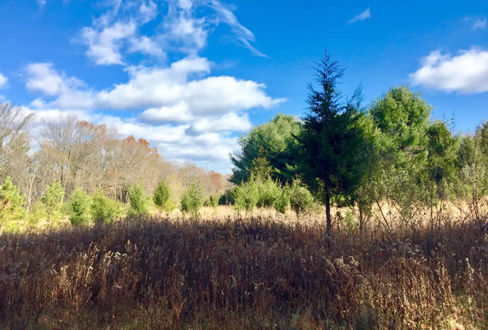
Soon, the woods road trail opens up, and a sapphire sky arches over a field studded with eastern red cedars. There are wildlife blinds here, and deer trails wander through the remains of last summer’s meadow flowers — goldenrod and yarrow. Some cedars show deer-rub scars.
This is a banquet hall for wildlife, smack in the middle of the Atlantic flyway. Birds love the cedars’ tiny blue “berries” (actually odd-looking cones). Not just cedar waxwings, but bluebirds, ruffed grouse, wild turkey and other birds come to the feast in fall — so do many mammals such as meadow mice, rabbits, foxes, possums and coyotes. And white-tailed deer, of course!
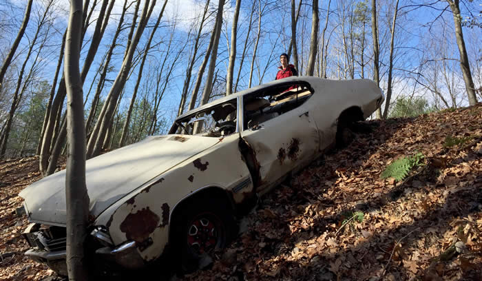
One loop of the trail circles around the field, but a longer walk leads through woods to a surprising sight: resting just off the remains of a staging area used during the building of Route 33, a long-abandoned car!
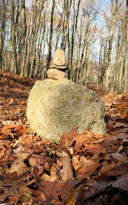
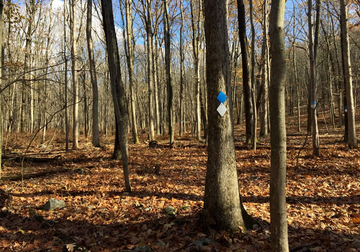
The trail is blazed in blue and white here, and continues along the western border of the property. Past a rocky jumble of glacial till, it heads back to the electrical line. The terrain becomes steep, the earth corrugated in deep, narrow troughs. Running through the deepest of them is a thread of stream.
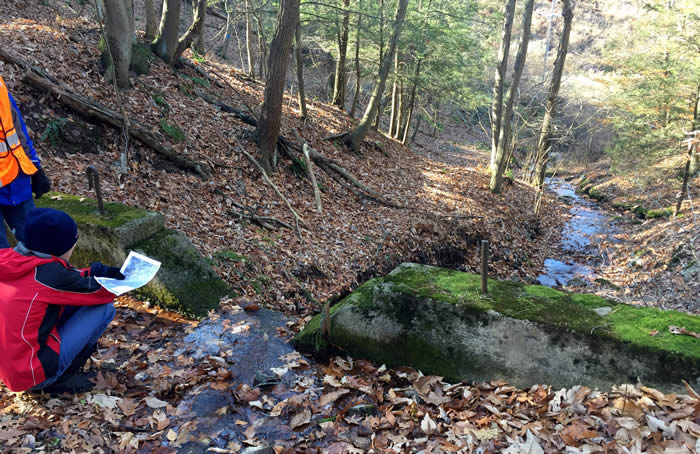
“Headwaters” is a grand term for the mossy rock pool where Cherry Creek begins. The surface barely shimmers, yet the water rises and grows in volume as the new-formed creek runs downhill. Before it reaches the valley, a low concrete dam captures water, once used to feed steam engines hauling bricks from Saylorsburg to New York, long before the highway took over the railroad.
From this still, secluded place, these waters make their way to the wide Delaware River, to become drinking water for 15 million people. This high, preserved and protected land helps keep that water safe and pure. A visit is worth the effort.
Carol Hillestad is a hike leader and writer for Get Outdoors Poconos, a grant-funded series administered by Brodhead Watershed Association.
Photos and video by Carol Hillestad
 |
|
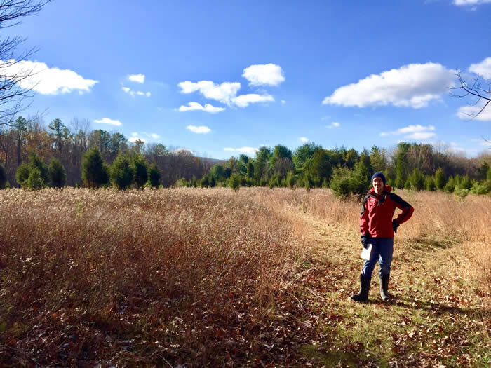
| Mapmaker Ambrose Cavalier is ready to cover some ground at Cherry Valley National Wildlife Refuge. |
 |
||
| An unusual find at Cherry Valley's Ridge Trail. This section used to be a construction staging area when Route 33 was being built. |
 |
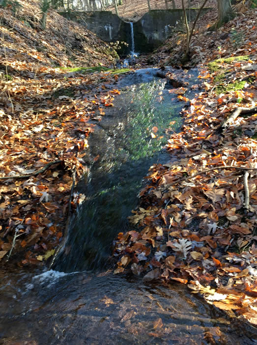 |
| A dam near the headwaters of Cherry Creek, viewed from above and below. |
 |
|
| An open meadow and trees keep wildlife occupied. | |
 |
|
Blue and white blazes mark the Ridge Trail. |
|
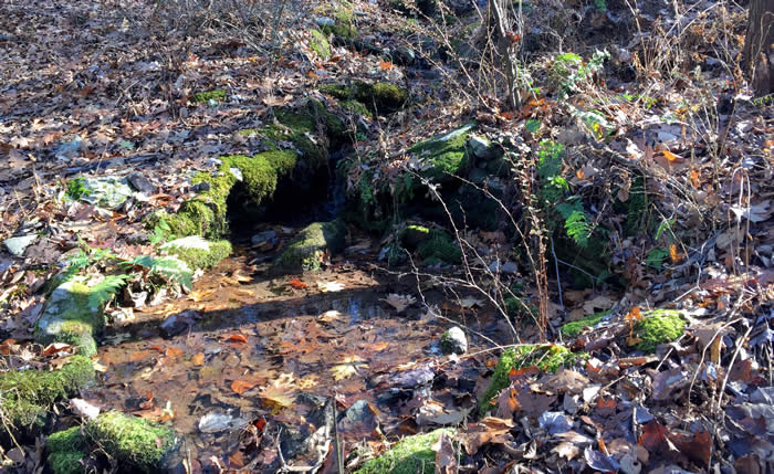 |
A rock pool: headwaters of Cherry Creek. |
Comments from other hikers:
Be the first to comment!
Share your experiences of this trail -- what you saw, how you liked it: