Mount Wismer
 IF YOU GO
Where: Trailhead is off Route 447, on Gravel Road in Barrett Township. Continue east on Gravel Road, just past the green nature preserve sign. Take the dirt lane on your left to the trailhead. Parking for 8 to 10 cars.
GPS coordinates for lower access point: 41-13.595N, 75-15.777W
For upper access point: 41-14.505N, 75-15.809W
For Gravel Family Preserve: 41-13.595N 75-15.777W
Trail information: The trail isn’t blazed at the start. Follow the woods road, beyond the metal gate, always bearing right. You will come to the red trail first – a 1.75-mile round trip which goes straight to the top. It is extremely steep and rocky. Soon after, you will come to the yellow trail, which also goes off to the right. This 4-mile trail will take at least two hours to hike.
KNOW BEFORE YOU GO:
• Mount Wismer and the adjoining Gravel Family Nature Preserve are open to the public.
• The Mount Wismer trails include steep hiking. Parts are wet. Wear sturdy boots or shoes.
• There is another, much easier trail leading to a marsh in Gravel Family Nature Preserve. This trail is easy and mostly flat. Parts are wet. Wear sturdy boots or shoes. For the marsh trail, take the left fork when you come to the yellow trail blazes.
• No motorized vehicles, including ATVs.
• For information on mountaintop access to the blue trail (an easier way to reach the viewpoint on Mount Wismer), click here.
 |
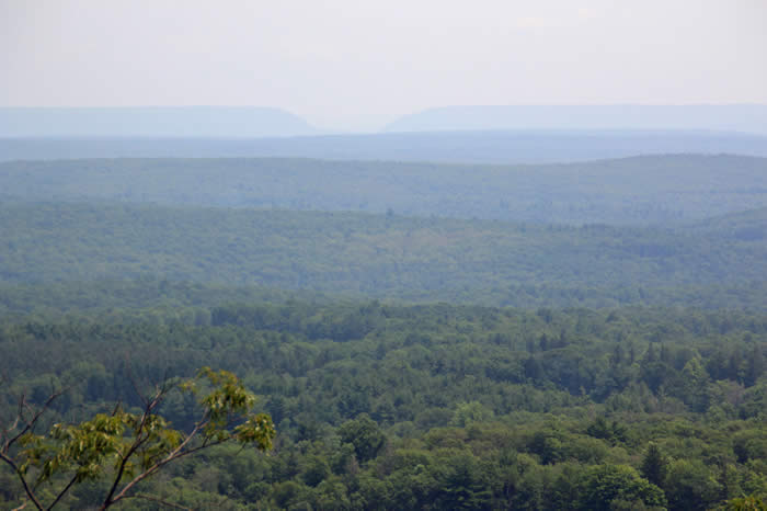 |
| Flat and fern-decorated, the summit of Mount Wismer is well worth the hiking effort. | Mount Wismer hikers who make it to the top are rewarded with a view of the Delaware Water Gap. |
Two trails, many beautiful views in Barrett’s backyard
By Carol Hillestad
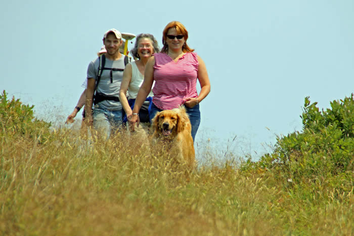
Hiking up Mount Wismer from the trailhead off Gravel Road is not for the faint-hearted – and Judy Linder does it once or twice a week, along with her canine buddy, Norman.
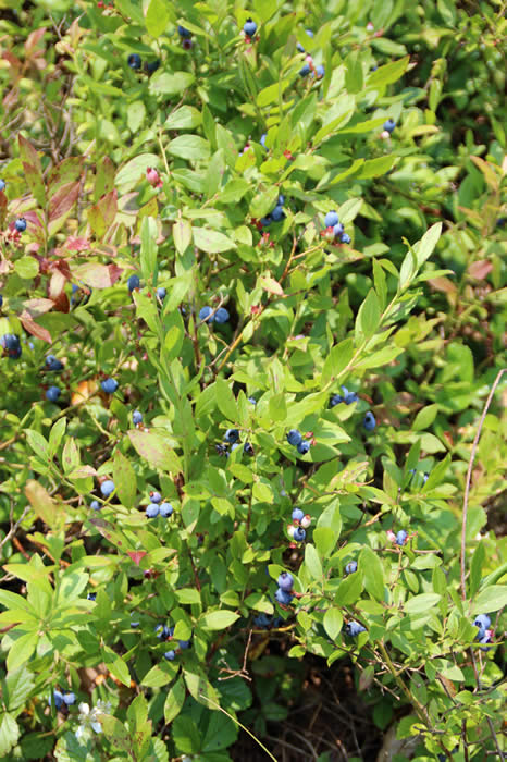
Patti O’Keefe and I met Judy and Norman at the trailhead on a cloudless Sunday and set off along an unmarked trail lined with deliciously ripe blueberries.
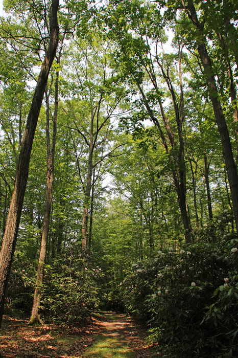
The trail follows an overgrown woods road along the eastern edge of the Gravel Family Preserve, passing open meadows. More blueberries – low-bush this time – were right at our feet. The milkweed was in bloom, attracting spangled fritillaries and other butterflies, and native rhododendrons were in full flower as we entered the woods.
 |
Spring-fed pools sparkled in the cool green light – some of the many wetlands kept pure by this preserve, including the headwaters of the Middle Branch of Brodhead Creek.
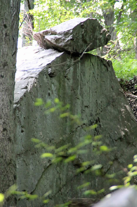
A trail marked with red diamonds cuts off to the right, offering a steep, rocky climb to the top. On Judy’s advice, we stick to the (somewhat) easier route marked in yellow, which winds among tumbled expanses of boulders shed by the Pocono escarpment over many centuries.
This is definitely uphill hiking now, and the footing takes attention. Judy charges ahead, with Norman leading the way, and kindly stops when we need a breather. The switchbacks are short. In some places, the trail goes straight up, coming out at a level area marked with blue diamonds.
“Ten minutes to the view!” Judy calls, and we head right, up a gentler slope with steep drop-offs down to the boulder-strewn woods 700 feet below. The oaks in this mixed hardwood forest, untouched by gypsy moth caterpillars, cast welcome shade.
“Gorgeous” is the mildest possible word for this wrap-around panorama. Even with afternoon haze, we can see Skytop’s West Mountain, the Water Gap and Camelback, the Inn at Buck Hill, and Spruce Lake Retreat. The serpentine lines of the escarpment show clearly.
Mount Wismer is a 90-acre preserve abutting the 170-acre Gravel Family Preserve, preserved by Barrett Township using a combination of local, state and county bond issue funds. The land is permanently set aside for public enjoyment, while also protecting wetlands, springs and creeks that help keep drinking water pure.
Photos by Nancy J. Hopping
 |
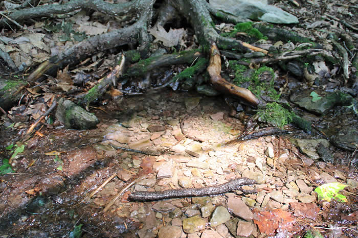 |
| Moonlight hike on Mount Wismer | Closeup of a spring at Mount Wismer |
 |
 |
 |
Blueberry bushes populate the start |
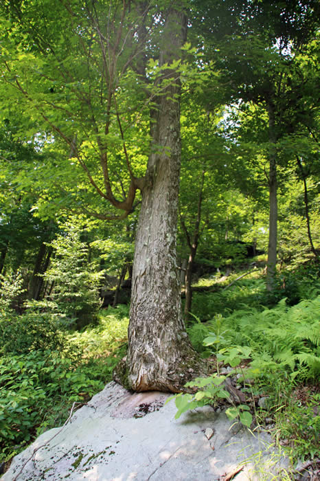
Rhododendrons are in ample supply. | Not even a boulder could stop this tree from thriving. |
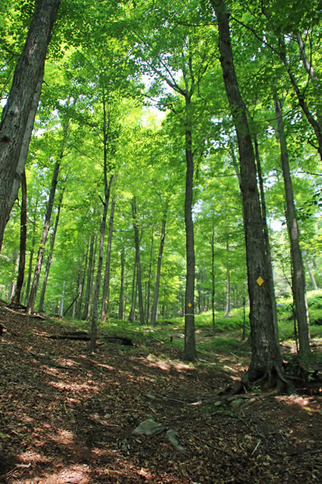 |
Yellow blazes mark the easier of two trails going to the top of Mount Wismer. |
 |
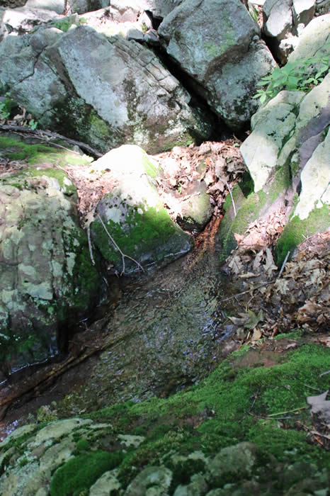 |
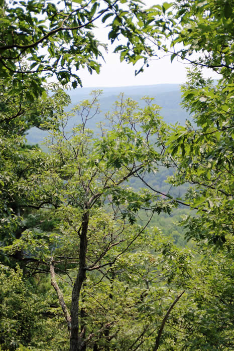
| On your way up Mount Wismer, stop and appreciate the view. | Take the time to study smaller views, too, including this spring. |
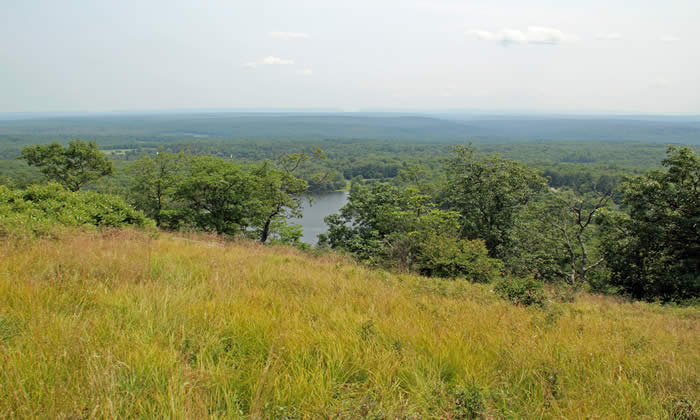 |
| A view of the middle branch of Brodhead Creek, from the top of Mount Wismer. |
Comments from other hikers:
ANONYMOUS: Beautiful view, great hike conducted by Carol Hillestad. A must in autumn.
ANONYMOUS: Yellow-blazed trail is THE TRAIL to take in the autumn if you are looking for fall foliage colors and possible migrating raptors.
MIKE: It is great to see so many people enjoying our beautiful part of the world!
ERIC H.: The first part of the hike is very pleasant through fields and blueberry bushes on the sides. Then the trail went up steeply, and we were surprised at how tired we got. ... An enjoyable hike and a good workout.
Share your experiences of this trail -- what you saw, how you liked it:
