West End Regional Park's East End
 IF YOU GO
Where: 578 Evergreen Hollow Road, Saylorsburg, Pa., in Chestnuthill Township. From Route 715, take Evergreen Hollow Road approximately two-tenths of a mile to the trailhead on your left.
GPS coordinates: 40.9610 -75.4094
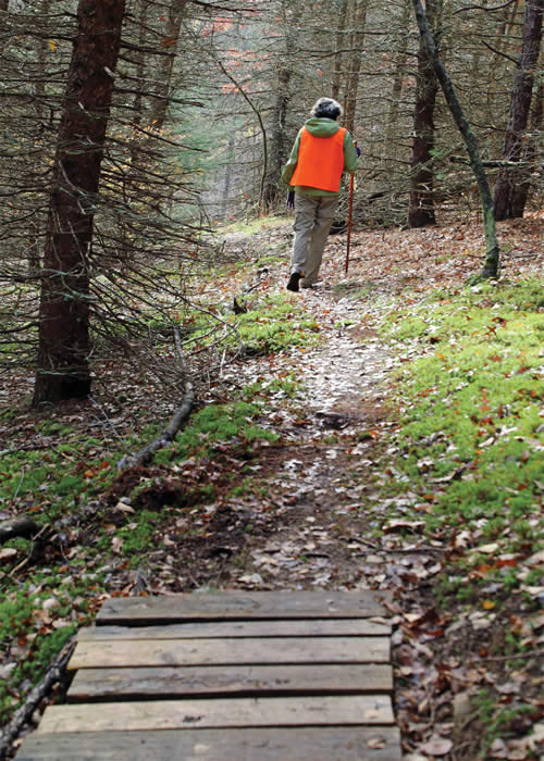
Trail information: A moderate to challenging hike of about 2 miles on a network of single-track trails to challenge mountain bikers as well as hikers. Easy to follow, with few roots or rocks, and the steep downhill incline eases its way through multiple switchbacks.
![]()
• Water over the dam at West End Regional Park
KNOW BEFORE YOU GO:
• Many events are held at the park, including 5K foot races. A dog park is planned. Information at weposc.org.
• The park is part of the West End Greenway, which includes Big Woods Natural Area, Sherwood Forest Preserve and State Gamelands 186.
• Open dawn to dusk.
• Leashed dogs welcome. Owners must clean up and carry out waste.
• No sanitary facilities or trash receptacles. Please pack out whatever you pack in.
• No ATVs or other motorized vehicles.
• Five miles of trails of varying levels of difficulty. Check the trailhead kiosk for routes, as well as Get Outdoors Poconos' page on other West End Regional Park trails.
• Hunting permitted as part of the PA Game Commission’s Hunter Access Program. Wear fluorescent orange during hunting season. For information, click here.
Challenging outdoor fun at West End Regional Park
By Carol Hillestad
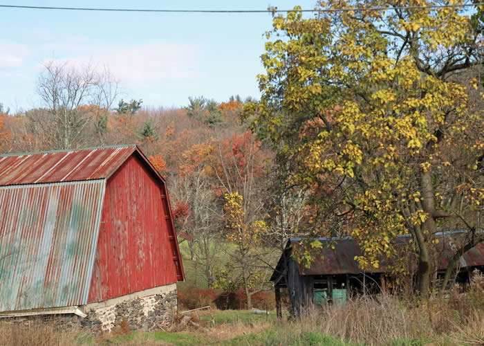
A family farm sits across the road from the trailhead. Cows dawdle by a barbed-wire fence, chewing their cud. A hazy late-fall sun lights up the big field at West End Regional Park.
Peaceful views like these are only part of the appeal of the 244-acre park owned by Chestnuthill Township. A flat, handicapped-accessible path of about a mile loops through mature forest, with exercise stations along the way. Wide, groomed trails lead from the parking area to a variety of meadow and woodland habitats. And, last spring, a group of volunteers – including Pleasant Valley School District students – built a new network of single-track trails to challenge mountain bikers.
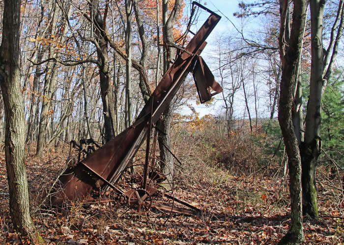
 Bernie Kozen, executive director of the West End Park and Open Space Commission, met me at the parking area to give me a hiker’s-eye view of the new trail network. From the trailhead, we started upslope along the open field. We took a short detour into the woods to visit a venerable old piece of farm equipment — a hay rake? — proof, as if it were needed, that this land used to be farmed.
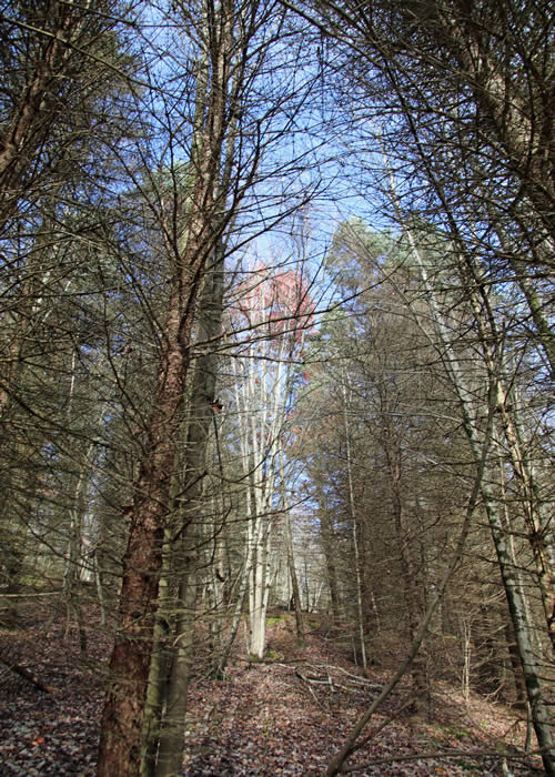
The new single-track trail veered off into the woods, past stands of white birch and other reminders of a large tree nursery that once flourished here. The trail is easy to follow, with few roots or rocks, and the steep downhill incline eases its way through multiple switchbacks. Framed by pines, Norway spruces, and fall’s leafless hardwoods, the land slopes away toward a view of rising hills beyond Merwine Hilltop Road, and a bubbling creek below.
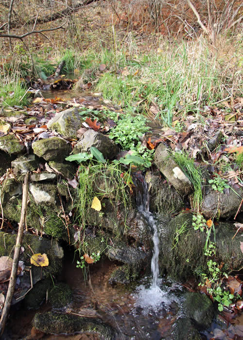
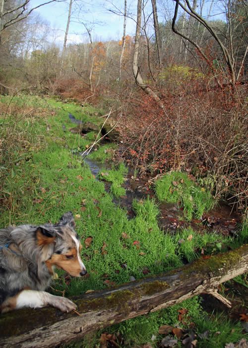
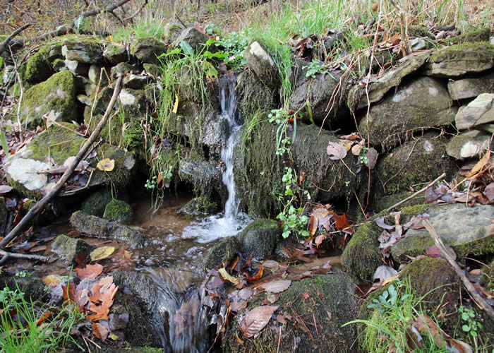
The creek is an unnamed tributary of the McMichael. We stop where an old rockwall dam still holds back the water, except for a narrow outlet where the creek rushes through. The dam originally created a pond, which has grown in and become a marshy wetland, full of grasses and watercress.
Rain and snowmelt from the park filter down toward this little stream. From here it flows to McMichael Creek, whose headwaters rise high on the edge of Pocono Plateau. Ancient wetlands and open springs release pure water that tumbles over rock faces and through dense woods, joining to become the McMichael. The McMichael then picks up the water from this little stream on its way to the Brodhead, Delaware, and the Atlantic Ocean.
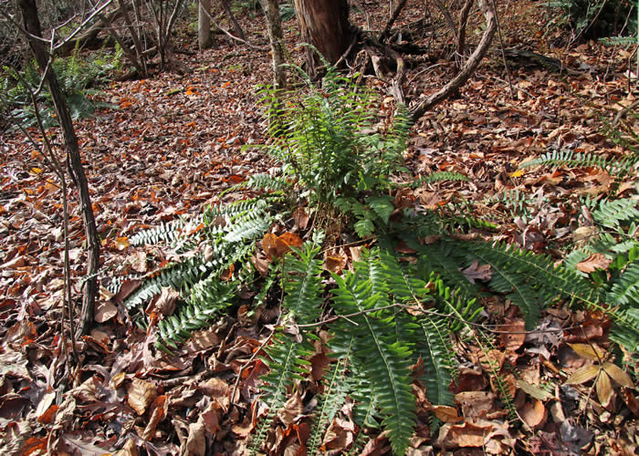
Returning to the trail, we leave the little tributary behind and climb back uphill. Masses of woodfern and evergreen Christmas ferns fill slopes in the open red-pine woods. Trails cross and loop among the trees to create challenges for mountain bikers. Uphill and down, they make for challenging and exhilarating hiking, too.
Back at the trailhead, the cows have moseyed away, but we find a dozen cars in the parking lot. Young mothers with strollers, older couples power-walking, a runner or two, lots of dog-walkers — the park offers healthy, open-air recreation for everyone, worth a visit from anywhere in the Poconos.
Carol Hillestad is a hike leader and writer for Get Outdoors Poconos, a grant-funded series administered by Brodhead Watershed Association.
Photos and video by Nancy J. Hopping
 |
|
| Hike leader Carol Hillestad and Little Bear enjoy the view at West End Regional Park. |
 |
 |
|
| Part of the trail network leads into the woods. | Little Bear finds his way to the water. |
 |
|
| Evidence of the park's previous agricultural life can be found rusting in the woods. |
 |
|
| Part of an old farm wagon. | |
 |
|
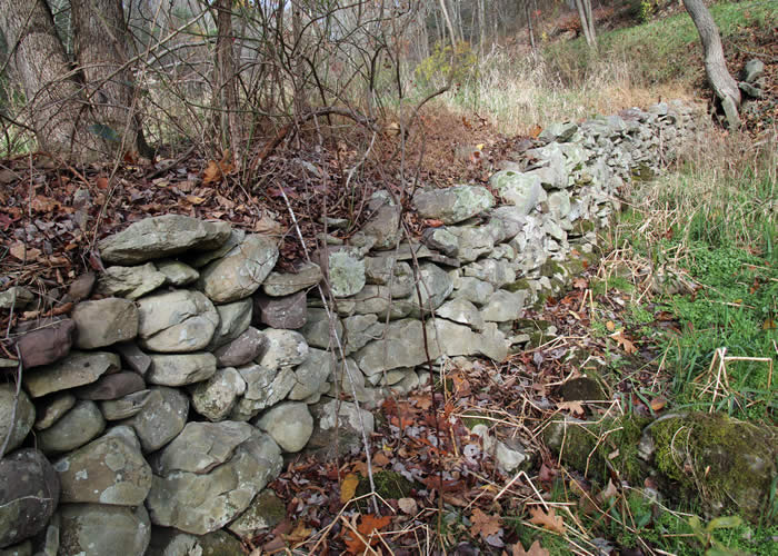
Stone walls mark the former boundaries of a farm. |
|
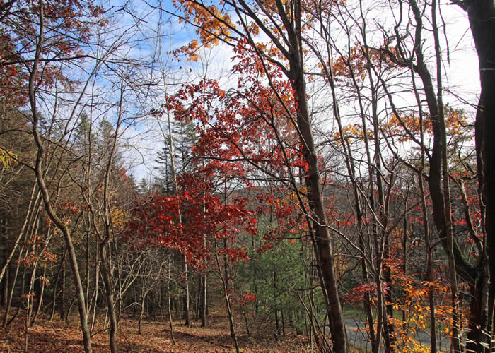 |
The park feels secluded but is not far from civilization. |
 |
 |
| Christmas ferns and fungi decorate the West End Regional Park trails. |
 |
|
| An unnamed tributary of McMichael Creek creates tiny waterfalls in the park. |
 |
|
Comments from other hikers:
Be the first to comment!
Share your experiences of this trail -- what you saw, how you liked it:
