Red Rock Trail
 IF YOU GO
Where: Red Rock Trail is part of the Mount Airy Trail Network on lands protected by a conservation easement which Paradise Township, Pa., holds. Mount Airy Trail Network’s Red Rock trailhead on Red Rock Road. From Route 191 in Paradise Valley, Pa., take Red Rock Road for eight-tenths of a mile. Trailhead is on your right.
GPS coordinates: 41.112493, -75.290897
Trail information: Trails are well-groomed, but frequently have fallen oaks to climb over. Many sections of the trails have stone steps and switchbacks. The map at the trailhead kiosk shows 4 miles of trails. The center loop is a wide, gravel path of about a mile.
![]()
• Birdsong at Red Rock Trail in Paradise Valley, Pa
KNOW BEFORE YOU GO:
• Open 8 a.m. to dusk.
• No hunting, fishing, ATVs or other motorized vehicles.
• Leashed dogs welcome. Owners must clean up and carry out waste.
• No trash receptacles. Please pack out whatever you pack in.
A bit of everyday 'awesome' at Red Rock Trail
By Carol Hillestad
Every year in May, a marathon runs right by the foot of my driveway. And every year, as I stand there clapping and cheering, at least one visiting runner calls out, “This place is awesome!”
Living here, it’s easy to forget how “awesome” our part of the world really is.
Awe is part of daily life outdoors in the Poconos. Sometimes it is purely joyful — when your heart leaps at the sight of an eagle soaring overhead. Sometimes it gives you the shivers — at the approach of a storm’s boiling dark clouds, or a sheer, looming rockface.
 And you can find these everyday wonders not just in deep woods, but on manicured trails right off the road – such as Red Rock Trail, part of the Mount Airy Trail Network on lands protected by a conservation easement which Paradise Township holds.
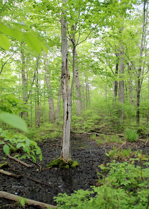
The map at the trailhead kiosk shows 4 miles of trails. The center loop is a wide, gravel path of about a mile. In early spring, the wetland at the start of the trail is alive with salamanders, spring peepers, wood frogs and other creatures laying their eggs. Dense stands of native mountain laurels put on a stunning show here from late May into June.
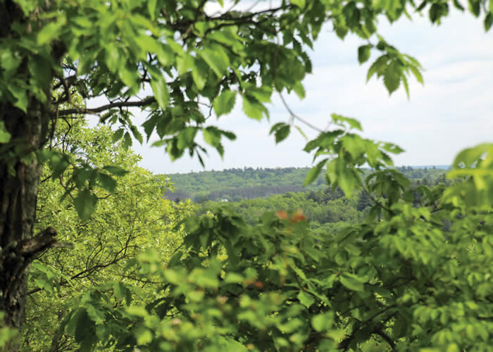
Single-track spurs of gravel curve out and around the center, providing views through oaks and maples toward the north and Camelback to the south. The spur to Mount Sophia takes you to a pine and hemlock upland at 1,600 feet. When the leaves fall, your climb is rewarded by lovely, long views over hills in all directions, and toward the edge of the Pocono escarpment in Mount Pocono.
Even on this relatively dry ridge of rock, water rises. Water from these wetlands, seeps and tiny runs flows into Paradise Creek and Forest Hills Run, and then the Brodhead on its way to the Delaware River. People walk these trails a lot. Yet even when no human is here, this protected land acts like a free, natural water treatment plant, filtering and purifying water — pure drinking water for everyone from Kalahari to Stroudsburg, who get their drinking water from Brodhead Creek.
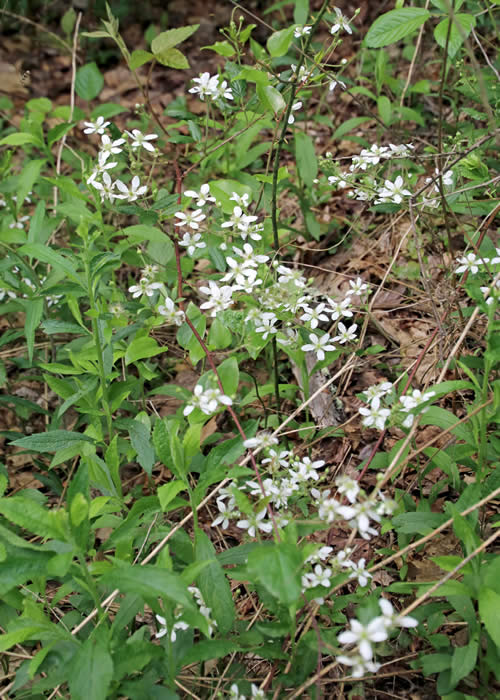
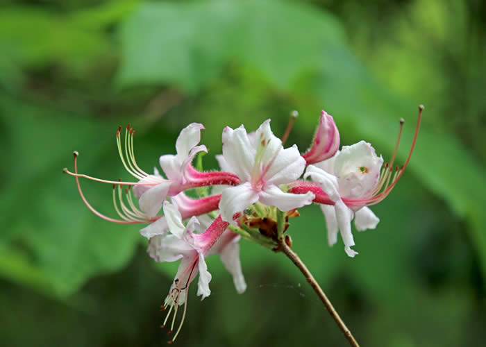
At any time of year, this small preserve brims with everyday wonders. Mourning doves, wood thrush, pine warblers, veerys and other birds whose songs I don’t know keep me company on the trail. Blue-eyed grass, sweet fern, wild strawberry, blackberries and blueberries, wild geranium, witch hazel, bracken fern, mountain azalea, mosses and lichen abound.
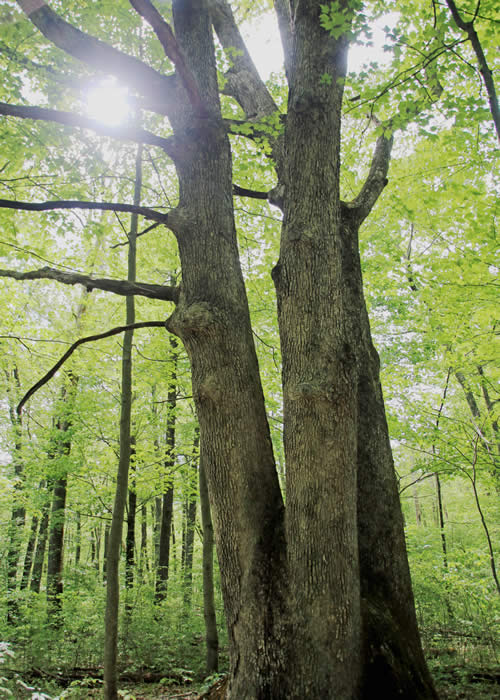
The extensive oak woodland is ghostly now, seriously hit by gypsy moths a few years ago — yet it is regrowing before my eyes. Thousands of oak saplings are already head-high. And several huge, venerable old oaks, surely at least as old as our country, have survived and guard their own secrets for curious hikers.
The Nature Conservancy calls our naturally beautiful Poconos, with our clean air and pure water, “one of the last great places on earth.”
Awesome!
Carol Hillestad is a hike leader and writer for Get Outdoors Poconos, a grant-funded series administered by Brodhead Watershed Association.
Photos and videos by Nancy J. Hopping
 |
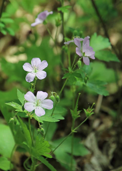 |
| Blackberries in bloom | Wild geraniums |
 |
||
| Mountain azalea |
 |
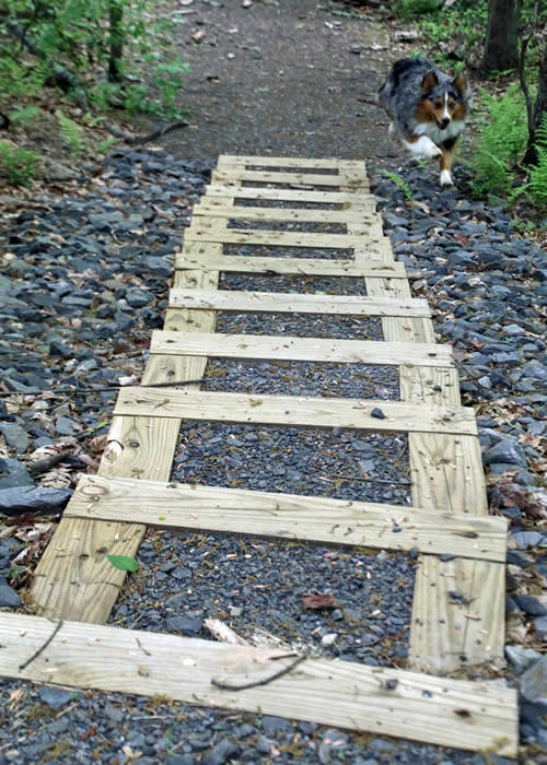 |
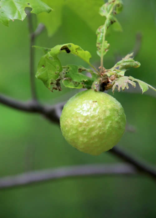
| An "oak apple" | Red Rock Trail includes steps and switchbacks. |
 |
|
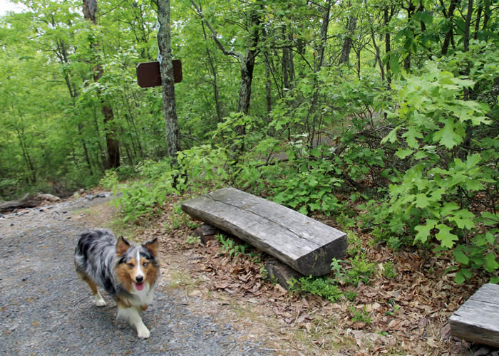
| Little Bear points out the benches placed for hikers' relaxation along well-groomed trails. | |
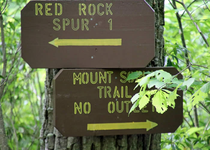 |
| Signs guide hikers to the various spurs of Red Rock Trail. |
 |
|
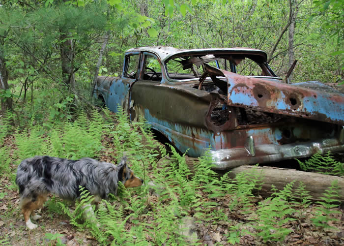
Little Bear investigates a "strange animal" in the forest. |
Comments from other hikers:
Be the first to comment!
Share your experiences of this trail -- what you saw, how you liked it:
